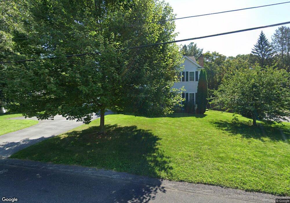
27 Notre Dame Rd Bedford, MA 01730
Estimated Value: $1,558,115 - $1,713,000
4
Beds
3
Baths
3,134
Sq Ft
$528/Sq Ft
Est. Value
About This Home
This home is located at 27 Notre Dame Rd, Bedford, MA 01730 and is currently estimated at $1,654,029, approximately $527 per square foot. 27 Notre Dame Rd is a home located in Middlesex County with nearby schools including Lt. Elezer Davis Elementary School, Lt .Job Lane Elementary School, and John Glenn Middle School.
Ownership History
Date
Name
Owned For
Owner Type
Purchase Details
Closed on
Jun 19, 2025
Sold by
Perales Xavier J and Perales Dorothy L
Bought by
Perales Ft and Perales
Current Estimated Value
Purchase Details
Closed on
Jun 9, 2006
Sold by
Integrity Building & D
Bought by
Anderson-Perales Dorothy and Perales Xavier
Home Financials for this Owner
Home Financials are based on the most recent Mortgage that was taken out on this home.
Original Mortgage
$470,000
Interest Rate
6.62%
Mortgage Type
Purchase Money Mortgage
Purchase Details
Closed on
May 20, 2005
Sold by
Robinson Carolan M and Robinson David A
Bought by
Integrity Bldg & Design
Home Financials for this Owner
Home Financials are based on the most recent Mortgage that was taken out on this home.
Original Mortgage
$637,500
Interest Rate
5.95%
Mortgage Type
Purchase Money Mortgage
Create a Home Valuation Report for This Property
The Home Valuation Report is an in-depth analysis detailing your home's value as well as a comparison with similar homes in the area
Home Values in the Area
Average Home Value in this Area
Purchase History
| Date | Buyer | Sale Price | Title Company |
|---|---|---|---|
| Perales Ft | -- | None Available | |
| Perales Ft | -- | None Available | |
| Anderson-Perales Dorothy | $879,000 | -- | |
| Anderson-Perales Dorothy | $879,000 | -- | |
| Integrity Bldg & Design | $402,000 | -- | |
| Integrity Bldg & Design | $402,000 | -- |
Source: Public Records
Mortgage History
| Date | Status | Borrower | Loan Amount |
|---|---|---|---|
| Previous Owner | Anderson-Perales Dorothy | $470,000 | |
| Previous Owner | Integrity Bldg & Design | $637,500 | |
| Previous Owner | Integrity Bldg & Design | $50,000 |
Source: Public Records
Tax History Compared to Growth
Tax History
| Year | Tax Paid | Tax Assessment Tax Assessment Total Assessment is a certain percentage of the fair market value that is determined by local assessors to be the total taxable value of land and additions on the property. | Land | Improvement |
|---|---|---|---|---|
| 2025 | $16,110 | $1,338,000 | $493,500 | $844,500 |
| 2024 | $15,137 | $1,274,200 | $470,000 | $804,200 |
| 2023 | $14,040 | $1,125,000 | $443,900 | $681,100 |
| 2022 | $13,911 | $1,024,400 | $435,200 | $589,200 |
| 2021 | $6,724 | $1,015,700 | $426,500 | $589,200 |
| 2020 | $13,387 | $1,015,700 | $426,500 | $589,200 |
| 2019 | $13,031 | $1,005,500 | $426,500 | $579,000 |
| 2018 | $5,575 | $949,700 | $372,900 | $576,800 |
| 2017 | $14,498 | $978,900 | $402,100 | $576,800 |
| 2016 | $13,807 | $903,620 | $365,600 | $538,020 |
| 2015 | $13,509 | $924,033 | $365,600 | $558,433 |
| 2014 | $13,976 | $889,600 | $348,200 | $541,400 |
Source: Public Records
Map
Nearby Homes
- 5 Clark Rd
- 20 Selfridge Rd
- 186 Concord Rd
- 45 Winterberry Way
- 26 Kendall Ct Unit 67
- 6 Parker Rd
- 7 Blue Heron Way
- 54 Minot Rd
- 86 Butternut Cir
- 644 Old Bedford Rd
- 389 River Rd
- 62 Carlisle Rd
- 267 Carlisle Rd
- 10 Carlisle Rd Unit 12
- 28 Hatch Farm Ln
- 10 Hatch Farm Ln
- 16 Hatch Farm Ln
- 25 Pickman Dr Unit 25
- 22 Springs Rd
- 1 Harvard Dr
- 25 Notre Dame Rd
- 1 Glenridge Dr
- 3 Glenridge Dr
- 23 Notre Dame Rd
- 26 Notre Dame Rd
- 5 Glenridge Dr
- 24 Notre Dame Rd
- 21 Notre Dame Rd
- 22 Notre Dame Rd
- 7 Glenridge Dr
- 2 Glenridge Dr
- 33 Notre Dame Rd
- 19 Notre Dame Rd
- 20 Notre Dame Rd
- 18 Notre Dame Rd
- 37 Notre Dame Rd
- 9 Glenridge Dr
- 4 Glenridge Dr
- 16 Notre Dame Rd
- 6 Glenridge Dr