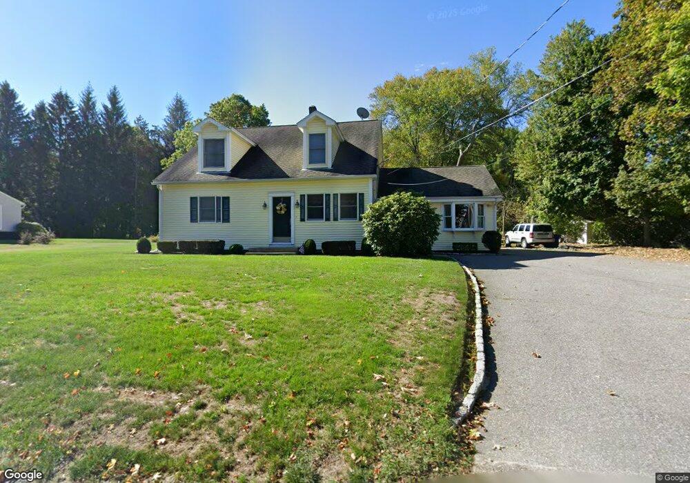
27 Old Common Rd Lancaster, MA 01523
Estimated Value: $552,949 - $700,000
4
Beds
2
Baths
2,423
Sq Ft
$253/Sq Ft
Est. Value
About This Home
This home is located at 27 Old Common Rd, Lancaster, MA 01523 and is currently estimated at $612,487, approximately $252 per square foot. 27 Old Common Rd is a home located in Worcester County with nearby schools including Mary Rowlandson Elementary School, Luther Burbank Middle School, and Nashoba Regional High School.
Ownership History
Date
Name
Owned For
Owner Type
Purchase Details
Closed on
Mar 30, 1999
Sold by
Linton David H and Linton Diane E
Bought by
Bedini Peter J and Bedini Jennifer A
Current Estimated Value
Home Financials for this Owner
Home Financials are based on the most recent Mortgage that was taken out on this home.
Original Mortgage
$105,000
Outstanding Balance
$26,013
Interest Rate
6.78%
Mortgage Type
Purchase Money Mortgage
Estimated Equity
$586,474
Purchase Details
Closed on
Apr 14, 1994
Sold by
Reeves Pamela
Bought by
Linton David H and Linton Diane
Create a Home Valuation Report for This Property
The Home Valuation Report is an in-depth analysis detailing your home's value as well as a comparison with similar homes in the area
Home Values in the Area
Average Home Value in this Area
Purchase History
| Date | Buyer | Sale Price | Title Company |
|---|---|---|---|
| Bedini Peter J | $155,000 | -- | |
| Linton David H | $85,000 | -- |
Source: Public Records
Mortgage History
| Date | Status | Borrower | Loan Amount |
|---|---|---|---|
| Open | Linton David H | $105,000 | |
| Previous Owner | Linton David H | $185,000 | |
| Previous Owner | Linton David H | $85,000 |
Source: Public Records
Tax History
| Year | Tax Paid | Tax Assessment Tax Assessment Total Assessment is a certain percentage of the fair market value that is determined by local assessors to be the total taxable value of land and additions on the property. | Land | Improvement |
|---|---|---|---|---|
| 2025 | $6,611 | $409,100 | $118,800 | $290,300 |
| 2024 | $6,619 | $379,100 | $110,600 | $268,500 |
| 2023 | $6,171 | $359,000 | $100,500 | $258,500 |
| 2022 | $5,709 | $293,500 | $103,200 | $190,300 |
| 2021 | $5,578 | $279,200 | $103,200 | $176,000 |
| 2020 | $5,661 | $285,200 | $103,100 | $182,100 |
| 2019 | $5,388 | $272,800 | $103,100 | $169,700 |
| 2018 | $5,193 | $259,900 | $103,100 | $156,800 |
| 2016 | $4,801 | $245,600 | $102,200 | $143,400 |
| 2015 | $4,174 | $222,500 | $102,200 | $120,300 |
| 2014 | $4,103 | $217,000 | $102,200 | $114,800 |
Source: Public Records
Map
Nearby Homes
- 132 Kilbourn Rd
- 12 Woodruff Rd
- 920 Ridgefield Cir Unit C
- 610 Ridgefield Cir Unit B
- 46 Woodruff Rd
- 110 Ridgefield Cir Unit C
- 76 Mill St Unit 3
- 73 Prescott St
- 892 Main St
- 101 Woodruff Rd
- 113 Parker Rd Unit 1
- 0 Parker Rd
- 93 Forest St
- 508 High St
- 201 Stone St Unit 203
- 201-203 Stone St
- 139 Oak Trail
- 114 Oak Trail
- 861 Main St
- 144 Seven Bridge Rd
- 17 Old Common Rd
- 37 Old Common Rd
- 5 Corners
- 12 Old Common Rd
- 7 Old Common Rd
- 32 Old Common Rd
- 51 Old Common Rd
- 59 Old Common Rd
- 419 High Street Extension
- 65 Old Common Rd
- 71 Old Common Rd
- 405 High Street Extension
- 405 High Street Extension Unit 2
- 505 Center Bridge Rd
- 85 Old Common Rd
- 395 High Street Extension
- 99 Squire Shaler Ln
- 105 Old Common Rd
- 331 Bolton Station Rd
- 62 Squire Shaler Ln
Your Personal Tour Guide
Ask me questions while you tour the home.