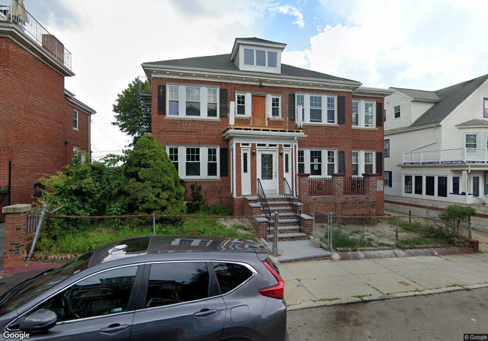
27 Ormond St Mattapan, MA 02126
Wellington Hill Neighborhood
Studio
--
Bath
3,682
Sq Ft
6,273
Sq Ft Lot
About This Home
This home is located at 27 Ormond St, Mattapan, MA 02126. 27 Ormond St is a home located in Suffolk County with nearby schools including KIPP Academy Boston Charter School and Berea Sda Academy.
Ownership History
Date
Name
Owned For
Owner Type
Purchase Details
Closed on
Aug 14, 2023
Sold by
Ford Helen and Ford Joyce D
Bought by
Ford Helen and Ford Joyce D
Home Financials for this Owner
Home Financials are based on the most recent Mortgage that was taken out on this home.
Original Mortgage
$200,000
Outstanding Balance
$194,957
Interest Rate
6.71%
Mortgage Type
New Conventional
Purchase Details
Closed on
Feb 25, 2020
Sold by
Ford Helen
Bought by
Ford Helen and Ford Joyce D
Create a Home Valuation Report for This Property
The Home Valuation Report is an in-depth analysis detailing your home's value as well as a comparison with similar homes in the area
Home Values in the Area
Average Home Value in this Area
Purchase History
| Date | Buyer | Sale Price | Title Company |
|---|---|---|---|
| Ford Helen | -- | None Available | |
| Ford Helen | -- | None Available | |
| Ford Helen | -- | None Available |
Source: Public Records
Mortgage History
| Date | Status | Borrower | Loan Amount |
|---|---|---|---|
| Open | Ford Helen | $200,000 | |
| Closed | Ford Helen | $200,000 |
Source: Public Records
Tax History
| Year | Tax Paid | Tax Assessment Tax Assessment Total Assessment is a certain percentage of the fair market value that is determined by local assessors to be the total taxable value of land and additions on the property. | Land | Improvement |
|---|---|---|---|---|
| 2025 | -- | $537,800 | $178,300 | $359,500 |
| 2024 | -- | $562,700 | $178,300 | $384,400 |
| 2023 | $0 | $571,700 | $178,300 | $393,400 |
| 2022 | $0 | $553,900 | $178,300 | $375,600 |
| 2021 | $0 | $559,600 | $148,600 | $411,000 |
| 2020 | $0 | $419,900 | $148,600 | $271,300 |
| 2019 | $0 | $505,000 | $148,500 | $356,500 |
| 2018 | $0 | $475,000 | $142,600 | $332,400 |
| 2017 | $0 | $455,000 | $130,700 | $324,300 |
| 2016 | -- | $413,500 | $118,800 | $294,700 |
| 2015 | -- | $362,500 | $101,000 | $261,500 |
| 2014 | -- | $336,000 | $89,200 | $246,800 |
Source: Public Records
Map
Nearby Homes
- 16 Clarkwood St Unit 2
- 16 Clarkwood St Unit 1
- 16 Clarkwood St Unit 3
- 72 Wellington Hill St
- 67 Wildwood St
- 567B Norfolk St
- 58 Mattapan St
- 5 Sutton St
- 5 Sutton St Unit 3B
- 691-695 Morton St
- 62 Westmore Rd
- 618 Harvard St
- 95 Deering Rd
- 157 Delhi St
- 116 Almont St
- 165-167 Delhi St
- 60 and 64 Monterey Ave
- 20 Monterey Ave
- 55 Wilcock St
- 59 Wilcock St
- 27 Ormond St Unit 1 27 Ormond St.
- 27 Ormond St
- 27 Ormond St Unit 1R
- 27 Ormond St Unit 1
- 31 Ormond St
- 23 Ormond St
- 35 Ormond St
- 1295 Blue Hill Ave
- 1299 Blue Hill Ave
- 1261 Blue Hill Ave Unit 1299
- 19 Ormond St
- 28 Ormond St
- 34 Ormond St
- 39 Ormond St
- 15 Ormond St
- 18 Ormond St Unit 20
- 16 Ormond St
- 36 Ormond St
- 11 Ormond St
- 43 Ormond St
Your Personal Tour Guide
Ask me questions while you tour the home.