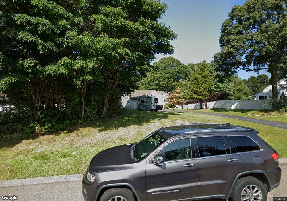
27 Osprey Cir Westbrook, CT 06498
Estimated Value: $645,000 - $775,000
3
Beds
2
Baths
1,514
Sq Ft
$456/Sq Ft
Est. Value
About This Home
This home is located at 27 Osprey Cir, Westbrook, CT 06498 and is currently estimated at $689,972, approximately $455 per square foot. 27 Osprey Cir is a home located in Middlesex County with nearby schools including Daisy Ingraham School, Westbrook Middle School, and Westbrook High School.
Ownership History
Date
Name
Owned For
Owner Type
Purchase Details
Closed on
Aug 9, 2024
Sold by
Szkotnicki Lorraine S and Seelfo Linda
Bought by
Beebe Cindy L and Beebe Jeffrey L
Current Estimated Value
Purchase Details
Closed on
Apr 19, 2011
Sold by
Scelfo Lucy
Bought by
Scelfo-Appio Linda and Scelfo-Appio Scelfo-Szkotnicki L
Create a Home Valuation Report for This Property
The Home Valuation Report is an in-depth analysis detailing your home's value as well as a comparison with similar homes in the area
Home Values in the Area
Average Home Value in this Area
Purchase History
| Date | Buyer | Sale Price | Title Company |
|---|---|---|---|
| Beebe Cindy L | $620,000 | None Available | |
| Beebe Cindy L | $620,000 | None Available | |
| Scelfo-Appio Linda | -- | -- | |
| Scelfo-Appio Linda | -- | -- |
Source: Public Records
Tax History Compared to Growth
Tax History
| Year | Tax Paid | Tax Assessment Tax Assessment Total Assessment is a certain percentage of the fair market value that is determined by local assessors to be the total taxable value of land and additions on the property. | Land | Improvement |
|---|---|---|---|---|
| 2025 | $7,813 | $347,260 | $209,670 | $137,590 |
| 2024 | $7,374 | $339,820 | $209,670 | $130,150 |
| 2023 | $7,245 | $339,820 | $209,670 | $130,150 |
| 2022 | $7,055 | $339,820 | $209,670 | $130,150 |
| 2021 | $6,100 | $244,000 | $111,380 | $132,620 |
| 2020 | $6,100 | $244,000 | $111,380 | $132,620 |
| 2019 | $6,019 | $244,000 | $111,380 | $132,620 |
| 2018 | $5,946 | $244,000 | $111,380 | $132,620 |
| 2017 | $5,946 | $244,000 | $111,380 | $132,620 |
| 2016 | $4,795 | $207,200 | $66,830 | $140,370 |
| 2015 | $4,664 | $207,200 | $66,830 | $140,370 |
| 2014 | $4,515 | $207,200 | $66,830 | $140,370 |
Source: Public Records
Map
Nearby Homes
- 6 Indian Trail
- 56 Linden Ave N
- 51 Linden Ave N
- 51 Sunrise Rd
- 201 Old Mail Trail
- 50 & 61 Grove Way
- 0 Boston Post Rd Unit 24080344
- 407 Grove Beach Rd N
- 448 A - B Grove Beach Rd N
- 0 Causeway
- 176 Shore Rd
- 280 E Main St Unit A2
- 35 Meadow Rd
- 153 Shore Rd Unit 2
- 144 Shore Rd
- 951 Old Clinton Rd Unit 17
- 912 Boston Post Rd
- 59 Old Post Rd Unit AR1
- 1110 Old Clinton Rd
- 18 Tidewater Ln Unit 18
- 33 Osprey Cir
- 192 Boston Post Rd
- 178 Osprey Cir
- 192 Boston Post Rd
- 121 Osprey Cir
- 10 Osprey Cir
- 4 Osprey Cir
- 174 Osprey Cir
- 177 Osprey Cir
- 2 Osprey Cir
- 174 Boston Post Rd Unit 2
- 174 Boston Post Rd
- 191 Boston Post Rd
- 5 Riverview Rd
- 44 Osprey Cir
- 168 Osprey Cir
- 176 Boston Post Rd Unit 5
- 176 Boston Post Rd Unit I
- 176 Boston Post Rd Unit G
- 176 Boston Post Rd