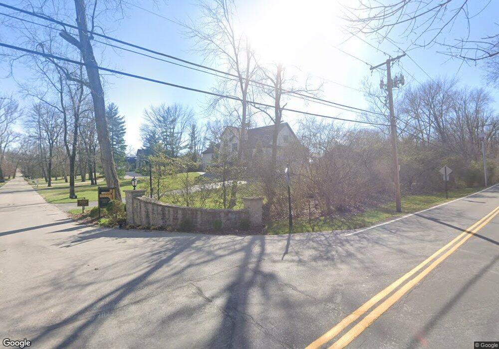
27 Overbrook Dr Saint Louis, MO 63124
Estimated Value: $2,087,000 - $2,435,997
5
Beds
6
Baths
6,461
Sq Ft
$349/Sq Ft
Est. Value
About This Home
This home is located at 27 Overbrook Dr, Saint Louis, MO 63124 and is currently estimated at $2,254,249, approximately $348 per square foot. 27 Overbrook Dr is a home located in St. Louis County with nearby schools including Reed Elementary, Ladue 5th Grade Center, and Ladue Middle.
Ownership History
Date
Name
Owned For
Owner Type
Purchase Details
Closed on
Feb 22, 2019
Sold by
Henke Frances B and Butler Elizabeth J
Bought by
Joint Rev Tr Of Frances B Henke Jr & Eli
Current Estimated Value
Purchase Details
Closed on
Apr 14, 2015
Sold by
Nancy G Simon Revocable Living Trust
Bought by
Henke Francis B and Butler Elizabeth J
Purchase Details
Closed on
Mar 19, 2004
Sold by
Simon Nancy G
Bought by
Simon Nancy G
Home Financials for this Owner
Home Financials are based on the most recent Mortgage that was taken out on this home.
Original Mortgage
$315,000
Interest Rate
5.64%
Mortgage Type
New Conventional
Purchase Details
Closed on
Jan 19, 2002
Sold by
Simon Nancy Gund
Bought by
Simon Nancy G and Nancy G Simon Revocable Living Trust
Purchase Details
Closed on
Jun 4, 2001
Sold by
Ejr Simon John and Ejr Nancy G
Bought by
Simon Nancy Gund
Create a Home Valuation Report for This Property
The Home Valuation Report is an in-depth analysis detailing your home's value as well as a comparison with similar homes in the area
Home Values in the Area
Average Home Value in this Area
Purchase History
| Date | Buyer | Sale Price | Title Company |
|---|---|---|---|
| Joint Rev Tr Of Frances B Henke Jr & Eli | -- | None Available | |
| Henke Francis B | $395,000 | Investors Title Company | |
| Simon Nancy G | -- | -- | |
| Simon Nancy G | -- | -- | |
| Simon Nancy G | -- | -- | |
| Simon Nancy Gund | -- | -- |
Source: Public Records
Mortgage History
| Date | Status | Borrower | Loan Amount |
|---|---|---|---|
| Previous Owner | Simon Nancy G | $315,000 |
Source: Public Records
Tax History Compared to Growth
Tax History
| Year | Tax Paid | Tax Assessment Tax Assessment Total Assessment is a certain percentage of the fair market value that is determined by local assessors to be the total taxable value of land and additions on the property. | Land | Improvement |
|---|---|---|---|---|
| 2025 | $19,048 | $362,140 | $86,510 | $275,630 |
| 2024 | $19,048 | $282,230 | $51,910 | $230,320 |
| 2023 | $19,012 | $282,230 | $51,910 | $230,320 |
| 2022 | $17,637 | $252,240 | $43,240 | $209,000 |
| 2021 | $16,777 | $252,240 | $43,240 | $209,000 |
| 2020 | $23,709 | $354,600 | $86,510 | $268,090 |
| 2019 | $23,362 | $354,600 | $86,510 | $268,090 |
| 2018 | $17,167 | $240,540 | $86,510 | $154,030 |
| 2017 | $17,094 | $240,540 | $86,510 | $154,030 |
| 2016 | $4,295 | $58,480 | $58,480 | $0 |
| 2015 | $4,095 | $58,480 | $58,480 | $0 |
| 2014 | -- | $51,300 | $51,300 | $0 |
Source: Public Records
Map
Nearby Homes
- 24 Daniel Rd
- 29 Deerfield Rd
- 9780 Old Warson Rd
- 80 Sorrel Ln
- 1322 Kortwright Ave
- 13 Ladue Crest Ln
- 9844 Oak Haven Ave
- 9839 Warson Pointe Dr
- 9840 Oak Haven Ave
- 1119 Gilbert Ave
- 1120 Gilbert Ave
- 9401 Pine Ave
- 9714 Whitestone Terrace
- 1146 Kortwright Ave
- 9386 Golden Gate Rd
- 2642 McKnight Crossing Ct
- 2636 McKnight Crossing Ct
- 1048 Martha Ln
- 1025 North Dr
- 2 Northcote Rd
- 21 Overbrook Dr
- 20 Overbrook Dr
- 9718 Litzsinger Rd
- 9710 Litzsinger Rd
- 22 Overbrook Dr
- 9715 Litzsinger Rd
- 9701 Litzsinger Rd
- 23 Overbrook Dr
- 9714 Litzsinger Rd
- 24 Overbrook Dr
- 11 Daniel Rd
- 30 Oak Bend Ct Unit A
- 30 Oak Bend Ct
- 9721 Litzsinger Rd
- 9720 Litzsinger Rd
- 1 Daniel Rd
- 25 Overbrook Dr
- 5 Daniel Rd
- 22 Oak Bend Ct
- 3 Daniel Rd