27 Overlook Dr New Milford, CT 06776
Estimated Value: $392,000 - $604,000
3
Beds
4
Baths
912
Sq Ft
$497/Sq Ft
Est. Value
About This Home
This home is located at 27 Overlook Dr, New Milford, CT 06776 and is currently estimated at $453,115, approximately $496 per square foot. 27 Overlook Dr is a home located in Litchfield County with nearby schools including Hill And Plain Elementary School, Sarah Noble Intermediate School, and Schaghticoke Middle School.
Ownership History
Date
Name
Owned For
Owner Type
Purchase Details
Closed on
May 21, 2019
Sold by
Walsh Jane L
Bought by
Walsh Michael F
Current Estimated Value
Home Financials for this Owner
Home Financials are based on the most recent Mortgage that was taken out on this home.
Original Mortgage
$190,000
Outstanding Balance
$166,709
Interest Rate
4.1%
Mortgage Type
New Conventional
Estimated Equity
$286,406
Purchase Details
Closed on
Jul 11, 2002
Sold by
Pieck Brian
Bought by
Walsh Michael and Walsh Jane
Home Financials for this Owner
Home Financials are based on the most recent Mortgage that was taken out on this home.
Original Mortgage
$199,500
Interest Rate
6.79%
Purchase Details
Closed on
Jun 5, 2000
Sold by
Costanzo Susan
Bought by
Pieck Brian
Create a Home Valuation Report for This Property
The Home Valuation Report is an in-depth analysis detailing your home's value as well as a comparison with similar homes in the area
Home Values in the Area
Average Home Value in this Area
Purchase History
| Date | Buyer | Sale Price | Title Company |
|---|---|---|---|
| Walsh Michael F | -- | -- | |
| Walsh Michael | $210,000 | -- | |
| Pieck Brian | $120,000 | -- |
Source: Public Records
Mortgage History
| Date | Status | Borrower | Loan Amount |
|---|---|---|---|
| Open | Walsh Michael F | $190,000 | |
| Previous Owner | Pieck Brian | $166,900 | |
| Previous Owner | Pieck Brian | $52,000 | |
| Previous Owner | Pieck Brian | $203,000 | |
| Previous Owner | Pieck Brian | $199,500 |
Source: Public Records
Tax History Compared to Growth
Tax History
| Year | Tax Paid | Tax Assessment Tax Assessment Total Assessment is a certain percentage of the fair market value that is determined by local assessors to be the total taxable value of land and additions on the property. | Land | Improvement |
|---|---|---|---|---|
| 2025 | $7,229 | $237,020 | $63,000 | $174,020 |
| 2024 | $4,321 | $145,150 | $48,480 | $96,670 |
| 2023 | $4,206 | $145,150 | $48,480 | $96,670 |
| 2022 | $4,115 | $145,150 | $48,480 | $96,670 |
| 2021 | $4,060 | $145,150 | $48,480 | $96,670 |
| 2020 | $4,497 | $156,800 | $55,860 | $100,940 |
| 2019 | $4,500 | $156,800 | $55,860 | $100,940 |
| 2018 | $4,417 | $156,800 | $55,860 | $100,940 |
| 2017 | $4,273 | $156,800 | $55,860 | $100,940 |
| 2016 | $4,198 | $156,800 | $55,860 | $100,940 |
| 2015 | $4,415 | $165,060 | $55,860 | $109,200 |
| 2014 | $4,341 | $165,060 | $55,860 | $109,200 |
Source: Public Records
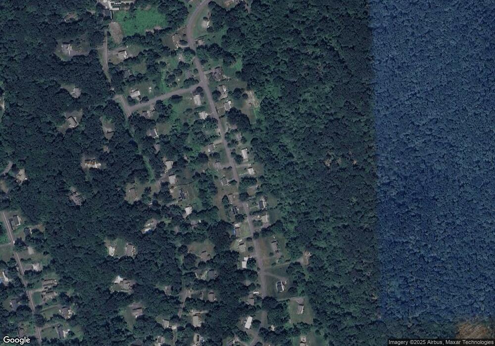
Map
Nearby Homes
- 197 Carmen Hill Rd
- 35 Mist Hill Dr
- 20 Polaris Dr
- 6 Red Cedar Dr
- 5 Mountain Dr
- 55 Carmen Hill Rd
- 17 Haviland Rd
- 17 Lakewood Terrace
- 2 Meadow Ln
- 7 Eagle Dr
- 107 Carmen Hill Rd
- 26 Birch Ln
- 1 Old Middle Rd
- 77 Old Middle Rd
- 595 Candlewood Lake Rd
- 45 Indian Trail
- 45 Old Pumpkin Hill Rd
- 44 N Mountain Rd
- 12 Cedar Vale Dr
- 45 N Mountain Rd