27 Ox Ridge Ln Darien, CT 06820
Estimated Value: $3,721,000 - $4,267,344
Studio
4
Baths
--
Sq Ft
3.31
Acres
About This Home
This home is located at 27 Ox Ridge Ln, Darien, CT 06820 and is currently estimated at $3,889,836. 27 Ox Ridge Ln is a home located in Fairfield County with nearby schools including Ox Ridge Elementary School, Middlesex Middle School, and Darien High School.
Ownership History
Date
Name
Owned For
Owner Type
Purchase Details
Closed on
Nov 9, 1995
Sold by
Grazini Robert and Grazini Susan
Bought by
Hobbs Steven and Hobbs Elizabeth
Current Estimated Value
Home Financials for this Owner
Home Financials are based on the most recent Mortgage that was taken out on this home.
Original Mortgage
$636,000
Outstanding Balance
$8,922
Interest Rate
7.63%
Mortgage Type
Unknown
Estimated Equity
$3,880,914
Purchase Details
Closed on
May 20, 1991
Sold by
Duft James and Duft Kartrina
Bought by
Graziani Roberto and Graziani Susan
Home Financials for this Owner
Home Financials are based on the most recent Mortgage that was taken out on this home.
Original Mortgage
$450,000
Interest Rate
9.4%
Mortgage Type
Unknown
Create a Home Valuation Report for This Property
The Home Valuation Report is an in-depth analysis detailing your home's value as well as a comparison with similar homes in the area
Home Values in the Area
Average Home Value in this Area
Purchase History
| Date | Buyer | Sale Price | Title Company |
|---|---|---|---|
| Hobbs Steven | $796,000 | -- | |
| Graziani Roberto | $700,000 | -- |
Source: Public Records
Mortgage History
| Date | Status | Borrower | Loan Amount |
|---|---|---|---|
| Open | Graziani Roberto | $636,000 | |
| Previous Owner | Graziani Roberto | $450,000 |
Source: Public Records
Tax History Compared to Growth
Tax History
| Year | Tax Paid | Tax Assessment Tax Assessment Total Assessment is a certain percentage of the fair market value that is determined by local assessors to be the total taxable value of land and additions on the property. | Land | Improvement |
|---|---|---|---|---|
| 2025 | $36,621 | $2,365,720 | $1,464,890 | $900,830 |
| 2024 | $34,752 | $2,365,720 | $1,464,890 | $900,830 |
| 2023 | $28,489 | $1,617,770 | $976,570 | $641,200 |
| 2022 | $27,874 | $1,617,770 | $976,570 | $641,200 |
| 2021 | $27,243 | $1,617,770 | $976,570 | $641,200 |
| 2020 | $26,467 | $1,617,770 | $976,570 | $641,200 |
| 2019 | $26,645 | $1,617,770 | $976,570 | $641,200 |
| 2018 | $30,020 | $1,866,900 | $1,046,360 | $820,540 |
| 2017 | $30,169 | $1,866,900 | $1,046,360 | $820,540 |
| 2016 | $29,441 | $1,866,900 | $1,046,360 | $820,540 |
| 2015 | $28,657 | $1,866,900 | $1,046,360 | $820,540 |
| 2014 | $28,022 | $1,866,900 | $1,046,360 | $820,540 |
Source: Public Records
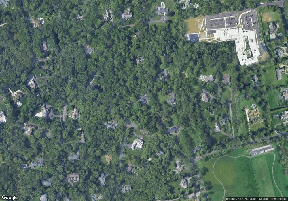
Map
Nearby Homes
- 561 Middlesex Rd
- 109 Stephen Mather Rd
- 85 Stephen Mather Rd
- 358 Hoyt St
- 20 Marianne Rd
- 95 Columbus Place Unit 6
- 7 Tommys Ln
- 39 Woodway Rd Unit C7
- 19 Woodway Rd Unit 14
- 201 W Norwalk Rd
- 85 Camp Ave Unit 10I
- 175 W Norwalk Rd
- 17 Oenoke Place
- 1230 Hope St Unit 7
- 139 Jelliff Mill Rd
- 223 Middlesex Rd
- 10 Stony Brook Rd
- 1157 Hope St
- 77 Putter Dr
- 970 Hope St Unit 4J
- 11 Ox Ridge Ln
- 36 Ox Ridge Ln
- 16 Ox Ridge Ln
- 37 Ox Ridge Ln
- 1 Ox Ridge Ln
- 31 Ox Ridge Ln
- 49 Ox Ridge Ln
- 18 Ox Ridge Ln
- 60 Blueberry Ln
- 6 Blueberry Ln
- 56 Blueberry Ln
- 9 Blueberry Ln
- 40 Hancock Ln
- 2 Ox Ridge Ln
- 20 Hancock Ln
- 569 Middlesex Rd
- 52 Blueberry Ln
- 10 Blueberry Ln
- 571 Middlesex Rd
- 573 Middlesex Rd