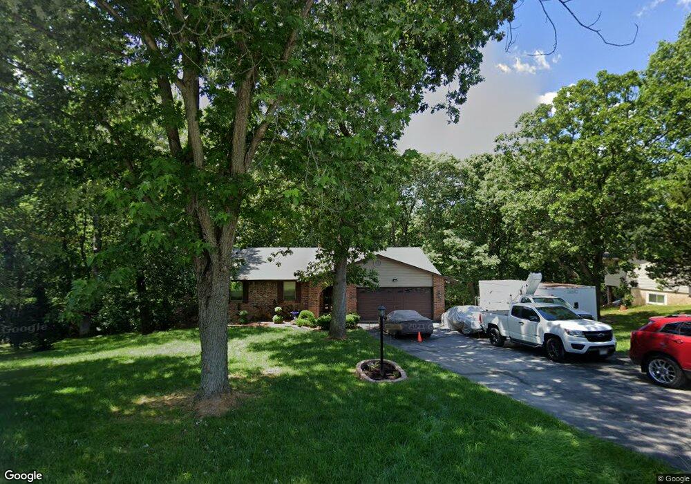
27 Ozark Ln Arnold, MO 63010
Estimated Value: $280,000 - $295,706
Studio
1
Bath
1,320
Sq Ft
$216/Sq Ft
Est. Value
About This Home
This home is located at 27 Ozark Ln, Arnold, MO 63010 and is currently estimated at $285,427, approximately $216 per square foot. 27 Ozark Ln is a home located in Jefferson County with nearby schools including Meramec Heights Elementary School, Ridgewood Middle School, and Seckman Senior High School.
Ownership History
Date
Name
Owned For
Owner Type
Purchase Details
Closed on
Jan 15, 2004
Sold by
Lapresta Bennie and Lapresta Edith Elizabeth
Bought by
Lohse Keith E and Lohse Mary J
Current Estimated Value
Purchase Details
Closed on
Jul 2, 2003
Sold by
Mehner Raymond R and Mehner Norma L
Bought by
Lohse Keith E and Lohse Mary J
Home Financials for this Owner
Home Financials are based on the most recent Mortgage that was taken out on this home.
Original Mortgage
$152,900
Interest Rate
5.24%
Mortgage Type
Purchase Money Mortgage
Create a Home Valuation Report for This Property
The Home Valuation Report is an in-depth analysis detailing your home's value as well as a comparison with similar homes in the area
Home Values in the Area
Average Home Value in this Area
Purchase History
| Date | Buyer | Sale Price | Title Company |
|---|---|---|---|
| Lohse Keith E | -- | Commonwealth Land Title | |
| Lohse Keith E | -- | Multiple |
Source: Public Records
Mortgage History
| Date | Status | Borrower | Loan Amount |
|---|---|---|---|
| Previous Owner | Lohse Keith E | $152,900 |
Source: Public Records
Tax History
| Year | Tax Paid | Tax Assessment Tax Assessment Total Assessment is a certain percentage of the fair market value that is determined by local assessors to be the total taxable value of land and additions on the property. | Land | Improvement |
|---|---|---|---|---|
| 2025 | $1,927 | $28,400 | $2,500 | $25,900 |
| 2024 | $1,927 | $26,300 | $2,500 | $23,800 |
| 2023 | $1,927 | $26,300 | $2,500 | $23,800 |
| 2022 | $1,930 | $26,300 | $2,500 | $23,800 |
| 2021 | $1,929 | $26,300 | $2,500 | $23,800 |
| 2020 | $1,831 | $23,500 | $2,100 | $21,400 |
| 2019 | $1,833 | $23,500 | $2,100 | $21,400 |
| 2018 | $1,827 | $23,500 | $2,100 | $21,400 |
| 2017 | $1,772 | $23,500 | $2,100 | $21,400 |
| 2016 | $1,606 | $21,400 | $2,300 | $19,100 |
| 2015 | $1,553 | $21,400 | $2,300 | $19,100 |
| 2013 | -- | $20,900 | $2,300 | $18,600 |
Source: Public Records
Map
Nearby Homes
- 12 Ozark Ln
- 3448 Helena Acres Dr
- 3450 Helena Acres Dr
- 5270 Jimmy Dr
- 3835 Miller Valley Dr
- 3700 Pioneer Dr
- 3179 Quiet Forest Dr
- 844 Konert Hill Dr
- 3847 Parkway Ln
- 1026 Konert Lake Dr
- 1018 Konert Lake Dr
- 3375 Old Sugar Creek Rd
- 2609 Jessica Trail
- 3512 E Rock Creek Rd
- 4183 Konder Dr
- 3735 Falcon View Dr
- 1017 Top Dr
- 0 Claystone Dr
- 2629 Winding Valley Dr
- 4581 Annandale Ave
Your Personal Tour Guide
Ask me questions while you tour the home.