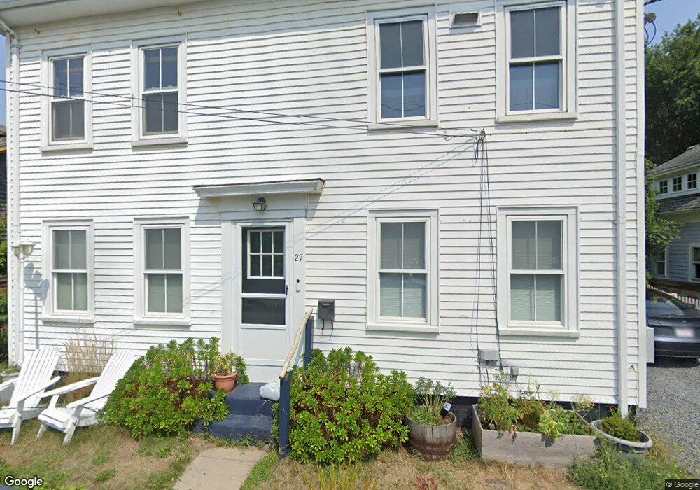
27 Pearl St Unit 1 & 2 Provincetown, MA 02657
Estimated Value: $1,632,000 - $2,117,000
4
Beds
2
Baths
1,720
Sq Ft
$1,122/Sq Ft
Est. Value
About This Home
This home is located at 27 Pearl St Unit 1 & 2, Provincetown, MA 02657 and is currently estimated at $1,929,359, approximately $1,121 per square foot. 27 Pearl St Unit 1 & 2 is a home located in Barnstable County with nearby schools including Provincetown Schools.
Ownership History
Date
Name
Owned For
Owner Type
Purchase Details
Closed on
Oct 27, 2023
Sold by
Stott Anne N
Bought by
Phelps Patrick H and Atherton Timothy J
Current Estimated Value
Home Financials for this Owner
Home Financials are based on the most recent Mortgage that was taken out on this home.
Original Mortgage
$1,346,250
Outstanding Balance
$1,318,854
Interest Rate
7.18%
Mortgage Type
Purchase Money Mortgage
Estimated Equity
$610,505
Purchase Details
Closed on
Dec 29, 2011
Sold by
Brownell Lawrence D and Brownell Elaine M
Bought by
Stott Anne N
Home Financials for this Owner
Home Financials are based on the most recent Mortgage that was taken out on this home.
Original Mortgage
$195,000
Interest Rate
4%
Mortgage Type
Purchase Money Mortgage
Create a Home Valuation Report for This Property
The Home Valuation Report is an in-depth analysis detailing your home's value as well as a comparison with similar homes in the area
Home Values in the Area
Average Home Value in this Area
Purchase History
| Date | Buyer | Sale Price | Title Company |
|---|---|---|---|
| Phelps Patrick H | $1,795,000 | None Available | |
| Phelps Patrick H | $1,795,000 | None Available | |
| Phelps Patrick H | $1,795,000 | None Available | |
| Phelps Patrick H | $1,795,000 | None Available | |
| Stott Anne N | $635,000 | -- | |
| Stott Anne N | $635,000 | -- | |
| Stott Anne N | $635,000 | -- | |
| Stott Anne N | $635,000 | -- |
Source: Public Records
Mortgage History
| Date | Status | Borrower | Loan Amount |
|---|---|---|---|
| Open | Phelps Patrick H | $1,346,250 | |
| Closed | Phelps Patrick H | $1,346,250 | |
| Previous Owner | Stott Anne N | $195,000 |
Source: Public Records
Tax History Compared to Growth
Tax History
| Year | Tax Paid | Tax Assessment Tax Assessment Total Assessment is a certain percentage of the fair market value that is determined by local assessors to be the total taxable value of land and additions on the property. | Land | Improvement |
|---|---|---|---|---|
| 2025 | $9,622 | $1,718,200 | $523,300 | $1,194,900 |
| 2024 | $8,911 | $1,597,000 | $498,700 | $1,098,300 |
| 2023 | $8,261 | $1,381,500 | $433,700 | $947,800 |
| 2022 | $7,684 | $1,153,700 | $405,400 | $748,300 |
| 2021 | $7,153 | $1,010,300 | $368,500 | $641,800 |
| 2020 | $6,475 | $978,100 | $368,500 | $609,600 |
| 2019 | $6,540 | $926,400 | $357,800 | $568,600 |
| 2018 | $5,982 | $803,000 | $352,400 | $450,600 |
| 2017 | $5,798 | $752,000 | $345,500 | $406,500 |
| 2016 | $5,972 | $765,600 | $372,700 | $392,900 |
| 2015 | $5,512 | $746,900 | $365,300 | $381,600 |
Source: Public Records
Map
Nearby Homes
- 167 Bradford St Unit B
- 37 Pearl St
- 36 Pearl St Unit 2
- 36 Pearl St Unit 3
- 404 Commercial St Unit 1
- 404 Commercial St Unit 2
- 15 Center St
- 184 Bradford St Unit 1
- 405 Commercial St Unit 5
- 4 Center St
- 5 Kiley Ct Unit 2
- 143 Bradford St Unit A
- 361b Commercial St Unit U3
- 441 Commercial St Unit B
- 33 Conwell St Unit 5B
- 16 Off Conwell St
- 351A Commercial St Unit A1
- 452 Commercial St Unit 3
- 27 Pearl St
- 25 Pearl St
- 29 Pearl St
- 0 Pearl St Unit B 2037857
- 0 Pearl St
- 164 Bradford St
- 162 Bradford St Unit 5
- 162 Bradford St Unit 3
- 162 Bradford St Unit 2
- 162 Bradford St Unit 1
- 162 Bradford St Unit 4
- 31 Pearl St
- 22 Pearl St Unit 5
- 22 Pearl St Unit 3
- 22 Pearl St Unit 2
- 22 Pearl St Unit 1
- 22 Pearl St Unit 1 & 3
- 22 Pearl St Unit 4
- 5 Pearl St
- 4 Pearl St