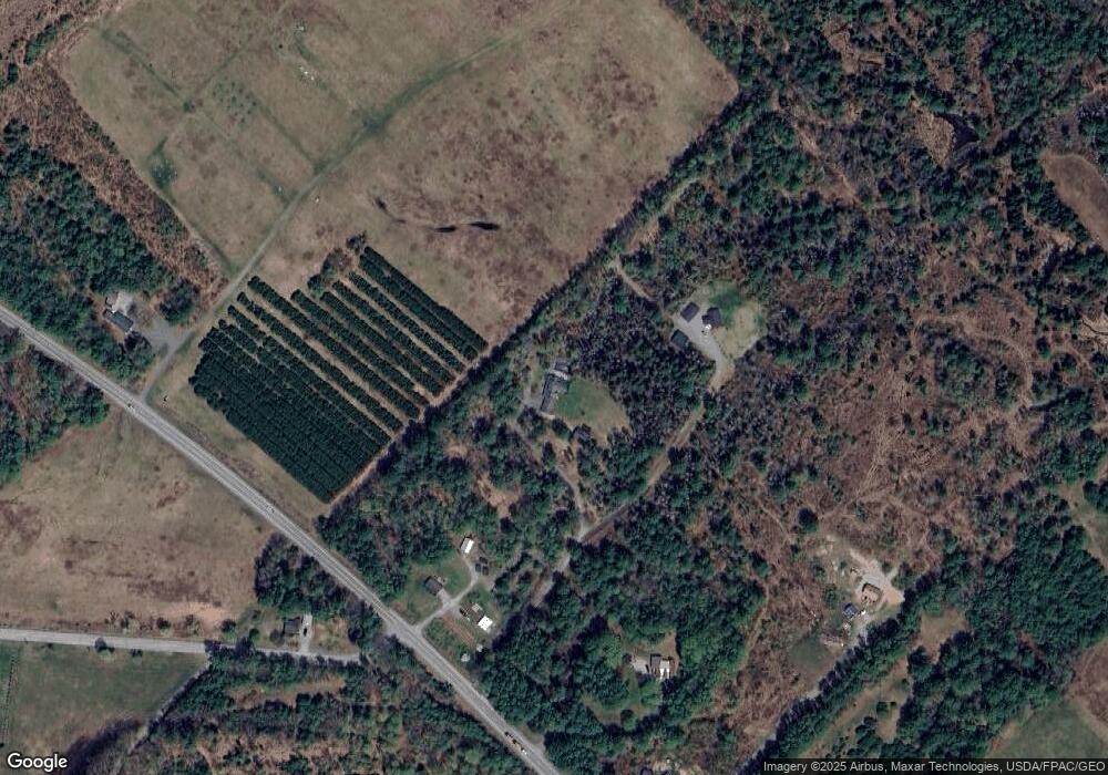
27 Pheasant Ln Norridgewock, ME 04957
Estimated Value: $293,000 - $398,485
3
Beds
3
Baths
2,512
Sq Ft
$140/Sq Ft
Est. Value
About This Home
This home is located at 27 Pheasant Ln, Norridgewock, ME 04957 and is currently estimated at $352,495, approximately $140 per square foot. 27 Pheasant Ln is a home with nearby schools including Riverview Memorial School.
Ownership History
Date
Name
Owned For
Owner Type
Purchase Details
Closed on
Jun 25, 2013
Sold by
Coffin Theresa V
Bought by
Gushee Duane A
Current Estimated Value
Create a Home Valuation Report for This Property
The Home Valuation Report is an in-depth analysis detailing your home's value as well as a comparison with similar homes in the area
Home Values in the Area
Average Home Value in this Area
Purchase History
| Date | Buyer | Sale Price | Title Company |
|---|---|---|---|
| Gushee Duane A | -- | -- | |
| Gushee Duane A | -- | -- |
Source: Public Records
Tax History Compared to Growth
Tax History
| Year | Tax Paid | Tax Assessment Tax Assessment Total Assessment is a certain percentage of the fair market value that is determined by local assessors to be the total taxable value of land and additions on the property. | Land | Improvement |
|---|---|---|---|---|
| 2025 | $2,972 | $351,700 | $57,800 | $293,900 |
| 2024 | $2,868 | $277,100 | $47,300 | $229,800 |
| 2023 | $2,807 | $231,000 | $39,400 | $191,600 |
| 2022 | $2,440 | $209,400 | $35,800 | $173,600 |
| 2021 | $2,775 | $209,400 | $35,800 | $173,600 |
| 2020 | $2,775 | $209,400 | $35,800 | $173,600 |
| 2019 | $2,827 | $209,400 | $35,800 | $173,600 |
| 2018 | $2,827 | $209,400 | $35,800 | $173,600 |
| 2017 | $2,816 | $209,400 | $35,800 | $173,600 |
| 2016 | $1,933 | $91,200 | $11,600 | $79,600 |
| 2015 | $1,952 | $91,200 | $11,600 | $79,600 |
| 2014 | $1,938 | $91,200 | $11,600 | $79,600 |
Source: Public Records
Map
Nearby Homes
- M5 L38 Winding Hill Rd
- Lot 2-1 Father Rasle Rd
- P/O M2 L31 Walker Rd
- 88 Childs Rd
- 57 Deer Run Rd
- 83 Preble Ave
- 257 Sandy River Rd
- 0000 Winter St
- 11 Ash St
- 6 Myrtle St
- 24 Locust St
- 11 Madison Rd
- Lot 86 Maxim St
- 23 Pleasant Hill Dr
- 735 Sandy River Rd
- 43 Doane Rd
- 62 Old Point Ave
- 43 Russell Rd
- M19 L57-58 Old Point Ave
- 12 Jones St
- 691 Madison Rd
- Lot 1 Rte 201 A - Father Rasle Rd
- 675 Madison Rd
- Lot 3 Father Rasle Rd
- 3 Lots Father Rasle Rd
- Lot 1-2 Father Rasle Rd
- 13 Father Rasle Rd
- 659 Madison Rd
- 663 Madison Rd
- 727 Madison Rd
- 637 Madison Rd
- Lot 1 Father Rasle - Route 201a
- 641 Madison Rd
- 46 Father Rasle Rd
- 20 Father Rasle Rd
- 50 Father Rasle Rd
- 00 Madison Rd
- M2 L10 Madison Rd
- 629 Madison Rd
- 00 Father Rasle Rd
