27 Pill Hill Ln Duxbury, MA 02332
South Duxbury NeighborhoodEstimated Value: $2,006,000 - $4,175,874
4
Beds
5
Baths
2,600
Sq Ft
$1,189/Sq Ft
Est. Value
About This Home
This home is located at 27 Pill Hill Ln, Duxbury, MA 02332 and is currently estimated at $3,090,937, approximately $1,188 per square foot. 27 Pill Hill Ln is a home located in Plymouth County with nearby schools including Chandler Elementary School, Alden School, and Duxbury Middle School.
Ownership History
Date
Name
Owned For
Owner Type
Purchase Details
Closed on
Jul 26, 1996
Sold by
Est Post James O and Ranney Victoria P
Bought by
Greenbaum Donald R and Greenbaum Dorian G
Current Estimated Value
Home Financials for this Owner
Home Financials are based on the most recent Mortgage that was taken out on this home.
Original Mortgage
$400,000
Outstanding Balance
$32,070
Interest Rate
8.37%
Mortgage Type
Purchase Money Mortgage
Estimated Equity
$3,058,867
Create a Home Valuation Report for This Property
The Home Valuation Report is an in-depth analysis detailing your home's value as well as a comparison with similar homes in the area
Home Values in the Area
Average Home Value in this Area
Purchase History
| Date | Buyer | Sale Price | Title Company |
|---|---|---|---|
| Greenbaum Donald R | $650,000 | -- |
Source: Public Records
Mortgage History
| Date | Status | Borrower | Loan Amount |
|---|---|---|---|
| Open | Greenbaum Donald R | $400,000 |
Source: Public Records
Tax History Compared to Growth
Tax History
| Year | Tax Paid | Tax Assessment Tax Assessment Total Assessment is a certain percentage of the fair market value that is determined by local assessors to be the total taxable value of land and additions on the property. | Land | Improvement |
|---|---|---|---|---|
| 2025 | $41,749 | $4,117,300 | $2,828,000 | $1,289,300 |
| 2024 | $36,727 | $3,650,800 | $2,423,500 | $1,227,300 |
| 2023 | $35,352 | $3,307,000 | $2,100,000 | $1,207,000 |
| 2022 | $34,827 | $2,712,400 | $1,619,700 | $1,092,700 |
| 2021 | $34,668 | $2,394,200 | $1,350,400 | $1,043,800 |
| 2020 | $33,378 | $2,276,800 | $1,208,300 | $1,068,500 |
| 2019 | $33,114 | $2,255,700 | $1,174,800 | $1,080,900 |
| 2018 | $31,110 | $2,052,100 | $1,034,100 | $1,018,000 |
| 2017 | $30,017 | $1,935,300 | $971,100 | $964,200 |
| 2016 | $28,995 | $1,864,600 | $890,700 | $973,900 |
| 2015 | $28,968 | $1,856,900 | $873,300 | $983,600 |
Source: Public Records
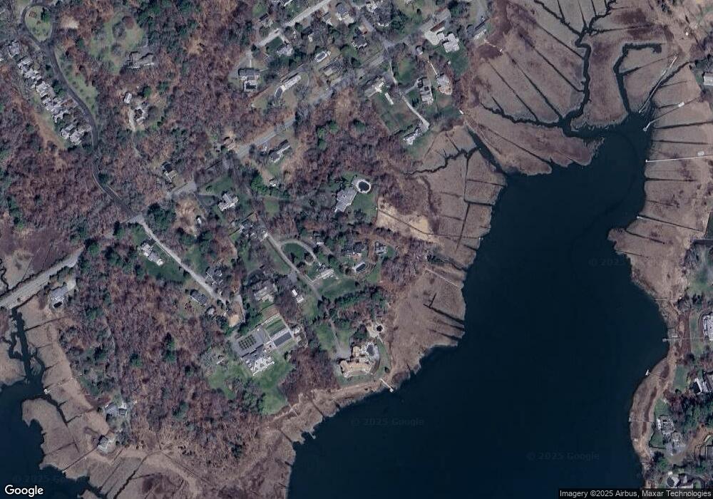
Map
Nearby Homes
- 104 Standish St
- 10 Summerhouse Ln
- 0 Standish St
- 65 Myles View Dr
- 68 Depot St
- 54 Marshall St
- 59 Priscilla Ave
- 117 Soule Ave
- 8 Eagles Nest Rd
- 66 Seabury Point Rd
- 6 Priscilla Rd
- 100 Patten Ln
- 124 Evergreen St
- 157 Washington St
- 20 Possum Run
- 30 Cushing Dr
- 375 Marshall St
- 19 Flint Locke Dr
- 20 Island Creek Rd
- 260 Washington St