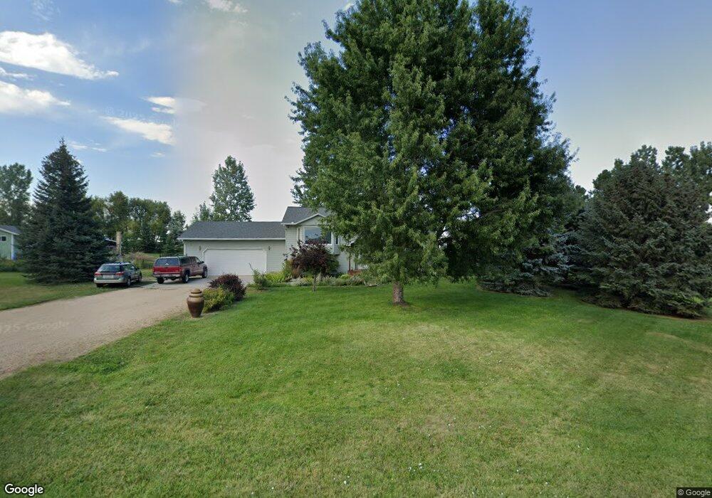
27 Piper Rd Sheridan, WY 82801
Estimated Value: $537,000 - $574,247
4
Beds
3
Baths
1,114
Sq Ft
$502/Sq Ft
Est. Value
About This Home
This home is located at 27 Piper Rd, Sheridan, WY 82801 and is currently estimated at $559,416, approximately $502 per square foot. 27 Piper Rd is a home with nearby schools including Sheridan High School.
Ownership History
Date
Name
Owned For
Owner Type
Purchase Details
Closed on
Jul 26, 2005
Sold by
Primacy Closing Corp
Bought by
Dugal Rodolph E and Dugal Dimitra C
Current Estimated Value
Home Financials for this Owner
Home Financials are based on the most recent Mortgage that was taken out on this home.
Original Mortgage
$175,000
Outstanding Balance
$91,871
Interest Rate
5.65%
Mortgage Type
New Conventional
Estimated Equity
$467,545
Create a Home Valuation Report for This Property
The Home Valuation Report is an in-depth analysis detailing your home's value as well as a comparison with similar homes in the area
Home Values in the Area
Average Home Value in this Area
Purchase History
| Date | Buyer | Sale Price | Title Company |
|---|---|---|---|
| Dugal Rodolph E | -- | None Available |
Source: Public Records
Mortgage History
| Date | Status | Borrower | Loan Amount |
|---|---|---|---|
| Open | Dugal Rodolph E | $175,000 |
Source: Public Records
Tax History Compared to Growth
Tax History
| Year | Tax Paid | Tax Assessment Tax Assessment Total Assessment is a certain percentage of the fair market value that is determined by local assessors to be the total taxable value of land and additions on the property. | Land | Improvement |
|---|---|---|---|---|
| 2025 | $2,909 | $34,186 | $12,325 | $21,861 |
| 2024 | $2,909 | $43,750 | $16,433 | $27,317 |
| 2023 | $2,919 | $43,893 | $15,292 | $28,601 |
| 2022 | $2,643 | $39,738 | $12,553 | $27,185 |
| 2021 | $2,232 | $33,571 | $10,613 | $22,958 |
| 2020 | $2,097 | $31,528 | $8,559 | $22,969 |
| 2019 | $2,014 | $30,288 | $8,559 | $21,729 |
| 2018 | $2,097 | $31,540 | $7,988 | $23,552 |
| 2017 | $2,087 | $31,376 | $7,760 | $23,616 |
| 2015 | $2,024 | $30,437 | $6,034 | $24,403 |
| 2014 | $2,008 | $30,192 | $6,034 | $24,158 |
| 2013 | -- | $29,583 | $6,034 | $23,549 |
Source: Public Records
Map
Nearby Homes
- 18 Cessna Rd
- 18 Convair Rd
- 11 Piccard Rd
- TDB Piccard St Unit Lot 23
- TBD Convair Rd Unit Lot 46
- TBD Convair Rd Unit Lot 44
- TBD Convair Rd Unit Lot 42
- TBD Piccard Rd Unit Lot 31
- TBD Piccard Rd Unit Lot 29
- TBD Piccard Rd Unit Lot 27
- TBD Piccard Rd Unit Lot 26
- TBD Piccard Rd Unit Lot 24
- TBD Piccard Rd Unit Lot 19
- TBD Piccard Rd Unit Lot 15
- TBD Piccard Rd Unit Lot 22
- TBD Piccard Rd Unit Lot 21
- TBD Piccard Rd Unit Lot 25
- TBD Upper Rd
- 31 Mountain Brook Dr
- 1 Crystal Creek Dr