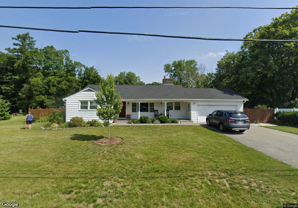
27 Pomeroy St Wilbraham, MA 01095
Estimated Value: $433,134 - $486,000
3
Beds
2
Baths
1,735
Sq Ft
$265/Sq Ft
Est. Value
About This Home
This home is located at 27 Pomeroy St, Wilbraham, MA 01095 and is currently estimated at $460,534, approximately $265 per square foot. 27 Pomeroy St is a home located in Hampden County with nearby schools including Minnechaug Regional High School, Springfield International Charter School, and Wilbraham & Monson Academy.
Ownership History
Date
Name
Owned For
Owner Type
Purchase Details
Closed on
Oct 18, 2013
Sold by
Tinkbuzz Llc
Bought by
Woodman Jeffrey D and Woodman Cathleen M
Current Estimated Value
Purchase Details
Closed on
Jan 23, 2013
Sold by
Pomeroy Street Llc
Bought by
Tinkbuzz Llc
Purchase Details
Closed on
Jul 2, 2007
Sold by
Robinson Glenn H and Robinson Gregg A
Bought by
Pomeroy Street Llc
Purchase Details
Closed on
Jun 18, 2003
Sold by
Robinson George H and Cutting Valeta B
Bought by
Robinson George H and Robinson Glenn H
Create a Home Valuation Report for This Property
The Home Valuation Report is an in-depth analysis detailing your home's value as well as a comparison with similar homes in the area
Home Values in the Area
Average Home Value in this Area
Purchase History
| Date | Buyer | Sale Price | Title Company |
|---|---|---|---|
| Woodman Jeffrey D | $233,000 | -- | |
| Tinkbuzz Llc | $54,248 | -- | |
| Pomeroy Street Llc | -- | -- | |
| Robinson George H | -- | -- |
Source: Public Records
Tax History Compared to Growth
Tax History
| Year | Tax Paid | Tax Assessment Tax Assessment Total Assessment is a certain percentage of the fair market value that is determined by local assessors to be the total taxable value of land and additions on the property. | Land | Improvement |
|---|---|---|---|---|
| 2025 | $6,753 | $377,700 | $82,100 | $295,600 |
| 2024 | $6,582 | $355,800 | $82,100 | $273,700 |
| 2023 | $6,137 | $328,200 | $82,100 | $246,100 |
| 2022 | $5,745 | $280,400 | $82,100 | $198,300 |
| 2021 | $5,322 | $231,800 | $85,000 | $146,800 |
| 2020 | $5,188 | $231,800 | $85,000 | $146,800 |
| 2019 | $5,053 | $231,800 | $85,000 | $146,800 |
| 2018 | $4,732 | $209,000 | $85,000 | $124,000 |
| 2017 | $4,598 | $209,000 | $85,000 | $124,000 |
| 2016 | $4,519 | $209,200 | $90,500 | $118,700 |
| 2015 | $4,368 | $209,200 | $90,500 | $118,700 |
Source: Public Records
Map
Nearby Homes
- 68 Monson Rd
- 8 Patriot Ridge Ln
- 2 Bayberry Dr Unit 51
- 6 Hilltop Park
- 760 Stony Hill Rd
- 767 Stony Hill Rd
- 763 Stony Hill Rd
- 1028 Tinkham Rd
- 28 Decorie Dr
- 14 Brookdale Dr
- 12 Highridge Rd
- 5 Edgewood Rd
- 474 Mountain Rd
- 751 Ridge Rd
- 6 Katie St
- 500 Springfield St
- 17 Peak Rd
- 11 Wellfleet Dr
- 69 High Pine Cir
- 474-480 Mountain Rd