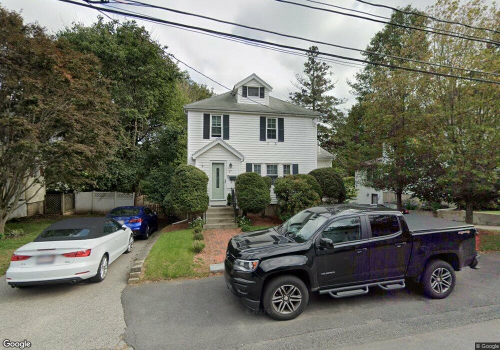
27 Porter Rd Waltham, MA 02452
North Waltham NeighborhoodEstimated Value: $704,000 - $862,000
3
Beds
1
Bath
1,450
Sq Ft
$541/Sq Ft
Est. Value
About This Home
This home is located at 27 Porter Rd, Waltham, MA 02452 and is currently estimated at $783,909, approximately $540 per square foot. 27 Porter Rd is a home located in Middlesex County with nearby schools including Northeast Elementary School, John F Kennedy Middle School, and Waltham Sr High School.
Ownership History
Date
Name
Owned For
Owner Type
Purchase Details
Closed on
Jul 24, 1995
Sold by
Linfield Marjorie L
Bought by
Weaver Jeffrey T
Current Estimated Value
Home Financials for this Owner
Home Financials are based on the most recent Mortgage that was taken out on this home.
Original Mortgage
$147,250
Interest Rate
7.49%
Mortgage Type
Purchase Money Mortgage
Create a Home Valuation Report for This Property
The Home Valuation Report is an in-depth analysis detailing your home's value as well as a comparison with similar homes in the area
Home Values in the Area
Average Home Value in this Area
Purchase History
| Date | Buyer | Sale Price | Title Company |
|---|---|---|---|
| Weaver Jeffrey T | $155,000 | -- |
Source: Public Records
Mortgage History
| Date | Status | Borrower | Loan Amount |
|---|---|---|---|
| Open | Weaver Jeffrey T | $255,000 | |
| Closed | Weaver Jeffrey T | $143,600 | |
| Closed | Weaver Jeffrey T | $147,250 |
Source: Public Records
Tax History Compared to Growth
Tax History
| Year | Tax Paid | Tax Assessment Tax Assessment Total Assessment is a certain percentage of the fair market value that is determined by local assessors to be the total taxable value of land and additions on the property. | Land | Improvement |
|---|---|---|---|---|
| 2025 | $6,340 | $645,600 | $415,400 | $230,200 |
| 2024 | $6,011 | $623,500 | $396,000 | $227,500 |
| 2023 | $5,840 | $565,900 | $360,000 | $205,900 |
| 2022 | $6,186 | $555,300 | $352,800 | $202,500 |
| 2021 | $6,005 | $530,500 | $338,400 | $192,100 |
| 2020 | $5,986 | $500,900 | $316,800 | $184,100 |
| 2019 | $5,593 | $441,800 | $303,300 | $138,500 |
| 2018 | $5,144 | $407,900 | $280,800 | $127,100 |
| 2017 | $4,807 | $382,700 | $255,600 | $127,100 |
| 2016 | $4,552 | $371,900 | $244,800 | $127,100 |
| 2015 | $4,548 | $346,400 | $219,600 | $126,800 |
Source: Public Records
Map
Nearby Homes
- 45 Chase Rd
- 38 Van Vechten St
- 100 Shirley Rd
- 26 Brookfield Rd
- 9 Stanley Rd
- 51 S Cottage Rd Unit 112
- 70 Rosewood Dr
- 116 Raffaele Dr
- 55 Circle Dr
- 36 Hollace St
- 50 Moraine St
- 23 Wight St
- 266 Linden St
- 51 Harrington St Unit 51
- 51 Harrington St Unit 53
- 236 Sycamore St
- 253 Sycamore St Unit 253
- 34 Cedar Hill Ln
- 1 Bridgham Ave
- 65 Woburn St