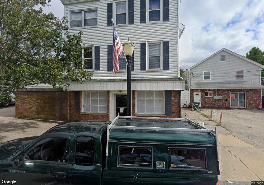
27 Railroad Ave Westerly, RI 02891
6
Beds
2
Baths
6,126
Sq Ft
6,752
Sq Ft Lot
About This Home
This home is located at 27 Railroad Ave, Westerly, RI 02891. 27 Railroad Ave is a home located in Washington County with nearby schools including Westerly High School and St. Michael School.
Ownership History
Date
Name
Owned For
Owner Type
Purchase Details
Closed on
Sep 21, 2018
Sold by
Vitterito Sandra
Bought by
35 Railroad Avenue Llc
Purchase Details
Closed on
Jan 30, 2008
Sold by
Vitterito Paul A and Salvatore-Vitterito John
Bought by
35 Railroad Avenue
Home Financials for this Owner
Home Financials are based on the most recent Mortgage that was taken out on this home.
Original Mortgage
$1,300,000
Interest Rate
6.18%
Mortgage Type
Commercial
Create a Home Valuation Report for This Property
The Home Valuation Report is an in-depth analysis detailing your home's value as well as a comparison with similar homes in the area
Home Values in the Area
Average Home Value in this Area
Purchase History
| Date | Buyer | Sale Price | Title Company |
|---|---|---|---|
| 35 Railroad Avenue Llc | $100,000 | -- | |
| 35 Railroad Avenue Llc | $100,000 | -- | |
| Woycik Jennifer | -- | -- | |
| Vitterito Joseph A | -- | -- | |
| Vitterito Joseph A | -- | -- | |
| 35 Railroad Avenue | $475,000 | -- |
Source: Public Records
Mortgage History
| Date | Status | Borrower | Loan Amount |
|---|---|---|---|
| Previous Owner | 35 Railroad Avenue | $477,000 | |
| Previous Owner | 35 Railroad Avenue | $501,000 | |
| Previous Owner | 35 Railroad Avenue | $1,300,000 |
Source: Public Records
Tax History
| Year | Tax Paid | Tax Assessment Tax Assessment Total Assessment is a certain percentage of the fair market value that is determined by local assessors to be the total taxable value of land and additions on the property. | Land | Improvement |
|---|---|---|---|---|
| 2025 | $7,133 | $916,800 | $108,900 | $807,900 |
| 2024 | $6,837 | $654,300 | $99,300 | $555,000 |
| 2023 | $6,648 | $654,300 | $99,300 | $555,000 |
| 2022 | $6,608 | $654,300 | $99,300 | $555,000 |
| 2021 | $7,937 | $658,100 | $94,600 | $563,500 |
| 2020 | $7,798 | $658,100 | $94,600 | $563,500 |
| 2019 | $7,726 | $658,100 | $94,600 | $563,500 |
| 2018 | $8,161 | $670,000 | $91,800 | $578,200 |
| 2017 | $8,047 | $670,600 | $91,800 | $578,800 |
| 2016 | $8,047 | $670,600 | $91,800 | $578,800 |
| 2015 | $7,780 | $692,800 | $91,800 | $601,000 |
| 2014 | $7,655 | $692,800 | $91,800 | $601,000 |
Source: Public Records
Map
Nearby Homes
- 25 Railroad Ave
- 23 Railroad Ave
- 3 Alba Inn Rd
- 19 Railroad Ave
- 33 Railroad Ave Unit 1
- 5 Alba Inn Rd
- 0 Alba Inn Rd
- 35 Railroad Ave Unit A
- 2 Alba Inn Rd
- 1 Railroad Ave Unit 17
- 4 Alba Inn Rd
- 1 Alba Inn Rd Unit 4
- 1 Alba Inn Rd Unit 3
- 1 Alba Inn Rd Unit 2
- 1 Alba Inn Rd
- 1 Alba Inn Rd Unit 1
- 90 High St
- 24 Alba Inn Rd
- 15 Canal St
- 1 Dixon St
Your Personal Tour Guide
Ask me questions while you tour the home.