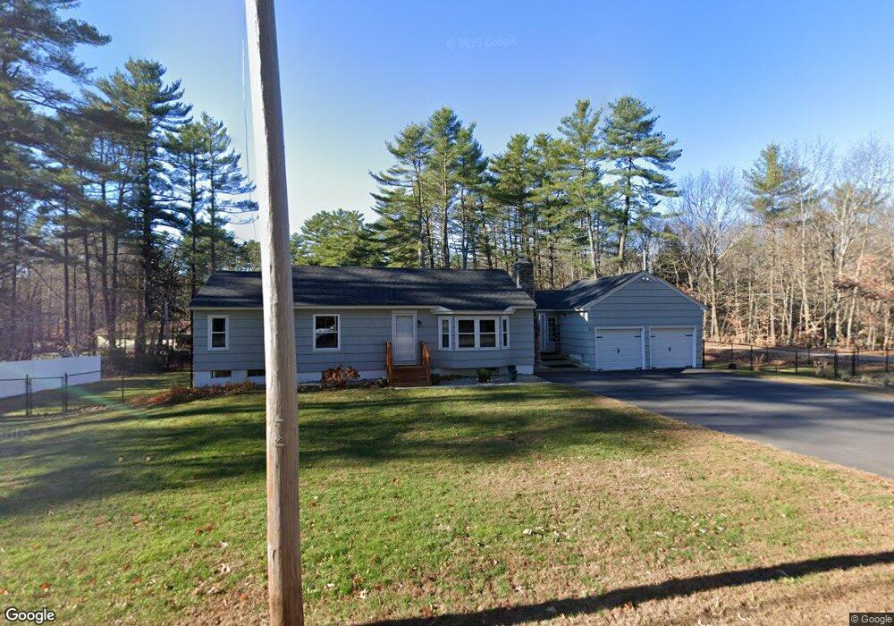
27 Raymond Cape Rd Raymond, ME 04071
Estimated Value: $791,000
3
Beds
3
Baths
1,306
Sq Ft
$606/Sq Ft
Est. Value
About This Home
This home is located at 27 Raymond Cape Rd, Raymond, ME 04071 and is currently priced at $791,000, approximately $605 per square foot. 27 Raymond Cape Rd is a home located in Cumberland County with nearby schools including Raymond Elementary School, Jordan-Small Middle School, and Windham High School.
Ownership History
Date
Name
Owned For
Owner Type
Purchase Details
Closed on
Nov 20, 2018
Sold by
Cox Denise T
Bought by
Jodake Llc
Current Estimated Value
Purchase Details
Closed on
Jul 11, 2008
Sold by
Bouwer Johannes L and Cox Robert H
Bought by
Cox Denise T
Home Financials for this Owner
Home Financials are based on the most recent Mortgage that was taken out on this home.
Original Mortgage
$183,900
Interest Rate
6.13%
Mortgage Type
VA
Create a Home Valuation Report for This Property
The Home Valuation Report is an in-depth analysis detailing your home's value as well as a comparison with similar homes in the area
Home Values in the Area
Average Home Value in this Area
Purchase History
| Date | Buyer | Sale Price | Title Company |
|---|---|---|---|
| Jodake Llc | -- | -- | |
| Cox Denise T | -- | -- |
Source: Public Records
Mortgage History
| Date | Status | Borrower | Loan Amount |
|---|---|---|---|
| Previous Owner | Cox Denise T | $183,900 |
Source: Public Records
Tax History Compared to Growth
Tax History
| Year | Tax Paid | Tax Assessment Tax Assessment Total Assessment is a certain percentage of the fair market value that is determined by local assessors to be the total taxable value of land and additions on the property. | Land | Improvement |
|---|---|---|---|---|
| 2024 | $2,886 | $167,800 | $33,300 | $134,500 |
| 2023 | $2,668 | $167,800 | $33,300 | $134,500 |
| 2022 | $2,517 | $167,800 | $33,300 | $134,500 |
| 2021 | $2,366 | $167,800 | $33,300 | $134,500 |
| 2019 | $2,027 | $150,700 | $33,300 | $117,400 |
| 2018 | $327 | $150,700 | $33,300 | $117,400 |
| 2017 | $1,854 | $150,700 | $33,300 | $117,400 |
| 2016 | $1,823 | $150,700 | $33,300 | $117,400 |
| 2015 | $1,801 | $150,700 | $33,300 | $117,400 |
| 2014 | $1,778 | $150,700 | $33,300 | $117,400 |
| 2013 | $1,695 | $150,700 | $33,300 | $117,400 |
Source: Public Records
Map
Nearby Homes
- 1569 Roosevelt Trail
- 17 Murray Dr
- 142 Lakewood Rd
- 89 Shaw Rd
- 854 Quaker Ridge Rd
- 34 Stoney Brook Rd
- 10 Woodland Trail
- 84 Watkins Shores Rd
- 58 Watkins Shores Rd
- 26 Andrews Dr
- 13 Brown Ave
- 17 Chute Mountain Ln
- Lot 19 Thomas Pond Shore Rd
- 26 Jamesport Rd
- 6 Williams Ln
- 42 Deerfield Ln
- 261 Point Sebago Rd Unit 381
- 261 Point Sebago Rd Unit S0360
- 261 Point Sebago Rd Unit S0344
- 261 Point Sebago Rd Unit S0343
- Lot 27 Cape Rd
- 27 Cape Rd
- 29 Raymond Cape Rd
- Lot 028 Cape Rd
- 29 Cape Rd
- 23 Cape Rd
- 10 Murch Landing Rd
- 14 Hutchins Rd
- 9 Murch Landing Rd
- Lot 10 Raymond Cape Rd
- 30 Cape Rd
- 26 Raymond Cape Rd
- 26 Cape Rd
- 11 Alfred Mann Rd Unit 13
- 34 Cape Rd
- 17 Hutchins Rd
- 18 Murch Landing Rd
- 33R Murch Landing Rd
- 15 Hutchins Rd
- 34 Hutchins Rd