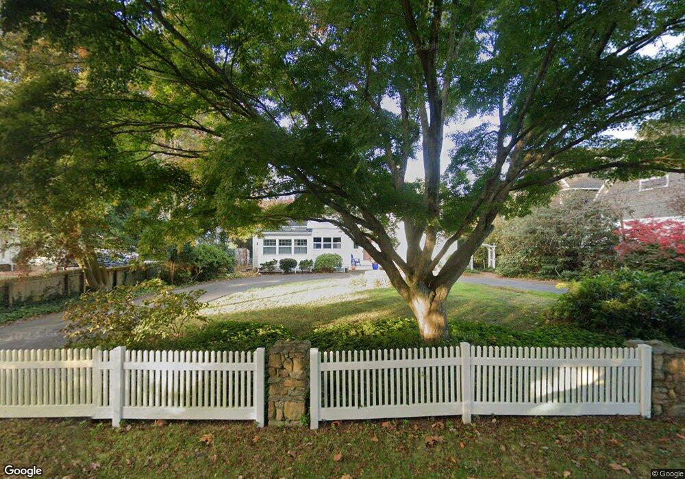
27 Riverside Dr Waterford, CT 06385
Estimated Value: $1,024,000 - $1,672,034
4
Beds
4
Baths
3,099
Sq Ft
$408/Sq Ft
Est. Value
About This Home
This home is located at 27 Riverside Dr, Waterford, CT 06385 and is currently estimated at $1,263,678, approximately $407 per square foot. 27 Riverside Dr is a home located in New London County with nearby schools including Clark Lane Middle School, Waterford High School, and Carelot Children's Center - East Lyme.
Ownership History
Date
Name
Owned For
Owner Type
Purchase Details
Closed on
Oct 11, 2022
Sold by
Lohrs Ft and Signore
Bought by
Carlson William C
Current Estimated Value
Purchase Details
Closed on
Jan 19, 2017
Sold by
Lohrs Eugene M and Lohrs Marilyn M
Bought by
Lohrs Eugene G and Lohrs Marilyn M
Purchase Details
Closed on
Nov 16, 1976
Bought by
Lohrs Eugene M and Lohrs Marilyn M
Create a Home Valuation Report for This Property
The Home Valuation Report is an in-depth analysis detailing your home's value as well as a comparison with similar homes in the area
Home Values in the Area
Average Home Value in this Area
Purchase History
| Date | Buyer | Sale Price | Title Company |
|---|---|---|---|
| Carlson William C | $1,325,000 | None Available | |
| Lohrs Eugene G | -- | -- | |
| Lohrs Eugene M | -- | -- |
Source: Public Records
Mortgage History
| Date | Status | Borrower | Loan Amount |
|---|---|---|---|
| Previous Owner | Lohrs Eugene M | $70,000 |
Source: Public Records
Tax History Compared to Growth
Tax History
| Year | Tax Paid | Tax Assessment Tax Assessment Total Assessment is a certain percentage of the fair market value that is determined by local assessors to be the total taxable value of land and additions on the property. | Land | Improvement |
|---|---|---|---|---|
| 2025 | $16,903 | $723,580 | $474,290 | $249,290 |
| 2024 | $16,011 | $717,980 | $474,290 | $243,690 |
| 2023 | $15,221 | $717,980 | $474,290 | $243,690 |
| 2022 | $12,699 | $460,780 | $278,590 | $182,190 |
| 2021 | $12,736 | $460,780 | $278,590 | $182,190 |
| 2020 | $12,842 | $460,780 | $278,590 | $182,190 |
| 2019 | $12,893 | $460,780 | $278,590 | $182,190 |
| 2018 | $12,635 | $460,780 | $278,590 | $182,190 |
| 2017 | $12,455 | $460,780 | $278,590 | $182,190 |
| 2016 | $12,340 | $460,780 | $278,590 | $182,190 |
| 2015 | $11,902 | $460,780 | $278,590 | $182,190 |
| 2014 | $11,863 | $460,780 | $278,590 | $182,190 |
Source: Public Records
Map
Nearby Homes
- 139 Oswegatchie Rd
- 163 Oswegatchie Rd
- 5 Wilcox Ct
- 6 Fulmore Dr
- 26 Fulmore Dr
- 5 Crabapple Ln
- 12 Josan Dr
- 5 Carlisle Ln
- 20 North Rd
- 9 Arrowhead Trail
- 398 Boston Post Rd
- 398 & 402 Boston Post Rd
- 10 S Ledge Rock Rd
- 127 Spithead Rd
- 9 Rock Ridge Rd
- 37 South St
- 267 Waterford Pkwy N
- 24 Stoneheights Dr
- 32 Stoneheights Dr Unit 32
- 50 Gurley Rd
- 25 Riverside Dr
- 29 Riverside Dr
- 26 Riverside Dr
- 23 Riverside Dr
- 28 & 29 Riverside Dr
- 21 Riverside Dr
- 32 Riverside Dr
- 33 Riverside Dr
- 115 Oswegatchie Rd
- 19 Riverside Dr
- 34 Riverside Dr
- 17 Riverside Dr
- 35 Riverside Dr
- 36 Riverside Dr
- 123 Oswegatchie Rd
- 18 Riverside Dr
- 120 Oswegatchie Rd
- 15 Riverside Dr
- 13 Riverside Dr
- 105 Oswegatchie Rd