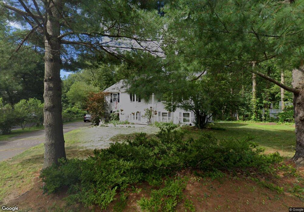
27 Riverside Rd Simsbury, CT 06070
Estimated Value: $439,949 - $468,000
3
Beds
3
Baths
1,420
Sq Ft
$323/Sq Ft
Est. Value
About This Home
This home is located at 27 Riverside Rd, Simsbury, CT 06070 and is currently estimated at $459,237, approximately $323 per square foot. 27 Riverside Rd is a home located in Hartford County with nearby schools including Tariffville School, Henry James Memorial School, and Simsbury High School.
Ownership History
Date
Name
Owned For
Owner Type
Purchase Details
Closed on
Aug 3, 1998
Sold by
Girard Tammy R
Bought by
Spurlock Brian C and Spurlock Candace J
Current Estimated Value
Purchase Details
Closed on
Mar 27, 1990
Sold by
Dgt Lp
Bought by
Bowden Franklyn
Purchase Details
Closed on
May 2, 1989
Sold by
United Bk & Tr
Bought by
Dgt Ltd
Purchase Details
Closed on
Apr 19, 1989
Sold by
Roberto William
Bought by
United Bk & Tr
Create a Home Valuation Report for This Property
The Home Valuation Report is an in-depth analysis detailing your home's value as well as a comparison with similar homes in the area
Home Values in the Area
Average Home Value in this Area
Purchase History
| Date | Buyer | Sale Price | Title Company |
|---|---|---|---|
| Spurlock Brian C | $155,000 | -- | |
| Spurlock Brian C | $155,000 | -- | |
| Bowden Franklyn | $185,000 | -- | |
| Dgt Ltd | $149,000 | -- | |
| United Bk & Tr | $148,000 | -- |
Source: Public Records
Mortgage History
| Date | Status | Borrower | Loan Amount |
|---|---|---|---|
| Open | United Bk & Tr | $50,000 | |
| Open | United Bk & Tr | $224,400 |
Source: Public Records
Tax History Compared to Growth
Tax History
| Year | Tax Paid | Tax Assessment Tax Assessment Total Assessment is a certain percentage of the fair market value that is determined by local assessors to be the total taxable value of land and additions on the property. | Land | Improvement |
|---|---|---|---|---|
| 2025 | $7,422 | $217,280 | $81,970 | $135,310 |
| 2024 | $7,238 | $217,280 | $81,970 | $135,310 |
| 2023 | $6,914 | $217,280 | $81,970 | $135,310 |
| 2022 | $6,925 | $179,270 | $88,970 | $90,300 |
| 2021 | $6,925 | $179,270 | $88,970 | $90,300 |
| 2020 | $6,649 | $179,270 | $88,970 | $90,300 |
| 2019 | $6,690 | $179,270 | $88,970 | $90,300 |
| 2018 | $6,739 | $179,270 | $88,970 | $90,300 |
| 2017 | $6,402 | $165,180 | $86,730 | $78,450 |
| 2016 | $6,131 | $165,180 | $86,730 | $78,450 |
| 2015 | $6,138 | $165,350 | $86,730 | $78,620 |
| 2014 | $6,141 | $165,350 | $86,730 | $78,620 |
Source: Public Records
Map
Nearby Homes
- 4 Stebbins Brook Ln
- 3 Stebbins Brook Ln
- 1 West St Unit 206
- 15 Pinnacle Mountain Rd
- 48 Library Ln Unit 48
- 40 Firetown Rd Unit 39
- 308 Hopmeadow St
- 15 Sand Hill Rd
- 3 Cobtail Way
- 16 Stratton Forest Way
- 9 Cobtail Way
- 24 Hunting Ridge Dr
- 25 Barry Ln
- 545 Simsbury Rd
- 10 Butternut Dr
- 5 Butternut Dr
- 2 Pent Rd
- 119 Wadhams Rd
- 8 Roberts Rd
- 24 Alice Dr Unit 24
- 24 Riverside Rd
- 28 Riverside Rd
- 25 Riverside Rd
- 22 Riverside Rd
- 21 Riverside Rd
- 23 Riverside Rd
- 31 Riverside Rd
- 20 Riverside Rd
- 34 Riverside Rd
- 33 Riverside Rd
- 29 Riverside Rd
- 16 Riverside Rd
- 35 Riverside Rd
- 19 Riverside Rd
- 15 Riverside Rd
- 14 Riverside Rd
- 12 Riverside Rd
- 10 Bradley Rd
- 40 Riverside Rd
- 9 Bradley Rd