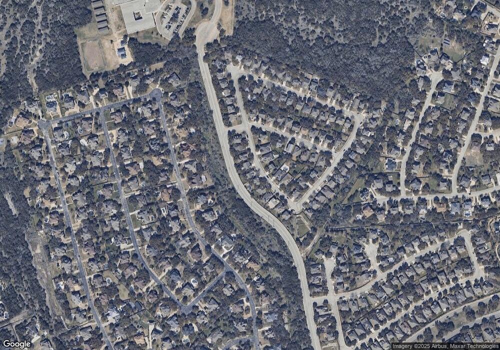
27 Roan Heights San Antonio, TX 78259
Cavalo NeighborhoodEstimated Value: $344,671 - $374,000
3
Beds
2
Baths
1,953
Sq Ft
$187/Sq Ft
Est. Value
About This Home
This home is located at 27 Roan Heights, San Antonio, TX 78259 and is currently estimated at $365,668, approximately $187 per square foot. 27 Roan Heights is a home located in Bexar County with nearby schools including Roan Forest Elementary School, Tejeda Middle School, and Johnson High School.
Ownership History
Date
Name
Owned For
Owner Type
Purchase Details
Closed on
Jan 15, 2010
Sold by
Commare Joseph N and Commare Patricia A
Bought by
Gilbert Sarah C
Current Estimated Value
Home Financials for this Owner
Home Financials are based on the most recent Mortgage that was taken out on this home.
Original Mortgage
$137,000
Outstanding Balance
$89,399
Interest Rate
4.83%
Mortgage Type
New Conventional
Estimated Equity
$276,269
Purchase Details
Closed on
Jun 3, 2002
Sold by
Medallion Ltd
Bought by
Commare Joseph N and Commare Patricia A
Home Financials for this Owner
Home Financials are based on the most recent Mortgage that was taken out on this home.
Original Mortgage
$95,900
Interest Rate
6.89%
Mortgage Type
Purchase Money Mortgage
Create a Home Valuation Report for This Property
The Home Valuation Report is an in-depth analysis detailing your home's value as well as a comparison with similar homes in the area
Home Values in the Area
Average Home Value in this Area
Purchase History
| Date | Buyer | Sale Price | Title Company |
|---|---|---|---|
| Gilbert Sarah C | -- | First American Title | |
| Commare Joseph N | -- | Marathon Title Company |
Source: Public Records
Mortgage History
| Date | Status | Borrower | Loan Amount |
|---|---|---|---|
| Open | Gilbert Sarah C | $137,000 | |
| Previous Owner | Commare Joseph N | $95,900 |
Source: Public Records
Tax History Compared to Growth
Tax History
| Year | Tax Paid | Tax Assessment Tax Assessment Total Assessment is a certain percentage of the fair market value that is determined by local assessors to be the total taxable value of land and additions on the property. | Land | Improvement |
|---|---|---|---|---|
| 2025 | $5,966 | $345,740 | $69,360 | $276,380 |
| 2024 | $5,966 | $339,325 | $69,360 | $278,660 |
| 2023 | $5,966 | $308,477 | $69,360 | $278,660 |
| 2022 | $6,920 | $280,434 | $60,300 | $265,150 |
| 2021 | $6,513 | $254,940 | $54,860 | $200,080 |
| 2020 | $6,339 | $244,420 | $54,860 | $189,560 |
| 2019 | $6,213 | $233,270 | $49,670 | $183,600 |
| 2018 | $6,334 | $237,220 | $49,670 | $187,550 |
| 2017 | $6,032 | $223,830 | $49,670 | $174,160 |
| 2016 | $5,929 | $220,000 | $49,670 | $170,330 |
| 2015 | $5,157 | $213,160 | $37,070 | $176,090 |
| 2014 | $5,157 | $194,480 | $0 | $0 |
Source: Public Records
Map
Nearby Homes
- 139 Impala Cir
- 131 Impala Cir
- 134 Gazelle Ct
- 8 Sable Forest
- 24 Sable Forest
- 22418 Roan Forest
- 22415 Roan Forest
- 22422 Sierra Blanca
- 3515 Edge View
- 2927 Winter Gorge
- 3007 Sable Creek
- 2902 Winter Gorge
- 3330 Edge View
- 21934 Ruby Run
- 2922 Kentucky Oaks
- 21930 Tower Terrace
- 2818 Winter Gorge
- 23126 Lexington Park
- 3526 Blackstone Run
- 23223 Treemont Park
- 23 Roan Heights
- 31 Roan Heights
- 35 Roan Heights
- 19 Roan Heights
- 28 Roan Heights
- 22 Roan Heights
- 39 Roan Heights
- 34 Roan Heights
- 15 Roan Heights
- 18 Roan Heights
- 43 Roan Heights
- 40 Roan Heights
- 11 Roan Heights
- 14 Roan Heights
- 126 Impala Cir
- 122 Impala Cir
- 9 Sable Forest
- 7 Roan Heights
- 3322 Sable Creek
- 3318 Sable Creek
