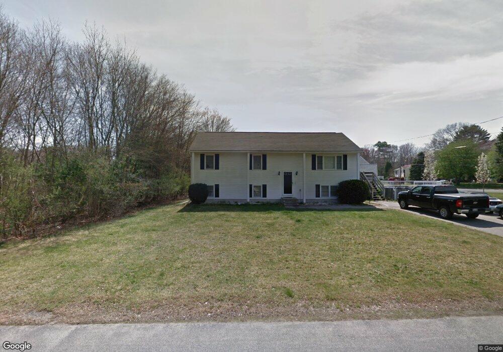
27 Ruth Ellen Rd Raynham, MA 02767
Raynham AreaEstimated Value: $586,000 - $714,000
About This Home
This home is located at 27 Ruth Ellen Rd, Raynham, MA 02767 and is currently estimated at $661,253, approximately $331 per square foot. 27 Ruth Ellen Rd is a home located in Bristol County with nearby schools including LaLiberte Elementary School, Williams Intermediate School, and Merrill Elementary School.
Ownership History
We collect this data history from publicly available records. To have your information removed, we recommend requesting removal directly through your county’s website.
Purchase Details
Home Values in the Area
Average Home Value in this Area
Purchase History
We collect this data history from publicly available records. To have your information removed, we recommend requesting removal directly through your county’s website.
| Date | Buyer | Sale Price | Title Company |
|---|---|---|---|
| $137,125 | -- |
Mortgage History
We collect this data history from publicly available records. To have your information removed, we recommend requesting removal directly through your county’s website.
| Date | Status | Borrower | Loan Amount |
|---|---|---|---|
| Open | $316,000 | ||
| Closed | $64,000 | ||
| Closed | $51,000 | ||
| Closed | $273,500 | ||
| Closed | $240,000 | ||
| Closed | $157,500 | ||
| Closed | $30,000 | ||
| Closed | $15,000 |
Tax History
We collect this data history from publicly available records. To have your information removed, we recommend requesting removal directly through your county’s website.
| Year | Tax Paid | Tax Assessment Tax Assessment Total Assessment is a certain percentage of the fair market value that is determined by local assessors to be the total taxable value of land and additions on the property. | Land | Improvement |
|---|---|---|---|---|
| 2025 | $6,858 | $566,800 | $215,900 | $350,900 |
| 2024 | $6,796 | $547,200 | $196,300 | $350,900 |
| 2023 | $6,543 | $481,100 | $176,600 | $304,500 |
| 2022 | $6,488 | $437,500 | $166,800 | $270,700 |
| 2021 | $5,331 | $417,500 | $157,000 | $260,500 |
| 2020 | $5,262 | $401,500 | $149,200 | $252,300 |
| 2019 | $5,089 | $391,700 | $139,400 | $252,300 |
| 2018 | $4,726 | $346,600 | $131,500 | $215,100 |
| 2017 | $4,837 | $321,800 | $125,600 | $196,200 |
| 2016 | $4,762 | $317,900 | $121,700 | $196,200 |
| 2015 | $4,048 | $265,600 | $126,300 | $139,300 |
Map
- 104 Jackson Dr
- 0 King St
- 98 Sherwood Ln
- 758 King St
- 74 Johnson St
- 35 May Ave
- 23 Meadow Brook Rd
- 75 White St
- 36 Carl Rd
- 728 S Main St
- 474 Orchard St
- 171 Buck Knoll Rd
- 258 Warren St W
- 130 Deer Hollow Trail
- 55 Judson St
- 75 Warren St W Unit 8
- 864 Locust St
- 346 Judson St
- 750 King Philip St
- 89 Stoneybrook Rd
Ask me questions while you tour the home.