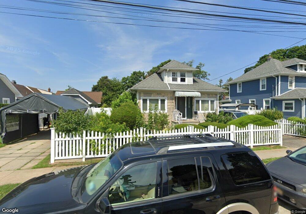
27 Rutland Rd Freeport, NY 11520
Estimated Value: $525,195 - $545,000
--
Bed
1
Bath
1,196
Sq Ft
$447/Sq Ft
Est. Value
About This Home
This home is located at 27 Rutland Rd, Freeport, NY 11520 and is currently estimated at $535,098, approximately $447 per square foot. 27 Rutland Rd is a home located in Nassau County with nearby schools including Columbus Avenue School, Caroline G. Atkinson Intermediate School, and John W Dodd Middle School.
Ownership History
Date
Name
Owned For
Owner Type
Purchase Details
Closed on
Aug 18, 2021
Sold by
Jackson Douglas and Hodge Ginger Lee
Bought by
Jackson Douglas
Current Estimated Value
Home Financials for this Owner
Home Financials are based on the most recent Mortgage that was taken out on this home.
Original Mortgage
$370,000
Interest Rate
2.8%
Mortgage Type
VA
Purchase Details
Closed on
Oct 3, 2020
Sold by
Jackson Douglas
Bought by
Jackson Douglas and Hodge Ginger Lee
Purchase Details
Closed on
Sep 10, 2008
Sold by
Jackson Douglas
Bought by
Jackson Douglas and Jackson Jean
Purchase Details
Closed on
Aug 11, 2008
Sold by
Jackson Douglas and Jackson Jean
Bought by
Jackson Douglas
Create a Home Valuation Report for This Property
The Home Valuation Report is an in-depth analysis detailing your home's value as well as a comparison with similar homes in the area
Home Values in the Area
Average Home Value in this Area
Purchase History
| Date | Buyer | Sale Price | Title Company |
|---|---|---|---|
| Jackson Douglas | -- | None Available | |
| Jackson Douglas | -- | None Available | |
| Jackson Douglas | -- | Standard Form Of New York | |
| Jackson Douglas | -- | Standard Form Of New York |
Source: Public Records
Mortgage History
| Date | Status | Borrower | Loan Amount |
|---|---|---|---|
| Closed | Jackson Douglas | $370,000 |
Source: Public Records
Tax History Compared to Growth
Tax History
| Year | Tax Paid | Tax Assessment Tax Assessment Total Assessment is a certain percentage of the fair market value that is determined by local assessors to be the total taxable value of land and additions on the property. | Land | Improvement |
|---|---|---|---|---|
| 2025 | $2,731 | $324 | $128 | $196 |
| 2024 | $169 | $330 | $130 | $200 |
| 2023 | $1,176 | $322 | $126 | $196 |
| 2022 | $1,176 | $330 | $130 | $200 |
| 2021 | $942 | $336 | $132 | $204 |
| 2020 | $276 | $393 | $276 | $117 |
| 2019 | $1,946 | $421 | $278 | $143 |
| 2018 | $2,188 | $449 | $0 | $0 |
| 2017 | $2,535 | $477 | $280 | $197 |
| 2016 | $2,667 | $505 | $253 | $252 |
| 2015 | $122 | $533 | $257 | $276 |
| 2014 | $122 | $533 | $257 | $276 |
| 2013 | $207 | $590 | $285 | $305 |
Source: Public Records
Map
Nearby Homes
- 26 Rosedale Ave
- 96 N Columbus Ave
- 98 N Columbus Ave
- 11 Mount Ave
- 182 Grand Ave
- 6 Frederick Ave
- 47 Harding Place
- 45 Lakeview Ave
- 251 Grand Ave
- 268 Grand Ave
- 70 S Main St Unit 307-PH
- 45 Dehnhoff Ave
- 221 E Dean St
- 78 Jesse St
- 67 E Dean St
- 70 N Grove St Unit 1R
- 101 Harris Ave
- 112 E Seaman Ave
- 173 E Seaman Ave
- 117 N Grove St
- 15 Rutland Rd
- 117 Commercial St
- 121 Commercial St
- 113 Commercial St
- 21 Rutland Rd
- 36 N Columbus Ave
- 111 Commercial St
- 42 N Columbus Ave
- 26 Rutland Rd
- 22 Rutland Rd
- 50 N Columbus Ave
- 30 Rutland Rd
- 30 N Columbus Ave
- 25 Rutland Rd
- 34 Rutland Rd
- 18 Rutland Rd
- 54 N Columbus Ave
- 38 Rutland Rd
- 120 Commercial St
- 122 Commercial St