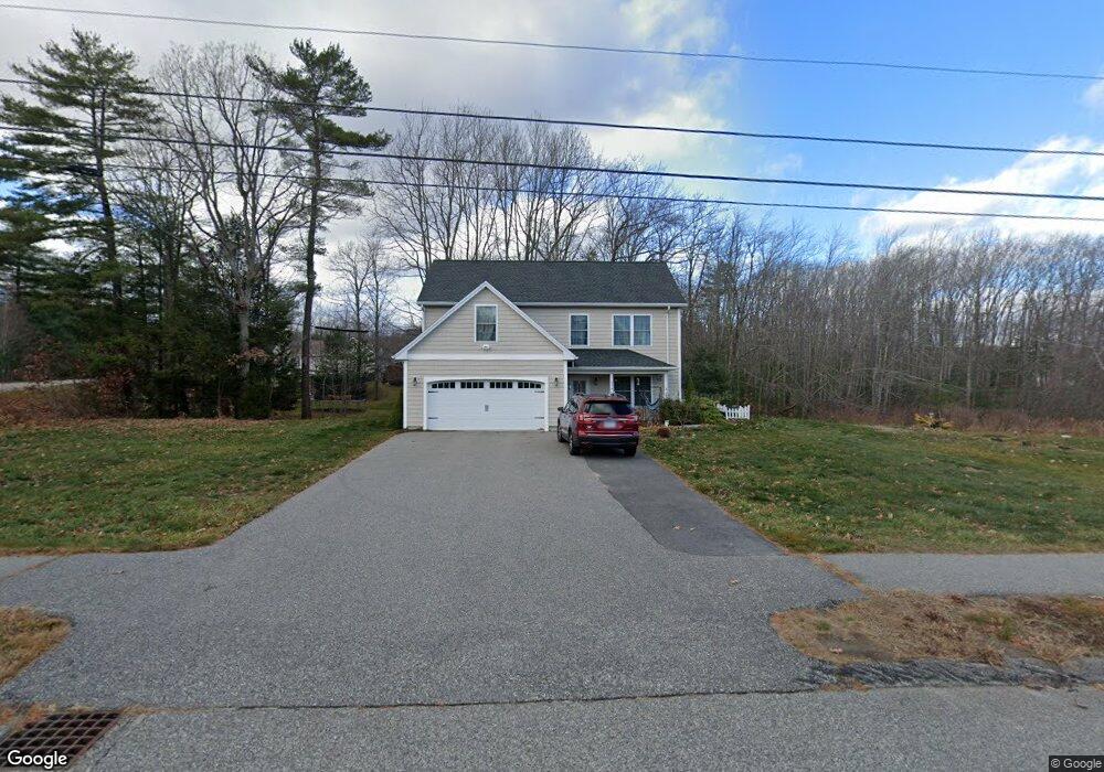
27 Sevigny Avenue (Lot #1) Biddeford, ME 04005
South Biddeford NeighborhoodEstimated Value: $625,594 - $773,000
3
Beds
3
Baths
1,801
Sq Ft
$379/Sq Ft
Est. Value
About This Home
This home is located at 27 Sevigny Avenue (Lot #1), Biddeford, ME 04005 and is currently estimated at $682,399, approximately $378 per square foot. 27 Sevigny Avenue (Lot #1) is a home located in York County with nearby schools including John F Kennedy Memorial School, Biddeford Primary School, and Biddeford Intermediate School.
Ownership History
Date
Name
Owned For
Owner Type
Purchase Details
Closed on
Oct 3, 2014
Sold by
Vacation Properties Inc
Bought by
Cao Ling
Current Estimated Value
Home Financials for this Owner
Home Financials are based on the most recent Mortgage that was taken out on this home.
Original Mortgage
$204,800
Interest Rate
3.23%
Mortgage Type
New Conventional
Purchase Details
Closed on
Oct 25, 2013
Sold by
7E Llc
Bought by
Vacation Properties Inc
Create a Home Valuation Report for This Property
The Home Valuation Report is an in-depth analysis detailing your home's value as well as a comparison with similar homes in the area
Home Values in the Area
Average Home Value in this Area
Purchase History
| Date | Buyer | Sale Price | Title Company |
|---|---|---|---|
| Cao Ling | -- | -- | |
| Cao Ling | -- | -- | |
| Vacation Properties Inc | -- | -- | |
| Vacation Properties Inc | -- | -- |
Source: Public Records
Mortgage History
| Date | Status | Borrower | Loan Amount |
|---|---|---|---|
| Closed | Cao Ling | $204,800 |
Source: Public Records
Tax History Compared to Growth
Tax History
| Year | Tax Paid | Tax Assessment Tax Assessment Total Assessment is a certain percentage of the fair market value that is determined by local assessors to be the total taxable value of land and additions on the property. | Land | Improvement |
|---|---|---|---|---|
| 2024 | $6,581 | $462,800 | $193,900 | $268,900 |
| 2023 | $6,027 | $459,400 | $190,500 | $268,900 |
| 2022 | $5,817 | $354,500 | $110,200 | $244,300 |
| 2021 | $5,464 | $299,700 | $95,000 | $204,700 |
| 2020 | $5,430 | $270,800 | $83,700 | $187,100 |
| 2019 | $5,411 | $270,800 | $83,700 | $187,100 |
| 2018 | $5,335 | $270,800 | $83,700 | $187,100 |
| 2017 | $5,302 | $264,200 | $83,700 | $180,500 |
| 2016 | $5,247 | $264,200 | $83,700 | $180,500 |
| 2015 | $5,144 | $264,200 | $83,700 | $180,500 |
| 2014 | $3,348 | $176,300 | $83,700 | $92,600 |
| 2013 | -- | $74,300 | $74,300 | $0 |
Source: Public Records
Map
Nearby Homes
- 353 Pool St
- 378 Pool St
- 21 Glenhaven Cir W
- 15 Thunder Rd
- 38 Pine Ridge Rd
- TBD 530 Ferry Rd
- 2 Breakwater Way Unit 2
- 19 Ocean Greens Dr
- 5 Quarry Ln
- 147 Cleaves St Unit 3
- 20 Clifford St
- 26 Ocean Greens Dr
- 21 Old Orchard Rd
- 4 Mainsail Ln Unit 4
- 29 Old Orchard Rd Unit 49
- 6 Tide Water Dr
- 625,650 Pool St
- 30 Plymouth Dr
- 5 Moxie Ln
- 3 Moxie Ln