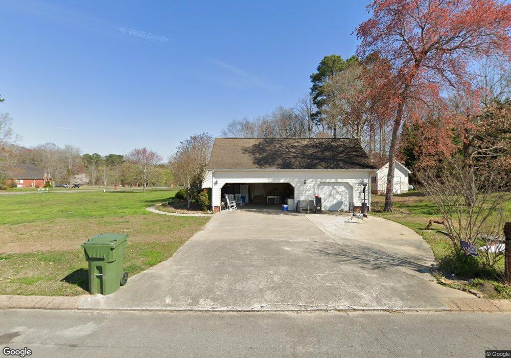
27 Shady Ct La Fayette, GA 30728
Estimated Value: $275,297 - $358,000
--
Bed
2
Baths
1,800
Sq Ft
$179/Sq Ft
Est. Value
About This Home
This home is located at 27 Shady Ct, La Fayette, GA 30728 and is currently estimated at $321,324, approximately $178 per square foot. 27 Shady Ct is a home located in Walker County with nearby schools including Naomi Elementary School, Lafayette Middle School, and Lafayette High School.
Ownership History
Date
Name
Owned For
Owner Type
Purchase Details
Closed on
Sep 29, 2000
Sold by
Neal Michael and Neal Shirley D
Bought by
Hartline John B and Hartline Shanna M
Current Estimated Value
Purchase Details
Closed on
Feb 8, 2000
Sold by
Motley Mark L
Bought by
Neal Michael and Neal Shirley D
Purchase Details
Closed on
Mar 26, 1999
Sold by
Newby Perry L
Bought by
Motley Mark L
Purchase Details
Closed on
Jun 4, 1996
Bought by
Newby Perry L
Create a Home Valuation Report for This Property
The Home Valuation Report is an in-depth analysis detailing your home's value as well as a comparison with similar homes in the area
Home Values in the Area
Average Home Value in this Area
Purchase History
| Date | Buyer | Sale Price | Title Company |
|---|---|---|---|
| Hartline John B | $173,000 | -- | |
| Neal Michael | $125,000 | -- | |
| Motley Mark L | $9,000 | -- | |
| Newby Perry L | -- | -- |
Source: Public Records
Tax History Compared to Growth
Tax History
| Year | Tax Paid | Tax Assessment Tax Assessment Total Assessment is a certain percentage of the fair market value that is determined by local assessors to be the total taxable value of land and additions on the property. | Land | Improvement |
|---|---|---|---|---|
| 2024 | $2,271 | $101,419 | $9,400 | $92,019 |
| 2023 | $2,220 | $96,989 | $9,400 | $87,589 |
| 2022 | $2,127 | $85,788 | $9,400 | $76,388 |
| 2021 | $1,979 | $71,935 | $9,400 | $62,535 |
| 2020 | $1,747 | $60,694 | $9,400 | $51,294 |
| 2019 | $1,778 | $60,694 | $9,400 | $51,294 |
| 2018 | $1,606 | $60,694 | $9,400 | $51,294 |
| 2017 | $1,945 | $60,694 | $9,400 | $51,294 |
| 2016 | $1,566 | $60,694 | $9,400 | $51,294 |
| 2015 | $1,874 | $68,945 | $9,400 | $59,545 |
| 2014 | $1,754 | $68,945 | $9,400 | $59,545 |
| 2013 | -- | $68,944 | $9,400 | $59,544 |
Source: Public Records
Map
Nearby Homes
- 218 Golden Oaks Dr
- 450 Arnold Ln
- 1934 Round Pond Rd
- 57 McGaha Rd
- 34 Winter Ln
- 1585 E Reed Rd
- 0 Georgia 95
- 1186 E Reed Rd
- 4904 Ringgold Rd
- 635 Cook Rd
- 150 Ken Visage Ln
- 0 Clyde Byrd Rd
- 106 Meadow Oak Dr
- 5062 Georgia 95
- 23 Oak Meadow Dr
- 4384 Round Pond Rd
- 1547 Dunwoody Rd
- 1314 Mcintire Rd
- 521 Wheeler Rd
- 901 Dunwoody Rd
- 43 Shady Ct
- 37 Golden Oaks Dr
- 64 Golden Oaks Dr
- 2722 Lake Howard Rd
- 50 Shady Ct
- 88 Golden Oaks Dr
- 89 Shady Ct
- 2742 Lake Howard Rd
- 2740 Lake Howard Rd
- 92 Golden Oaks Dr
- 2788 Lake Howard Rd
- 76 Shady Ct
- 2767 Lake Howard Rd
- 143 Golden Oaks Dr
- 103 Shady Ct
- 110 Golden Oaks Dr
- 2698 Lake Howard Rd
- 2798 Lake Howard Rd
- 2798 Lake Howard Rd
- 126 Shady Ct