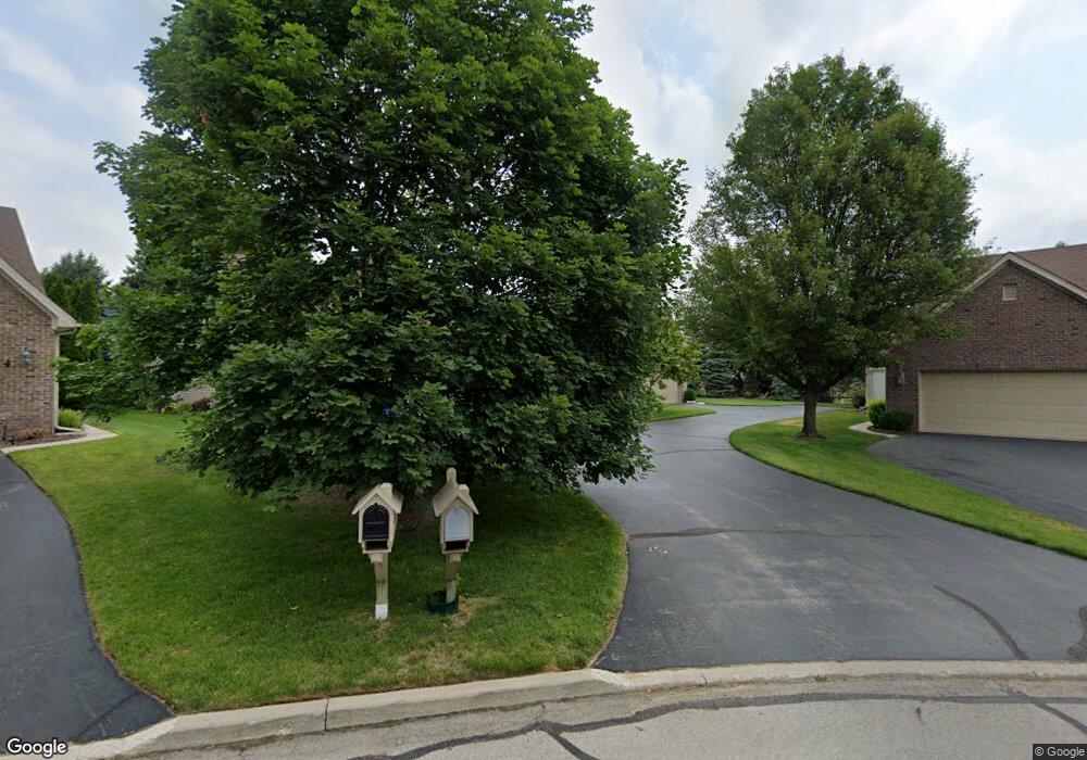
27 Shenandoah Cir Sylvania, OH 43560
Estimated Value: $356,199 - $417,000
3
Beds
3
Baths
1,960
Sq Ft
$194/Sq Ft
Est. Value
About This Home
This home is located at 27 Shenandoah Cir, Sylvania, OH 43560 and is currently estimated at $380,550, approximately $194 per square foot. 27 Shenandoah Cir is a home located in Lucas County with nearby schools including Sylvan Elementary School, Sylvania McCord Junior High School, and Sylvania Southview High School.
Ownership History
Date
Name
Owned For
Owner Type
Purchase Details
Closed on
Jul 29, 2003
Sold by
Reynolds Construction Co
Bought by
Stang Suzanne and Suzanne Stang Revocable Trust
Current Estimated Value
Home Financials for this Owner
Home Financials are based on the most recent Mortgage that was taken out on this home.
Original Mortgage
$241,600
Outstanding Balance
$102,937
Interest Rate
4.12%
Mortgage Type
Construction
Estimated Equity
$277,613
Create a Home Valuation Report for This Property
The Home Valuation Report is an in-depth analysis detailing your home's value as well as a comparison with similar homes in the area
Home Values in the Area
Average Home Value in this Area
Purchase History
| Date | Buyer | Sale Price | Title Company |
|---|---|---|---|
| Stang Suzanne | $35,000 | -- |
Source: Public Records
Mortgage History
| Date | Status | Borrower | Loan Amount |
|---|---|---|---|
| Open | Stang Suzanne | $241,600 |
Source: Public Records
Tax History Compared to Growth
Tax History
| Year | Tax Paid | Tax Assessment Tax Assessment Total Assessment is a certain percentage of the fair market value that is determined by local assessors to be the total taxable value of land and additions on the property. | Land | Improvement |
|---|---|---|---|---|
| 2024 | $2,749 | $98,280 | $7,980 | $90,300 |
| 2023 | $5,885 | $91,770 | $6,195 | $85,575 |
| 2022 | $5,923 | $91,770 | $6,195 | $85,575 |
| 2021 | $6,074 | $91,770 | $6,195 | $85,575 |
| 2020 | $5,558 | $76,265 | $5,005 | $71,260 |
| 2019 | $5,342 | $76,265 | $5,005 | $71,260 |
| 2018 | $5,130 | $76,265 | $5,005 | $71,260 |
| 2017 | $5,371 | $70,980 | $5,250 | $65,730 |
| 2016 | $5,261 | $202,800 | $15,000 | $187,800 |
| 2015 | $4,941 | $202,800 | $15,000 | $187,800 |
| 2014 | $4,704 | $68,250 | $5,040 | $63,210 |
| 2013 | $4,704 | $68,250 | $5,040 | $63,210 |
Source: Public Records
Map
Nearby Homes
- 21 Shenandoah Cir
- 6657 Margate Blvd
- 6626 Kingsbridge Dr Unit 4
- 4216 Stonehenge Dr Unit 4
- 11755 W Sylvania Ave
- 3833 Pepperwood Ct
- 4647 Vicksburg Dr
- 6924 Brintwood Rd
- 4616 Longfellow Rd
- 6614 Brint Rd
- 6584 Brint Rd
- 7413 Sylvania Ave
- 9152 Mill St
- 4025 Sherwood Forest Manor Rd
- 7345 Country Commons Ln
- 6409 Madison Cove Ct Unit 3
- 9508 Paradise Ln
- 8729 Harlow Ct
- 8753 Harlow Ct
- 8816 Harlow Ct
- 28 Shenandoah Cir
- 26 Shenandoah Cir
- 29 Shenandoah Cir
- 6754 5th Ave Unit D
- 4236 Appomattox Dr
- 6752 5th Ave
- 25 Shenandoah Cir
- 30 Shenandoah Cir
- 4230 Appomattox Dr
- 4147 Rodeo Dr Unit C
- 4145 Rodeo Dr Unit B
- 4143 Rodeo Dr Unit A
- 24 Shenandoah Cir
- 6748 5th Ave Unit A
- 31 Shenandoah Cir
- 4242 Appomattox Dr
- 6750 5th Ave
- 4224 Appomattox Dr
- 4222 Appomattox Dr
- 23 Shenandoah Cir
