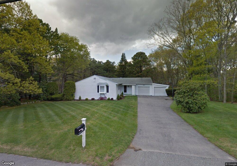
27 Sherwood Dr Westerly, RI 02891
Estimated Value: $605,608 - $834,000
3
Beds
2
Baths
1,740
Sq Ft
$400/Sq Ft
Est. Value
About This Home
This home is located at 27 Sherwood Dr, Westerly, RI 02891 and is currently estimated at $695,152, approximately $399 per square foot. 27 Sherwood Dr is a home located in Washington County with nearby schools including Westerly High School and St. Michael School.
Create a Home Valuation Report for This Property
The Home Valuation Report is an in-depth analysis detailing your home's value as well as a comparison with similar homes in the area
Home Values in the Area
Average Home Value in this Area
Tax History
| Year | Tax Paid | Tax Assessment Tax Assessment Total Assessment is a certain percentage of the fair market value that is determined by local assessors to be the total taxable value of land and additions on the property. | Land | Improvement |
|---|---|---|---|---|
| 2025 | $3,522 | $495,300 | $233,000 | $262,300 |
| 2024 | $3,795 | $386,900 | $167,300 | $219,600 |
| 2023 | $3,722 | $386,900 | $167,300 | $219,600 |
| 2022 | $3,699 | $386,900 | $167,300 | $219,600 |
| 2021 | $3,629 | $315,000 | $145,700 | $169,300 |
| 2020 | $3,563 | $315,000 | $145,700 | $169,300 |
| 2019 | $3,528 | $315,000 | $145,700 | $169,300 |
| 2018 | $3,288 | $276,800 | $134,500 | $142,300 |
| 2017 | $3,208 | $276,800 | $134,500 | $142,300 |
| 2016 | $3,233 | $276,800 | $134,500 | $142,300 |
| 2015 | $3,164 | $292,400 | $148,700 | $143,700 |
| 2014 | $3,111 | $292,400 | $148,700 | $143,700 |
Source: Public Records
Map
Nearby Homes
- 54 Sherwood Dr
- 6 Wilder Ave
- 44 Rock Ridge Rd
- 37 Urso Dr
- 13 Plateau Rd
- 33 Whipple Ave
- 8 Kettle Close
- 1 Compass Way Unit A103
- 9 Compass Way Unit 101
- 46 Salt Pond Way
- 30 Clifford Dr
- 263 Post Rd
- 20 Snowberry Ln
- 446 Atlantic Ave
- 408 Atlantic Ave
- 11 Bucks Trail
- 399 Atlantic Ave
- 12 Apache Dr Unit A
- 21 North Dr
- 17 Apache Dr Unit G
Your Personal Tour Guide
Ask me questions while you tour the home.