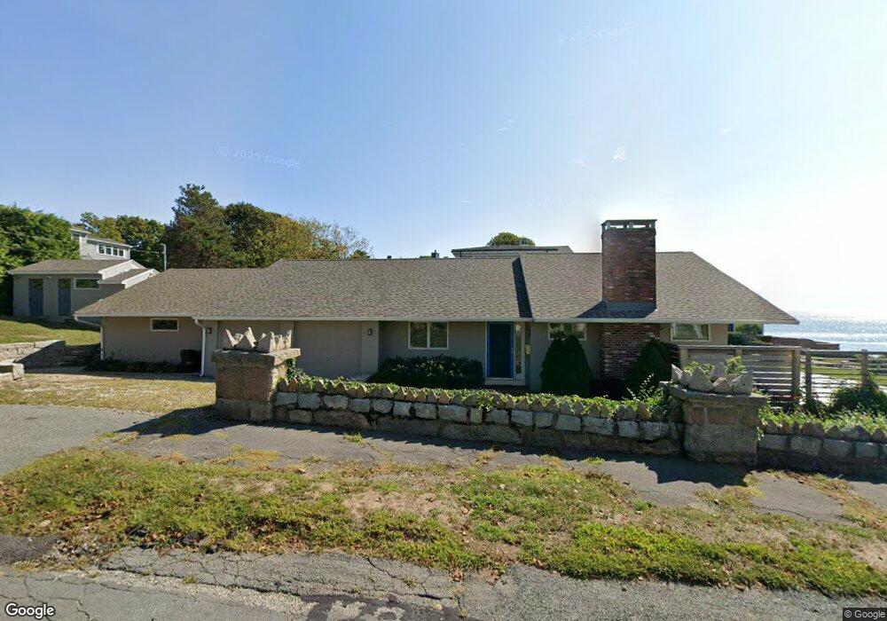
27 Shore Rd Gloucester, MA 01930
Magnolia NeighborhoodEstimated Value: $884,000 - $2,383,000
3
Beds
2
Baths
1,596
Sq Ft
$1,118/Sq Ft
Est. Value
About This Home
This home is located at 27 Shore Rd, Gloucester, MA 01930 and is currently estimated at $1,784,936, approximately $1,118 per square foot. 27 Shore Rd is a home located in Essex County with nearby schools including West Parish, Ralph B O'maley Middle School, and Gloucester High School.
Ownership History
Date
Name
Owned For
Owner Type
Purchase Details
Closed on
Sep 14, 2023
Sold by
Fogarty Brenda and Obrien Kelly S
Bought by
27 & 28 Shore Road Rt and Obrien
Current Estimated Value
Purchase Details
Closed on
Dec 5, 2008
Sold by
Gagliano Sam F and Gagliano Pauline
Bought by
Obrien Kelly S
Home Financials for this Owner
Home Financials are based on the most recent Mortgage that was taken out on this home.
Original Mortgage
$200,000
Interest Rate
6.11%
Mortgage Type
Purchase Money Mortgage
Create a Home Valuation Report for This Property
The Home Valuation Report is an in-depth analysis detailing your home's value as well as a comparison with similar homes in the area
Home Values in the Area
Average Home Value in this Area
Purchase History
| Date | Buyer | Sale Price | Title Company |
|---|---|---|---|
| 27 & 28 Shore Road Rt | -- | None Available | |
| Obrien Kelly S | $925,000 | -- | |
| Fogarty Brenda J | $925,000 | -- |
Source: Public Records
Mortgage History
| Date | Status | Borrower | Loan Amount |
|---|---|---|---|
| Previous Owner | Obrien Kelly S | $203,000 | |
| Previous Owner | Fogarty Brenda J | $200,000 |
Source: Public Records
Tax History
| Year | Tax Paid | Tax Assessment Tax Assessment Total Assessment is a certain percentage of the fair market value that is determined by local assessors to be the total taxable value of land and additions on the property. | Land | Improvement |
|---|---|---|---|---|
| 2025 | $18,433 | $1,896,400 | $1,320,700 | $575,700 |
| 2024 | $17,845 | $1,834,000 | $1,258,000 | $576,000 |
| 2023 | $17,088 | $1,613,600 | $1,073,000 | $540,600 |
| 2022 | $16,291 | $1,388,800 | $932,600 | $456,200 |
| 2021 | $16,059 | $1,290,900 | $848,400 | $442,500 |
| 2020 | $15,596 | $1,264,900 | $848,500 | $416,400 |
| 2019 | $13,250 | $1,044,100 | $809,000 | $235,100 |
| 2018 | $14,174 | $1,096,200 | $789,300 | $306,900 |
| 2017 | $13,782 | $1,044,900 | $751,500 | $293,400 |
| 2016 | $13,251 | $973,600 | $718,300 | $255,300 |
| 2015 | $12,959 | $949,400 | $701,900 | $247,500 |
Source: Public Records
Map
Nearby Homes
- 2 Ocean Ave Unit 2K
- 24 Flume Rd
- 53 Raymond St
- 468 Summer St
- 450 Summer St
- 239 Summer St
- 8 Forest St
- 4 Cobb Ave
- 100 Eastern Point Blvd
- 25 Masconomo St
- 6 Smith Ln Unit 6
- 18 Lyndale Ave
- 5 Marshfield St
- 45 School St
- 7 Flatley Ave
- 8 Flatley Ave
- 368 Essex Ave
- 5 Lepage Ln
- 26 Central St
- 24 Cobblestone Ln Unit 603
- 25 Shore Rd
- 25 Shore Rd
- 29 Shore Rd
- 58 Lexington Ave
- 58 Lexington Ave Unit 1 A
- 58 Lexington Ave Unit 2 A
- 23 Shore Rd
- 85 Lexington Ave
- 72 Lexington Ave
- 14 Oakes Ave
- 24 Shore Rd
- 31 Shore Rd
- 89 Lexington Ave
- 89 Lexington Ave Unit 3
- 8 Cliff Ave Unit 8
- 13 Shore Rd
- 15 Oakes Ave
- 10 Oakes Ave Unit 10
- 10 Oakes Ave Unit 2
- 10 Oakes Ave Unit 5
Your Personal Tour Guide
Ask me questions while you tour the home.