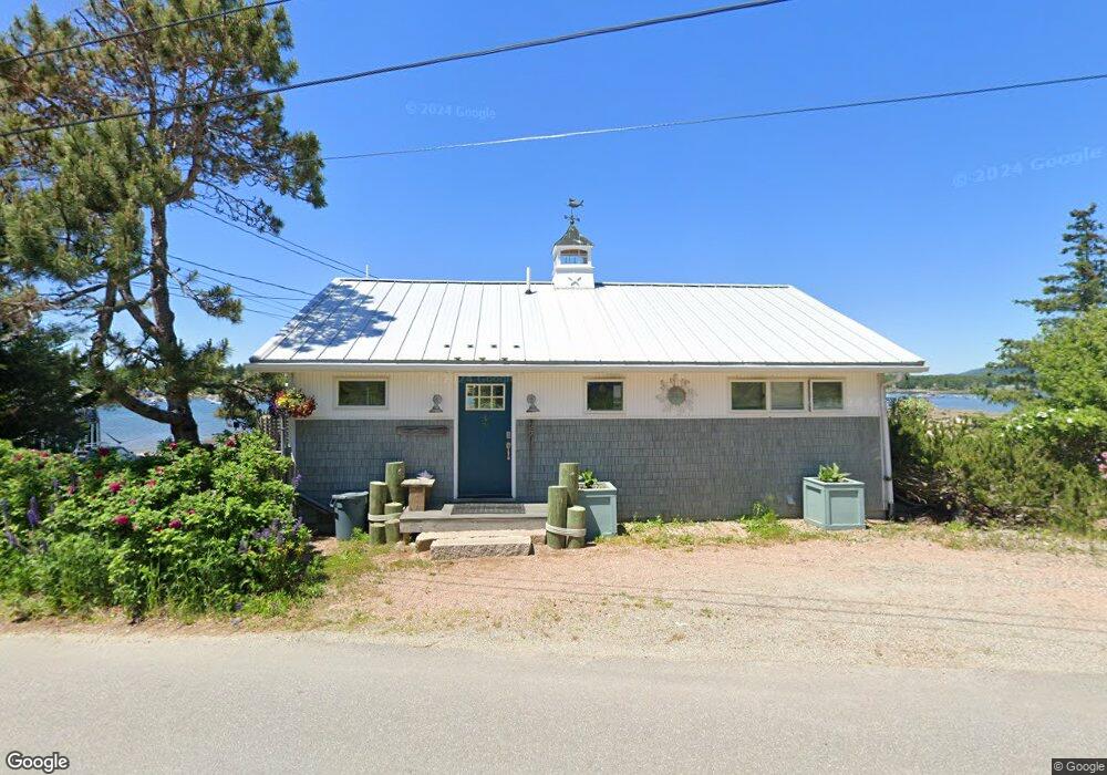
27 Shore Rd Southwest Harbor, ME 04679
Estimated Value: $390,000
--
Bed
--
Bath
--
Sq Ft
6,534
Sq Ft Lot
About This Home
This home is located at 27 Shore Rd, Southwest Harbor, ME 04679 and is currently estimated at $390,000. 27 Shore Rd is a home with nearby schools including Tremont Consolidated School and Mt. Desert Island High School.
Ownership History
Date
Name
Owned For
Owner Type
Purchase Details
Closed on
Nov 22, 2024
Sold by
Buck Kevin C and Buck Margery A
Bought by
Chen Daniel and Gaudet Jaime-Lyn
Current Estimated Value
Home Financials for this Owner
Home Financials are based on the most recent Mortgage that was taken out on this home.
Original Mortgage
$552,000
Outstanding Balance
$546,709
Interest Rate
6.32%
Mortgage Type
Purchase Money Mortgage
Estimated Equity
-$156,709
Create a Home Valuation Report for This Property
The Home Valuation Report is an in-depth analysis detailing your home's value as well as a comparison with similar homes in the area
Home Values in the Area
Average Home Value in this Area
Purchase History
| Date | Buyer | Sale Price | Title Company |
|---|---|---|---|
| Chen Daniel | -- | None Available | |
| Chen Daniel | -- | None Available |
Source: Public Records
Mortgage History
| Date | Status | Borrower | Loan Amount |
|---|---|---|---|
| Open | Chen Daniel | $552,000 | |
| Closed | Chen Daniel | $552,000 |
Source: Public Records
Tax History Compared to Growth
Tax History
| Year | Tax Paid | Tax Assessment Tax Assessment Total Assessment is a certain percentage of the fair market value that is determined by local assessors to be the total taxable value of land and additions on the property. | Land | Improvement |
|---|---|---|---|---|
| 2024 | $3,309 | $357,700 | $152,500 | $205,200 |
| 2023 | $2,909 | $226,900 | $134,500 | $92,400 |
| 2022 | $2,641 | $226,900 | $134,500 | $92,400 |
| 2021 | $2,530 | $226,900 | $134,500 | $92,400 |
| 2020 | $2,275 | $226,900 | $134,500 | $92,400 |
| 2019 | $2,352 | $226,800 | $134,500 | $92,300 |
| 2018 | $2,352 | $226,800 | $134,500 | $92,300 |
| 2017 | $2,245 | $226,800 | $134,500 | $92,300 |
| 2016 | $2,328 | $226,800 | $134,500 | $92,300 |
| 2015 | $2,132 | $226,800 | $134,500 | $92,300 |
| 2014 | $2,005 | $226,800 | $134,500 | $92,300 |
| 2013 | $1,985 | $226,800 | $134,500 | $92,300 |
Source: Public Records
Map
Nearby Homes
- 30 Leighton Rd
- 116 Bernard Rd
- 102 Bernard Rd
- 17 Bayberry Ln
- 146 Tremont Rd
- 373 Harbor Dr
- 23 Mount Gilboa Way
- 113 Bass Harbor Rd
- 22 Neal Ln
- 8 Gunlow Pond Rd
- 177 Richtown Rd
- 152 Richtown Rd
- 508 Tremont Rd
- 62 Hadlock Rd
- 000
- 000 Seawall Map Lot 17 11-06
- 26 Clark Point Rd
- 000 Seawall Map Lot 17 11-01 Rd
- 000
- 000 Seawall Map Lot 17 11-02 Rd
- One Little Island Way Bass Harbor
- 0 Shore Rd
- 24 Shore Rd
- 19 Shore Rd
- 13 Little Island Way
- 12 Little Island Way
- 187 Harbor Dr
- 15 Shore Rd
- 9 Earls Way
- 12 Shore Rd
- 11 Shore Rd
- 10 Earls Way
- 12 Shore Rd
- 197 Harbor Dr
- 181 Harbor Dr
- 193 Harbor Dr
- 1 Earls Way
- 175 Harbor Dr Unit 2
- 180 Harbor Dr
- 188 Harbor Dr