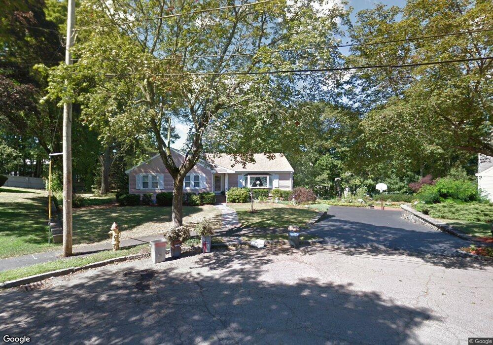
27 Stanley Cir Unit 1 Quincy, MA 02169
South Quincy NeighborhoodEstimated Value: $735,000 - $867,681
3
Beds
2
Baths
1,682
Sq Ft
$476/Sq Ft
Est. Value
About This Home
This home is located at 27 Stanley Cir Unit 1, Quincy, MA 02169 and is currently estimated at $800,920, approximately $476 per square foot. 27 Stanley Cir Unit 1 is a home located in Norfolk County with nearby schools including Lincoln-Hancock Community School, South West Middle School, and Quincy High School.
Ownership History
Date
Name
Owned For
Owner Type
Purchase Details
Closed on
Oct 31, 2020
Sold by
Sacco Joanne P and Misite Kathleen M
Bought by
Perrone Joseph P and Perrone Virginia A
Current Estimated Value
Create a Home Valuation Report for This Property
The Home Valuation Report is an in-depth analysis detailing your home's value as well as a comparison with similar homes in the area
Home Values in the Area
Average Home Value in this Area
Purchase History
| Date | Buyer | Sale Price | Title Company |
|---|---|---|---|
| Perrone Joseph P | -- | None Available |
Source: Public Records
Tax History
| Year | Tax Paid | Tax Assessment Tax Assessment Total Assessment is a certain percentage of the fair market value that is determined by local assessors to be the total taxable value of land and additions on the property. | Land | Improvement |
|---|---|---|---|---|
| 2025 | $7,975 | $691,700 | $330,300 | $361,400 |
| 2024 | $7,673 | $680,800 | $315,500 | $365,300 |
| 2023 | $7,199 | $646,800 | $288,700 | $358,100 |
| 2022 | $7,353 | $613,800 | $243,900 | $369,900 |
| 2021 | $6,797 | $559,900 | $243,900 | $316,000 |
| 2020 | $6,732 | $541,600 | $243,900 | $297,700 |
| 2019 | $6,589 | $525,000 | $231,300 | $293,700 |
| 2018 | $6,134 | $459,800 | $215,700 | $244,100 |
| 2017 | $5,933 | $418,700 | $206,300 | $212,400 |
| 2016 | $5,536 | $385,500 | $182,100 | $203,400 |
| 2015 | $5,366 | $367,500 | $182,100 | $185,400 |
| 2014 | $5,318 | $357,900 | $182,100 | $175,800 |
Source: Public Records
Map
Nearby Homes
- 166 Phipps St
- 11 Pearl St
- 81-85 Water St
- 155 Kendrick Ave Unit 502
- 202 Kendrick Ave
- 33 Elm St
- 8 Jackson St Unit B1
- 8 Jackson St Unit B4
- 62 South St Unit 7
- 44 Elm St
- 18 Cliveden St Unit 406W
- 18 Cliveden St Unit 205W
- 18 Cliveden St Unit 201W
- 2 Cliveden St Unit 601E
- 2 Cliveden St Unit 405E
- 35 Miller Stile Rd
- 56 Penn St Unit 4
- 5 Main St
- 171-175 Granite St
- 123 Elm St Unit D-12
- 27 Stanley Cir
- 23 Stanley Cir
- 23 Stanley Cir Unit 1
- 24 Stanley Cir
- 124 Phipps St
- 17 Stanley Cir
- 20 Stanley Cir
- 15 Stanley Cir
- 118 Phipps St
- 126 Phipps St
- 24 Mortimer Terrace
- 19 Mortimer Terrace
- 138 Phipps St
- 150 Phipps St
- 144 Phipps St
- 144 Phipps St Unit 2
- 12 Stanley Cir
- 123 Phipps St Unit 1
- 121 Phipps St
- 121 Phipps St Unit 123
Your Personal Tour Guide
Ask me questions while you tour the home.