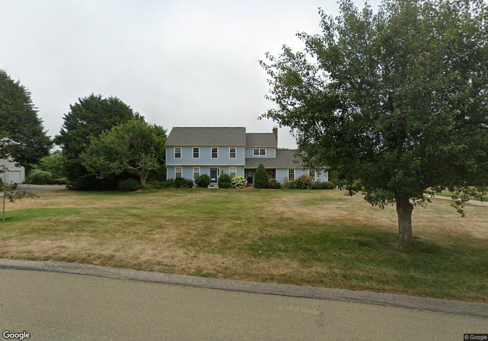
27 Starflower Ct Wakefield, RI 02879
Estimated Value: $1,055,378 - $1,275,000
4
Beds
3
Baths
2,212
Sq Ft
$516/Sq Ft
Est. Value
About This Home
This home is located at 27 Starflower Ct, Wakefield, RI 02879 and is currently estimated at $1,141,845, approximately $516 per square foot. 27 Starflower Ct is a home located in Washington County with nearby schools including South Kingstown High School.
Ownership History
Date
Name
Owned For
Owner Type
Purchase Details
Closed on
Aug 25, 1997
Sold by
Pulte Home Corp
Bought by
Lucas Bryan D and Gauman Lynn L
Current Estimated Value
Home Financials for this Owner
Home Financials are based on the most recent Mortgage that was taken out on this home.
Original Mortgage
$203,000
Interest Rate
7.42%
Create a Home Valuation Report for This Property
The Home Valuation Report is an in-depth analysis detailing your home's value as well as a comparison with similar homes in the area
Home Values in the Area
Average Home Value in this Area
Purchase History
| Date | Buyer | Sale Price | Title Company |
|---|---|---|---|
| Lucas Bryan D | $232,000 | -- |
Source: Public Records
Mortgage History
| Date | Status | Borrower | Loan Amount |
|---|---|---|---|
| Open | Lucas Bryan D | $150,000 | |
| Closed | Lucas Bryan D | $196,500 | |
| Closed | Lucas Bryan D | $203,000 |
Source: Public Records
Tax History
| Year | Tax Paid | Tax Assessment Tax Assessment Total Assessment is a certain percentage of the fair market value that is determined by local assessors to be the total taxable value of land and additions on the property. | Land | Improvement |
|---|---|---|---|---|
| 2025 | $7,264 | $812,500 | $356,300 | $456,200 |
| 2024 | $7,586 | $686,500 | $299,000 | $387,500 |
| 2023 | $7,586 | $686,500 | $299,000 | $387,500 |
| 2022 | $7,517 | $686,500 | $299,000 | $387,500 |
| 2021 | $6,942 | $480,400 | $189,600 | $290,800 |
| 2020 | $6,942 | $480,400 | $189,600 | $290,800 |
| 2019 | $6,942 | $480,400 | $189,600 | $290,800 |
| 2018 | $6,832 | $435,700 | $175,500 | $260,200 |
| 2017 | $6,671 | $435,700 | $175,500 | $260,200 |
| 2016 | $6,575 | $435,700 | $175,500 | $260,200 |
| 2015 | $6,458 | $416,100 | $159,500 | $256,600 |
| 2014 | $6,441 | $416,100 | $159,500 | $256,600 |
Source: Public Records
Map
Nearby Homes
- 380 Camp Fuller Rd
- 14 E Pointe Ct Unit 14
- 17 Goose Island Rd
- 6 MacAlder St
- 62 Flintstone Rd
- 1138 Succotash Rd
- 1140 Succotash Rd
- 210 Washington St
- 262 Wood Hill Rd
- 100 Spartina Cove Way
- 27 Holden Rd
- 975 Matunuck Beach Rd
- 28 Palm Beach Ave
- 609 Point Judith Rd
- 0 Hemlock Ave
- 200 Clarke Rd Unit A208
- 0 Point Judith Rd
- 660 Point Judith Rd Unit C4
- 576 Point Judith Rd
- 2321 Post Rd
- 39 Starflower Ct
- 11 Starflower Ct
- 432 Kettle Pond Dr
- 506 Kettle Pond Dr
- 22 Starflower Ct
- 21 Starflower Ct
- 524 Kettle Pond Dr
- 20 Starflower Ct
- 26 Starflower Ct
- 594 Kettle Pond Dr
- 44 Starflower Ct
- 490 Kettle Pond Dr
- 10 Starflower Ct
- 608 Kettle Pond Dr
- 578 Kettle Pond Dr
- 450 Kettle Pond Dr
- 540 Kettle Pond Dr
- 421 Kettle Pond Dr
- 626 Kettle Pond Dr
- 405 Kettle Pond Dr
Your Personal Tour Guide
Ask me questions while you tour the home.