27 Stonegate Rd New Hartford, CT 06057
Estimated Value: $482,000 - $838,000
3
Beds
3
Baths
2,785
Sq Ft
$242/Sq Ft
Est. Value
About This Home
This home is located at 27 Stonegate Rd, New Hartford, CT 06057 and is currently estimated at $672,984, approximately $241 per square foot. 27 Stonegate Rd is a home with nearby schools including Ann Antolini School, Northwestern Regional Middle School, and Northwestern Regional High School.
Ownership History
Date
Name
Owned For
Owner Type
Purchase Details
Closed on
Dec 22, 2016
Sold by
Ouellette Brian P
Bought by
Ouellette Amy E
Current Estimated Value
Purchase Details
Closed on
Apr 6, 2009
Sold by
Goodhouse Dev Corp Inc
Bought by
Ouellette Brian P and Ouellette Amy E
Home Financials for this Owner
Home Financials are based on the most recent Mortgage that was taken out on this home.
Original Mortgage
$72,250
Interest Rate
4.92%
Mortgage Type
Adjustable Rate Mortgage/ARM
Create a Home Valuation Report for This Property
The Home Valuation Report is an in-depth analysis detailing your home's value as well as a comparison with similar homes in the area
Home Values in the Area
Average Home Value in this Area
Purchase History
| Date | Buyer | Sale Price | Title Company |
|---|---|---|---|
| Ouellette Amy E | -- | -- | |
| Ouellette Brian P | $132,250 | -- |
Source: Public Records
Mortgage History
| Date | Status | Borrower | Loan Amount |
|---|---|---|---|
| Previous Owner | Ouellette Brian P | $75,000 | |
| Previous Owner | Ouellette Brian P | $275,000 | |
| Previous Owner | Ouellette Brian P | $72,250 |
Source: Public Records
Tax History Compared to Growth
Tax History
| Year | Tax Paid | Tax Assessment Tax Assessment Total Assessment is a certain percentage of the fair market value that is determined by local assessors to be the total taxable value of land and additions on the property. | Land | Improvement |
|---|---|---|---|---|
| 2025 | $11,383 | $399,840 | $86,800 | $313,040 |
| 2024 | $10,932 | $399,840 | $86,800 | $313,040 |
| 2023 | $9,934 | $300,860 | $86,310 | $214,550 |
| 2022 | $9,721 | $300,860 | $86,310 | $214,550 |
| 2021 | $9,817 | $300,860 | $86,310 | $214,550 |
| 2020 | $9,439 | $291,970 | $86,310 | $205,660 |
| 2019 | $9,328 | $291,970 | $86,310 | $205,660 |
| 2018 | $9,289 | $287,420 | $85,820 | $201,600 |
| 2017 | $8,973 | $287,420 | $85,820 | $201,600 |
| 2016 | $8,945 | $287,420 | $85,820 | $201,600 |
| 2015 | $8,490 | $287,420 | $85,820 | $201,600 |
| 2014 | $8,243 | $287,420 | $85,820 | $201,600 |
Source: Public Records
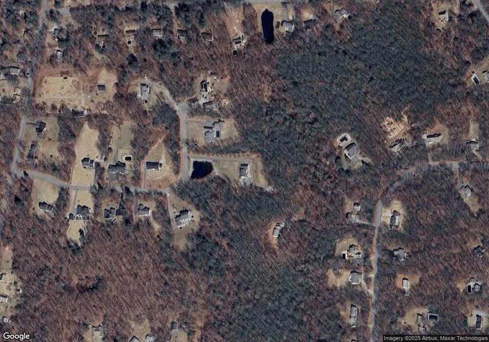
Map
Nearby Homes
- 37 Maillet Ln
- 18 Niles Rd
- 408 A Niles Rd
- 86 Bsullak Rd
- 200 W Hill Rd
- 45 Eddy Rd
- 7 Stadler Heights
- 103 New Hartford Rd
- 408 New Hartford Rd
- 187 Torringford St
- 555 Town Hill Rd
- 7 Church St N
- 537 Main St
- 13 Dew Rd
- 230 White Oak Way
- 57 Henderson Rd
- 229 White Oak Way
- 3222 Torringford St
- 225 White Oak Way
- 109 Winterberry Way
- 31 Stonegate Rd
- 77 Troutwood Dr
- 21 Stonegate Rd
- 35 Stonegate Rd
- 18 Stonegate Rd
- 17 Stonegate Rd
- 85 Troutwood Dr
- 71 Troutwood Dr
- 81 Troutwood Dr
- 37 Stonegate Rd
- 14 Stonegate Rd
- 69 Troutwood Dr
- 45 Maillet Ln
- 53 Maillet Ln
- 91 Troutwood Dr
- 15 Stonegate Rd
- 31 Maillet Ln
- 61 Maillet Ln
- 25 Maillet Ln
- 11 Stonegate Rd