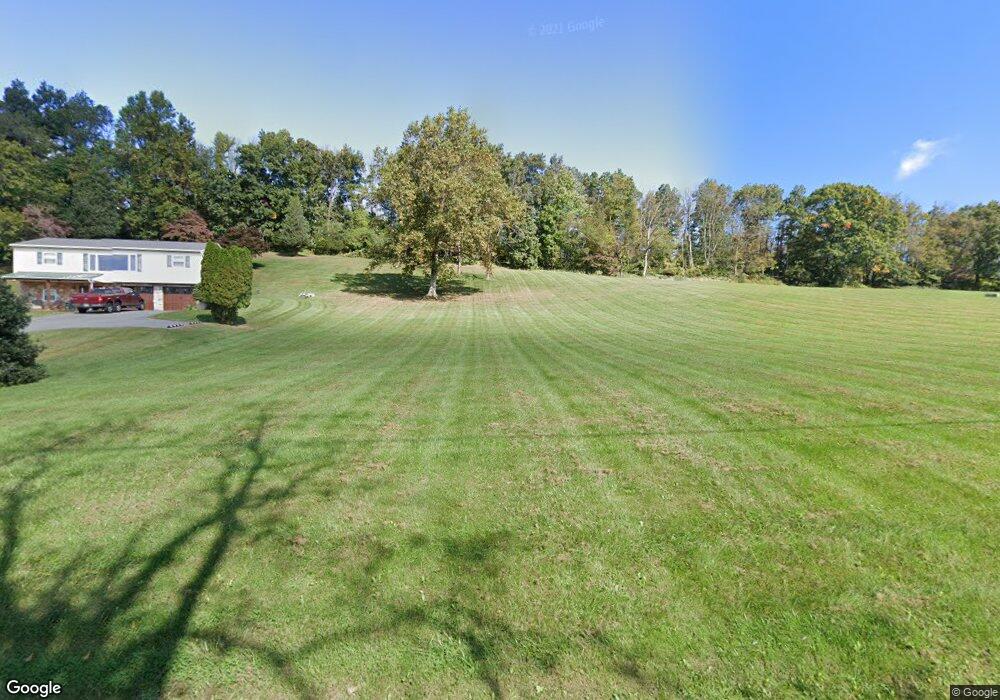
27 Sunset Dr Boyertown, PA 19512
Estimated Value: $304,000 - $368,000
3
Beds
1
Bath
1,540
Sq Ft
$221/Sq Ft
Est. Value
About This Home
This home is located at 27 Sunset Dr, Boyertown, PA 19512 and is currently estimated at $340,923, approximately $221 per square foot. 27 Sunset Dr is a home located in Berks County with nearby schools including Boyertown Area Senior High School, Jessie R Wagner Adventist Elementary School, and Pine Forge Academy.
Ownership History
Date
Name
Owned For
Owner Type
Purchase Details
Closed on
Jan 27, 2023
Sold by
Breidegam Scott A
Bought by
Breidegam Scott A
Current Estimated Value
Purchase Details
Closed on
Nov 8, 2010
Sold by
Breidegam Scott A and Breidegam Denise N
Bought by
Breidegam Scott A
Home Financials for this Owner
Home Financials are based on the most recent Mortgage that was taken out on this home.
Original Mortgage
$124,200
Interest Rate
4.3%
Mortgage Type
New Conventional
Create a Home Valuation Report for This Property
The Home Valuation Report is an in-depth analysis detailing your home's value as well as a comparison with similar homes in the area
Home Values in the Area
Average Home Value in this Area
Purchase History
| Date | Buyer | Sale Price | Title Company |
|---|---|---|---|
| Breidegam Scott A | -- | None Listed On Document | |
| Breidegam Scott A | -- | Old Republic National Title |
Source: Public Records
Mortgage History
| Date | Status | Borrower | Loan Amount |
|---|---|---|---|
| Previous Owner | Breidegam Scott A | $124,200 |
Source: Public Records
Tax History
| Year | Tax Paid | Tax Assessment Tax Assessment Total Assessment is a certain percentage of the fair market value that is determined by local assessors to be the total taxable value of land and additions on the property. | Land | Improvement |
|---|---|---|---|---|
| 2026 | $1,966 | $135,000 | $48,800 | $86,200 |
| 2025 | $1,878 | $135,000 | $48,800 | $86,200 |
| 2024 | $5,948 | $135,000 | $48,800 | $86,200 |
| 2023 | $5,369 | $126,400 | $40,200 | $86,200 |
| 2022 | $4,822 | $115,900 | $40,200 | $75,700 |
| 2021 | $4,712 | $115,900 | $40,200 | $75,700 |
| 2020 | $4,553 | $115,900 | $40,200 | $75,700 |
| 2019 | $4,442 | $115,900 | $40,200 | $75,700 |
| 2018 | $4,286 | $115,900 | $40,200 | $75,700 |
| 2017 | $4,050 | $115,900 | $40,200 | $75,700 |
| 2016 | $1,212 | $115,900 | $40,200 | $75,700 |
| 2015 | $1,212 | $115,900 | $40,200 | $75,700 |
| 2014 | $1,099 | $115,900 | $40,200 | $75,700 |
Source: Public Records
Map
Nearby Homes
- 1720 Farmington Ave
- 184 Haven Dr
- 1498 Laura Ln
- 1623 Brynne Ln
- 213 Cross Rd
- 1041 Reading Ave
- 33 Stafford Square
- 115 Golf Dr
- 1512 Aspen Dr
- 104 Maugers Mill Rd
- 125 Summer Hill Dr
- 1413 Heather Place
- 1440 Farmington Ave Unit 11
- 121 Snyder Rd
- 144 Snyder Rd
- 340 Estate Rd
- 1327 Farmington Ave
- 558 Gilbertsville Rd
- 2247 Bruce Dr
- 1196 N State St
- 47 Sunset Dr
- 9 Sunset Dr
- 44 Sunset Dr
- 51 Sunset Dr
- 50 Sunset Dr
- 502 Colebrookdale Rd
- 55 Sunset Dr
- 58 Sunset Dr
- 61 Sunset Dr
- 509 Colebrookdale Rd
- 513 Colebrookdale Rd
- 517 Colebrookdale Rd
- 28 Creamery Rd
- 44 Woodside Ln
- 521 Colebrookdale Rd
- 525 Colebrookdale Rd
- 64 Sunset Dr
- 65 Sunset Dr
- 487 Colebrookdale Rd
- 68 Sunset Dr
Your Personal Tour Guide
Ask me questions while you tour the home.