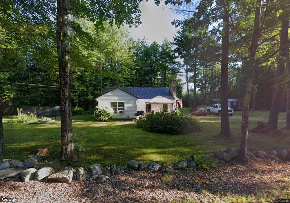
27 Swamp Rd Bridgton, ME 04009
Estimated Value: $308,000 - $355,000
2
Beds
1
Bath
912
Sq Ft
$361/Sq Ft
Est. Value
About This Home
This home is located at 27 Swamp Rd, Bridgton, ME 04009 and is currently estimated at $329,077, approximately $360 per square foot. 27 Swamp Rd is a home located in Cumberland County with nearby schools including Lake Region High School.
Ownership History
Date
Name
Owned For
Owner Type
Purchase Details
Closed on
Nov 2, 2005
Sold by
Carroll Charlotte A
Bought by
Giroux Lorenzo D and Giroux Patricia E
Current Estimated Value
Home Financials for this Owner
Home Financials are based on the most recent Mortgage that was taken out on this home.
Original Mortgage
$138,924
Outstanding Balance
$75,233
Interest Rate
5.85%
Mortgage Type
Purchase Money Mortgage
Estimated Equity
$253,844
Purchase Details
Closed on
Aug 5, 2005
Sold by
Lewandowksi Piort M
Bought by
Carroll Charlotte A
Home Financials for this Owner
Home Financials are based on the most recent Mortgage that was taken out on this home.
Original Mortgage
$118,655
Interest Rate
5.63%
Mortgage Type
Purchase Money Mortgage
Create a Home Valuation Report for This Property
The Home Valuation Report is an in-depth analysis detailing your home's value as well as a comparison with similar homes in the area
Home Values in the Area
Average Home Value in this Area
Purchase History
| Date | Buyer | Sale Price | Title Company |
|---|---|---|---|
| Giroux Lorenzo D | -- | -- | |
| Carroll Charlotte A | -- | -- |
Source: Public Records
Mortgage History
| Date | Status | Borrower | Loan Amount |
|---|---|---|---|
| Open | Giroux Lorenzo D | $138,924 | |
| Previous Owner | Carroll Charlotte A | $118,655 |
Source: Public Records
Tax History Compared to Growth
Tax History
| Year | Tax Paid | Tax Assessment Tax Assessment Total Assessment is a certain percentage of the fair market value that is determined by local assessors to be the total taxable value of land and additions on the property. | Land | Improvement |
|---|---|---|---|---|
| 2024 | $2,073 | $121,601 | $27,798 | $93,803 |
| 2023 | $2,092 | $121,601 | $27,798 | $93,803 |
| 2022 | $1,848 | $121,601 | $27,798 | $93,803 |
| 2021 | $1,800 | $121,601 | $27,798 | $93,803 |
| 2020 | $1,818 | $121,601 | $27,798 | $93,803 |
| 2019 | $1,824 | $121,601 | $27,798 | $93,803 |
| 2018 | $1,800 | $121,601 | $27,798 | $93,803 |
| 2017 | $1,860 | $121,601 | $27,798 | $93,803 |
| 2016 | $1,806 | $121,601 | $27,798 | $93,803 |
| 2015 | $1,830 | $133,078 | $33,206 | $99,872 |
| 2014 | $1,871 | $133,078 | $33,206 | $99,872 |
Source: Public Records
Map
Nearby Homes
- Lot 23 - D Smally Way
- Lot 23 - F Smally Way
- Lot 23 G Smally Way
- 3 A St
- 4 C St
- 220 S High St
- 0 Tuttle Ln Unit 1628227
- 161 Swamp Rd
- 307 Portland Rd
- 209 Portland Rd
- Lot 3 Wildwood Rd
- 64-74 Portland Rd
- 323 Portland Rd
- 97 Westwood Cottage Dr
- 3 Fowler St
- 76 Main St
- 6 School St
- 20 Bennett St
- Lot #3 Northwoods Ln
- 5 Wayside Ave
- 23 G Swamp Rd
- 23 D Swamp Rd
- 23 F Swamp Rd
- 23 Swamp Rd
- 23C Swamp Rd
- 30 Swamp Rd
- 26 Swamp Rd
- 11 Swamp Rd
- 32 Swamp Rd
- 8 Swamp Rd
- 305 S High St
- 1234 S High St
- 1251 S High St
- 1262 S High St
- 303 S High St
- 0 Swamp Rd Unit 492931
- 0 Swamp Rd Unit 481353
- 0 Swamp Rd Unit 472255
- 0 Swamp Rd Unit 308884
- 0 Swamp Rd Unit 250449