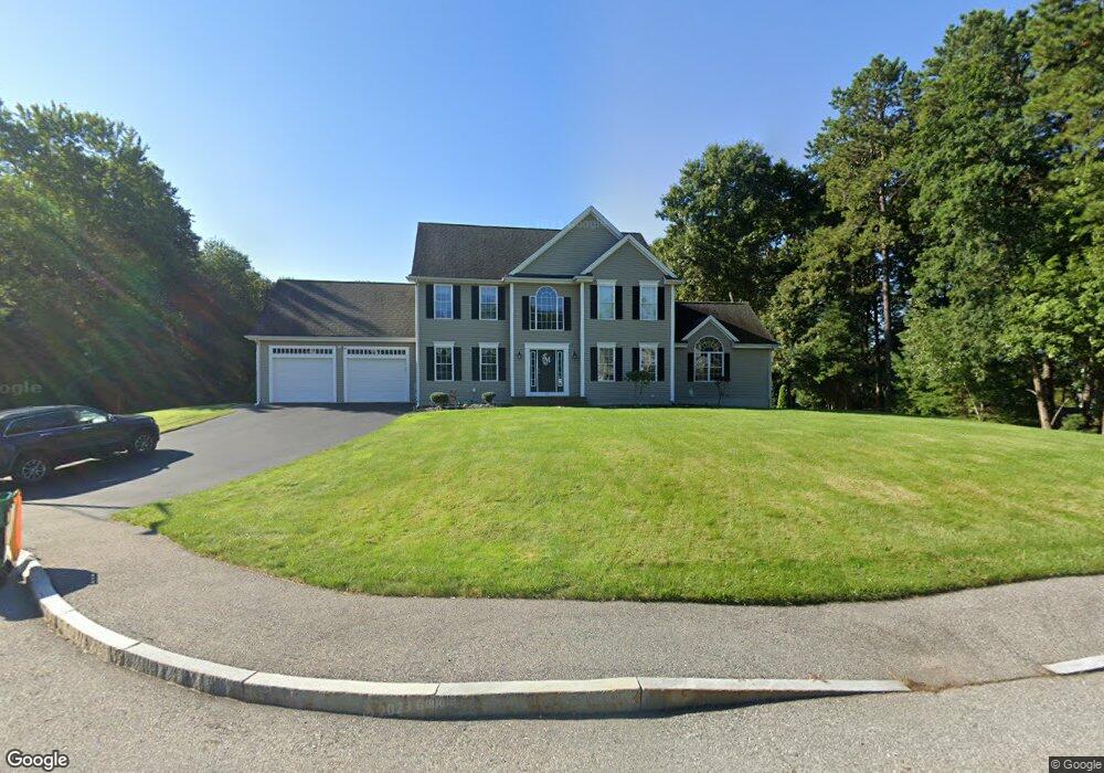
27 Thomas b Doolin Cir North Attleboro, MA 02760
North Attleboro NeighborhoodEstimated Value: $933,385 - $1,202,000
4
Beds
4
Baths
3,000
Sq Ft
$351/Sq Ft
Est. Value
About This Home
This home is located at 27 Thomas b Doolin Cir, North Attleboro, MA 02760 and is currently estimated at $1,053,346, approximately $351 per square foot. 27 Thomas b Doolin Cir is a home located in Bristol County with nearby schools including North Attleboro High School.
Ownership History
Date
Name
Owned For
Owner Type
Purchase Details
Closed on
Apr 10, 2008
Sold by
Flair Homes Inc
Bought by
Maceda Jason S and Maceda Leslie Ann
Current Estimated Value
Home Financials for this Owner
Home Financials are based on the most recent Mortgage that was taken out on this home.
Original Mortgage
$288,000
Outstanding Balance
$185,552
Interest Rate
6.3%
Mortgage Type
Purchase Money Mortgage
Estimated Equity
$867,794
Purchase Details
Closed on
Sep 7, 2007
Sold by
Rc Land Invest Corp
Bought by
Flair Homes Inc
Create a Home Valuation Report for This Property
The Home Valuation Report is an in-depth analysis detailing your home's value as well as a comparison with similar homes in the area
Home Values in the Area
Average Home Value in this Area
Purchase History
| Date | Buyer | Sale Price | Title Company |
|---|---|---|---|
| Maceda Jason S | $588,090 | -- | |
| Flair Homes Inc | -- | -- |
Source: Public Records
Mortgage History
| Date | Status | Borrower | Loan Amount |
|---|---|---|---|
| Open | Maceda Jason S | $288,000 |
Source: Public Records
Tax History Compared to Growth
Tax History
| Year | Tax Paid | Tax Assessment Tax Assessment Total Assessment is a certain percentage of the fair market value that is determined by local assessors to be the total taxable value of land and additions on the property. | Land | Improvement |
|---|---|---|---|---|
| 2025 | $10,586 | $897,900 | $173,900 | $724,000 |
| 2024 | $10,747 | $931,300 | $181,200 | $750,100 |
| 2023 | $10,249 | $801,300 | $181,200 | $620,100 |
| 2022 | $9,660 | $693,500 | $188,400 | $505,100 |
| 2021 | $9,845 | $689,900 | $188,400 | $501,500 |
| 2020 | $9,692 | $675,400 | $188,400 | $487,000 |
| 2019 | $9,451 | $663,700 | $171,500 | $492,200 |
| 2018 | $8,552 | $641,100 | $178,100 | $463,000 |
| 2017 | $8,475 | $641,100 | $178,100 | $463,000 |
| 2016 | $8,241 | $623,400 | $205,300 | $418,100 |
| 2015 | $7,866 | $598,600 | $205,300 | $393,300 |
| 2014 | $7,606 | $574,500 | $170,800 | $403,700 |
Source: Public Records
Map
Nearby Homes
- 740 Allen Ave
- 181 Paine Rd
- 31 Paine Rd
- 637 S Washington St Unit 47
- 807 Paine Rd
- 34 Stone Ridge Rd
- 164 Bear Hill Rd Unit 24
- 94 Abbott Run Valley Rd
- 44 Montclair Dr
- 47 Reservoir St
- Lot 6 Sperry Ln
- 11 Primrose Terrace
- 154 Bear Hill Rd Unit 405
- 140 Abbott Run Valley Rd
- 15 Standring St
- 121 E Washington St Unit 8
- 121 E Washington St Unit 12
- 121 E Washington St Unit 13
- 121 E Washington St Unit 11
- 135 Cumberland Ave
- 41 Thomas b Doolin Cir
- 40 Thomas b Doolin Cir
- 42 Thomas b Doolin Cir
- 15 Thomas b Doolin Cir
- 11 Thomas b Doolin Cir
- 38 Thomas b Doolin Cir
- 28 Thomas b Doolin Cir
- 75 Henry b Riordan Way
- 47 Harry B Riordan Junior Way
- 45 Harry B Riordan Junior Way
- 16 Thomas b Doolin Cir
- 43 Harry B Riordan Junior Way
- 62 Harry B Riordan Junior Way
- 39 Harry B Riordan Junior Way
- 87 Henry b Riordan Way
- LOT 46 Henry b Riordan Way
- 39 Henry b Riordan Way
- 106 Autumn Dr
- 27 Henry b Riordan Way
- 96 Saint Lawrence Way