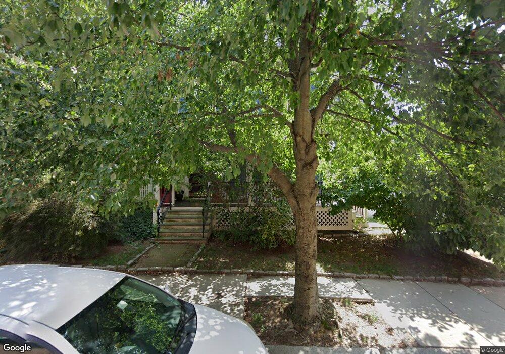
27 Thurston St Somerville, MA 02145
Winter Hill NeighborhoodEstimated Value: $1,154,000 - $1,624,735
7
Beds
3
Baths
3,843
Sq Ft
$373/Sq Ft
Est. Value
About This Home
This home is located at 27 Thurston St, Somerville, MA 02145 and is currently estimated at $1,432,184, approximately $372 per square foot. 27 Thurston St is a home located in Middlesex County with nearby schools including Somerville High School and Bright Future Educare Center.
Ownership History
Date
Name
Owned For
Owner Type
Purchase Details
Closed on
May 22, 2012
Sold by
Walter Christopher K and Pandey Arti
Bought by
Walter Christopher K and Pandey Arti
Current Estimated Value
Purchase Details
Closed on
Mar 11, 2011
Sold by
Graham Thomas L
Bought by
Walter Christopher K
Home Financials for this Owner
Home Financials are based on the most recent Mortgage that was taken out on this home.
Original Mortgage
$360,000
Interest Rate
4.83%
Mortgage Type
Purchase Money Mortgage
Purchase Details
Closed on
Apr 3, 2006
Sold by
Lee Bridget T and Lee Gerald
Bought by
Graham Thomas L
Home Financials for this Owner
Home Financials are based on the most recent Mortgage that was taken out on this home.
Original Mortgage
$300,000
Interest Rate
6.32%
Mortgage Type
Purchase Money Mortgage
Create a Home Valuation Report for This Property
The Home Valuation Report is an in-depth analysis detailing your home's value as well as a comparison with similar homes in the area
Home Values in the Area
Average Home Value in this Area
Purchase History
| Date | Buyer | Sale Price | Title Company |
|---|---|---|---|
| Walter Christopher K | -- | -- | |
| Walter Christopher K | -- | -- | |
| Walter Christopher K | $720,000 | -- | |
| Walter Christopher K | $720,000 | -- | |
| Graham Thomas L | $567,000 | -- | |
| Graham Thomas L | $567,000 | -- |
Source: Public Records
Mortgage History
| Date | Status | Borrower | Loan Amount |
|---|---|---|---|
| Previous Owner | Walter Christopher K | $360,000 | |
| Previous Owner | Graham Thomas L | $300,000 |
Source: Public Records
Tax History Compared to Growth
Tax History
| Year | Tax Paid | Tax Assessment Tax Assessment Total Assessment is a certain percentage of the fair market value that is determined by local assessors to be the total taxable value of land and additions on the property. | Land | Improvement |
|---|---|---|---|---|
| 2025 | $15,884 | $1,455,900 | $525,700 | $930,200 |
| 2024 | $14,757 | $1,402,800 | $525,700 | $877,100 |
| 2023 | $14,348 | $1,387,600 | $525,700 | $861,900 |
| 2022 | $13,406 | $1,316,900 | $500,500 | $816,400 |
| 2021 | $12,559 | $1,232,500 | $476,800 | $755,700 |
| 2020 | $5,471 | $1,172,400 | $458,400 | $714,000 |
| 2019 | $5,319 | $1,046,100 | $389,100 | $657,000 |
| 2018 | $5,138 | $913,400 | $375,300 | $538,100 |
| 2017 | $5,044 | $844,200 | $350,000 | $494,200 |
| 2016 | $9,755 | $778,500 | $302,600 | $475,900 |
| 2015 | $9,357 | $742,000 | $269,800 | $472,200 |
Source: Public Records
Map
Nearby Homes
- 31 Thurston St Unit 6
- 71 Thurston St
- 185 School St
- 7 Stickney Ave
- 59 Dartmouth St Unit A
- 115 Thurston St Unit I
- 115 Thurston St Unit B
- 10 Mortimer Place
- 176-182 Broadway
- 25 Browning Rd
- 400 Possum Run
- 105 Central St
- 115 Highland Ave Unit 21
- 456 Medford St Unit 3
- 7 Bond St
- 390 Broadway Unit 24
- 15 Albion St
- 19 Fenwick St Unit 4
- 124 Highland Ave Unit 204
- 124 Highland Ave Unit 404
- 27 Thurston St Unit 2
- 27 Thurston St Unit Upper
- 31 Thurston St Unit 5
- 31 Thurston St Unit 4
- 31 Thurston St Unit 2
- 31 Thurston St Unit 1
- 31 Thurston St Unit 31 Thurston
- 31 Thurston St Unit 2,31
- 31 Thurston St Unit 3,3
- 31 Thurston St
- 21 Thurston St
- 33 Thurston St
- 12 Dartmouth St
- 35 Thurston St Unit 3
- 10 Dartmouth St
- 14 Dartmouth St
- 8 Dartmouth St
- 389 Medford St
- 389 Medford St Unit 1
- 389 Medford St