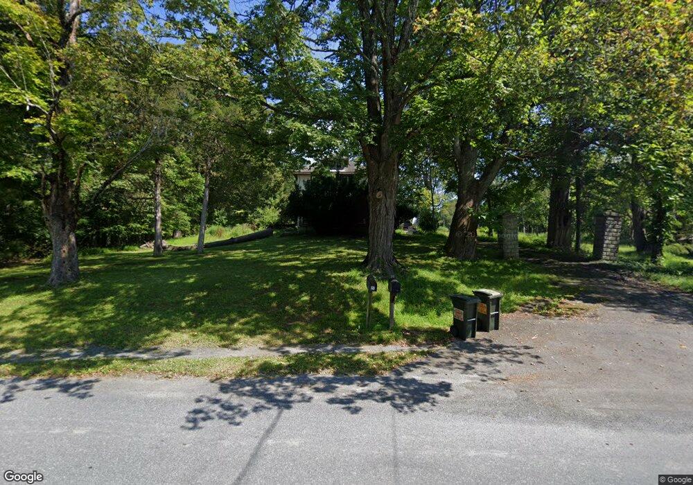
27 Tow Path Rd Accord, NY 12404
Estimated Value: $368,000 - $594,000
4
Beds
2
Baths
1,728
Sq Ft
$278/Sq Ft
Est. Value
About This Home
This home is located at 27 Tow Path Rd, Accord, NY 12404 and is currently estimated at $479,877, approximately $277 per square foot. 27 Tow Path Rd is a home located in Ulster County with nearby schools including Rondout Valley High School.
Ownership History
Date
Name
Owned For
Owner Type
Purchase Details
Closed on
May 5, 2021
Sold by
Field Scott and Sasso Roseanne
Bought by
Field Scott and Sasso Roseabbe
Current Estimated Value
Purchase Details
Closed on
Dec 8, 2008
Sold by
Field Kevin M and Field Stefanie J
Bought by
Field Scott and Sasso Rosanne
Purchase Details
Closed on
Dec 23, 1996
Purchase Details
Closed on
Apr 5, 1994
Create a Home Valuation Report for This Property
The Home Valuation Report is an in-depth analysis detailing your home's value as well as a comparison with similar homes in the area
Home Values in the Area
Average Home Value in this Area
Purchase History
| Date | Buyer | Sale Price | Title Company |
|---|---|---|---|
| Field Scott | -- | None Available | |
| Field Scott | $217,500 | Commonwealth Land Title Insu | |
| -- | -- | -- | |
| -- | -- | -- |
Source: Public Records
Tax History Compared to Growth
Tax History
| Year | Tax Paid | Tax Assessment Tax Assessment Total Assessment is a certain percentage of the fair market value that is determined by local assessors to be the total taxable value of land and additions on the property. | Land | Improvement |
|---|---|---|---|---|
| 2024 | $4,892 | $189,900 | $32,500 | $157,400 |
| 2023 | $4,850 | $189,900 | $32,500 | $157,400 |
| 2022 | $4,434 | $189,900 | $32,500 | $157,400 |
| 2021 | $4,434 | $189,900 | $32,500 | $157,400 |
| 2020 | $4,028 | $189,900 | $32,500 | $157,400 |
| 2019 | $3,749 | $177,500 | $32,500 | $145,000 |
| 2018 | $3,833 | $165,000 | $27,500 | $137,500 |
| 2017 | $3,722 | $165,000 | $27,500 | $137,500 |
| 2016 | $3,709 | $165,000 | $27,500 | $137,500 |
| 2015 | -- | $165,000 | $27,500 | $137,500 |
| 2014 | -- | $165,000 | $27,500 | $137,500 |
Source: Public Records
Map
Nearby Homes
- 30 Aevo Rd
- 44 Stony Rd
- 15 Teradon
- 464 Mill Hook Rd
- 9 Hamilton Dr
- 381 Mill Hook Rd
- 30 & 40 Fawn Ln
- TBD Route 209
- 270 Mettacahonts Rd
- 83 Sages Loop
- 45 Millbrook Ln
- 83 Sages Loop Rd
- 17 Boice Mill Rd
- 19 Boice Mill Rd
- 363 Mettacahonts Rd Unit 5
- 87 Boice Mill Rd
- 546 Berme Rd
- 34 Stonykill & Granite Rd
- 46 Pompeys Cave Rd
- 000 County Route 6
- 27 Towpath Rd
- 37 Towpath Rd
- 0 Stony Kill Rd
- 0 Stony Kill Rd Unit 20183117
- 19 Tow Path Rd
- 32 Tow Path Rd
- 18 Tow Path Rd
- 42 Towpath Rd
- 42 Tow Path Rd
- 5 Stony Kill Rd
- 46 Tow Path Rd
- 12 Tow Path Rd
- 54 Tow Path Rd
- 55 Stony Kill Rd
- 8 Tow Path Rd
- 8 Tobacco Rd Unit AKA 6 GLF /1 Towpath
- 8 Tobacco Rd
- 14 Stony Kill Rd
- 15 Stony Kill Rd
- 21 Stony Kill Rd