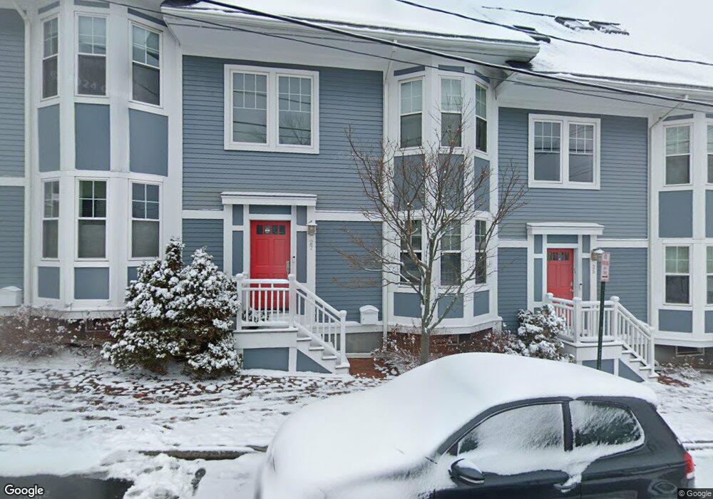
27 Tyng St Unit 2 Portland, ME 04102
West End NeighborhoodEstimated Value: $901,000 - $1,146,000
3
Beds
3
Baths
2,052
Sq Ft
$473/Sq Ft
Est. Value
About This Home
This home is located at 27 Tyng St Unit 2, Portland, ME 04102 and is currently estimated at $970,067, approximately $472 per square foot. 27 Tyng St Unit 2 is a home located in Cumberland County with nearby schools including Howard C. Reiche Community School, King Middle School, and Baxter Academy for Tech & Sciences.
Ownership History
Date
Name
Owned For
Owner Type
Purchase Details
Closed on
Sep 3, 2013
Sold by
Johnson Mary E M Est
Bought by
Shaw David and Landon Barbara
Current Estimated Value
Home Financials for this Owner
Home Financials are based on the most recent Mortgage that was taken out on this home.
Original Mortgage
$342,920
Outstanding Balance
$255,898
Interest Rate
4.4%
Mortgage Type
New Conventional
Estimated Equity
$714,169
Purchase Details
Closed on
Jan 20, 2011
Sold by
Fresh Fish Llc
Bought by
Handrahan Mary E
Purchase Details
Closed on
Oct 4, 2007
Sold by
Spinella Christine L and Spinella Ronald J
Bought by
Fresh Fish Llc
Create a Home Valuation Report for This Property
The Home Valuation Report is an in-depth analysis detailing your home's value as well as a comparison with similar homes in the area
Home Values in the Area
Average Home Value in this Area
Purchase History
| Date | Buyer | Sale Price | Title Company |
|---|---|---|---|
| Shaw David | -- | -- | |
| Handrahan Mary E | -- | -- | |
| Fresh Fish Llc | -- | -- |
Source: Public Records
Mortgage History
| Date | Status | Borrower | Loan Amount |
|---|---|---|---|
| Open | Shaw David | $342,920 |
Source: Public Records
Tax History Compared to Growth
Tax History
| Year | Tax Paid | Tax Assessment Tax Assessment Total Assessment is a certain percentage of the fair market value that is determined by local assessors to be the total taxable value of land and additions on the property. | Land | Improvement |
|---|---|---|---|---|
| 2024 | $9,075 | $604,600 | $120,920 | $483,680 |
| 2023 | $8,712 | $604,600 | $120,920 | $483,680 |
| 2022 | $8,229 | $604,600 | $120,920 | $483,680 |
| 2021 | $7,854 | $604,600 | $120,920 | $483,680 |
| 2020 | $7,469 | $320,400 | $64,100 | $256,300 |
| 2019 | $7,469 | $320,400 | $64,100 | $256,300 |
| 2018 | $7,203 | $320,400 | $64,100 | $256,300 |
| 2017 | $6,937 | $320,400 | $64,100 | $256,300 |
| 2016 | $6,764 | $320,400 | $64,100 | $256,300 |
| 2015 | $6,610 | $320,400 | $64,100 | $256,300 |
| 2014 | $6,408 | $320,400 | $64,100 | $256,300 |
Source: Public Records
Map
Nearby Homes
- 32 State St Unit 1
- 64 Gray St
- 83 Brackett St
- 28 Summer St
- 88 Park St Unit 41
- 25 High St Unit 214
- 25 High St Unit 408
- 387 Commercial St Unit 710
- 387 Commercial St Unit 205
- 383 Commercial St
- 383 Commercial St Unit 405
- 383 Commercial St Unit 709
- 383 Commercial St Unit 315
- 68 Pleasant St
- 148 State St
- 12 May St
- 40 Pleasant St
- 278 Spring St
- 126 Winter St Unit 1
- 64 Pine St Unit 303