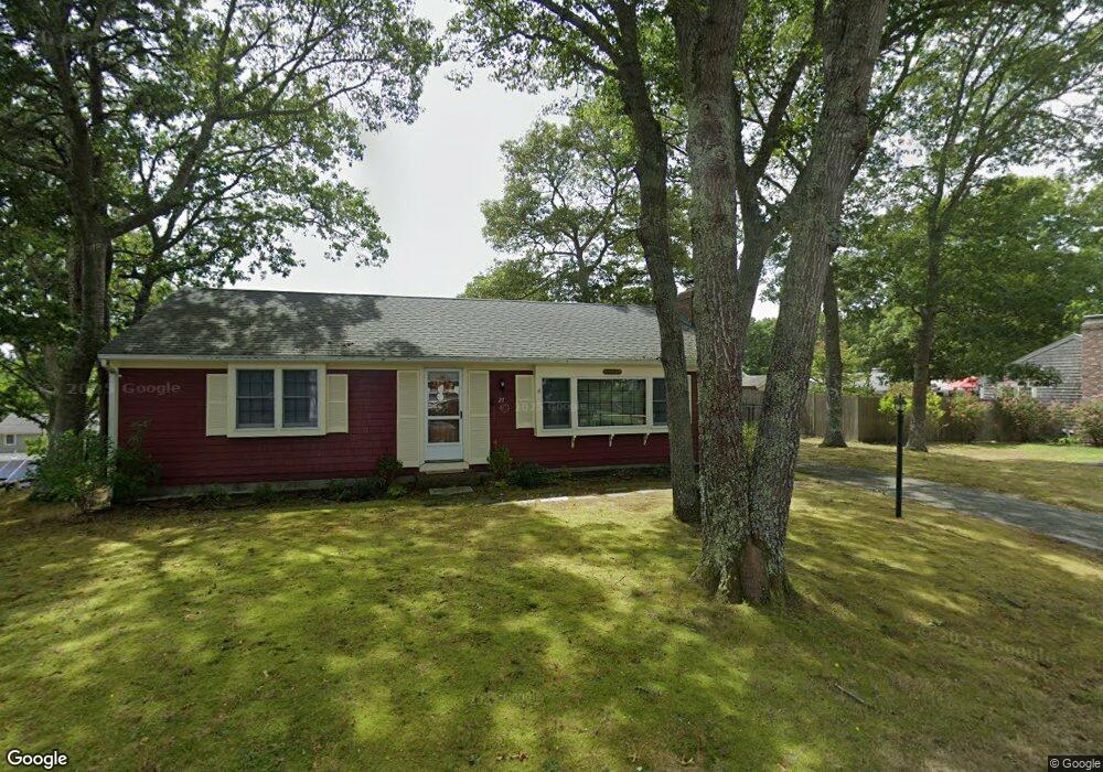
27 Uncle Bobs Way South Dennis, MA 02660
South Dennis NeighborhoodEstimated Value: $399,000 - $576,834
3
Beds
2
Baths
1,232
Sq Ft
$419/Sq Ft
Est. Value
About This Home
This home is located at 27 Uncle Bobs Way, South Dennis, MA 02660 and is currently estimated at $516,209, approximately $419 per square foot. 27 Uncle Bobs Way is a home located in Barnstable County with nearby schools including Dennis-Yarmouth Regional High School and St. Pius X. School.
Ownership History
Date
Name
Owned For
Owner Type
Purchase Details
Closed on
Dec 30, 1991
Sold by
Condon James W
Bought by
Bernard Andrea M
Current Estimated Value
Home Financials for this Owner
Home Financials are based on the most recent Mortgage that was taken out on this home.
Original Mortgage
$96,000
Interest Rate
8.62%
Mortgage Type
Purchase Money Mortgage
Create a Home Valuation Report for This Property
The Home Valuation Report is an in-depth analysis detailing your home's value as well as a comparison with similar homes in the area
Home Values in the Area
Average Home Value in this Area
Purchase History
| Date | Buyer | Sale Price | Title Company |
|---|---|---|---|
| Bernard Andrea M | $109,900 | -- |
Source: Public Records
Mortgage History
| Date | Status | Borrower | Loan Amount |
|---|---|---|---|
| Closed | Bernard Andrea M | $96,000 |
Source: Public Records
Tax History Compared to Growth
Tax History
| Year | Tax Paid | Tax Assessment Tax Assessment Total Assessment is a certain percentage of the fair market value that is determined by local assessors to be the total taxable value of land and additions on the property. | Land | Improvement |
|---|---|---|---|---|
| 2025 | $2,337 | $539,700 | $131,100 | $408,600 |
| 2024 | $2,236 | $509,400 | $126,100 | $383,300 |
| 2023 | $2,162 | $463,000 | $114,600 | $348,400 |
| 2022 | $2,076 | $370,700 | $114,700 | $256,000 |
| 2021 | $7,266 | $326,100 | $112,500 | $213,600 |
| 2020 | $1,868 | $306,200 | $112,500 | $193,700 |
| 2019 | $1,810 | $293,400 | $121,300 | $172,100 |
| 2018 | $6,594 | $261,500 | $105,000 | $156,500 |
| 2017 | $1,577 | $256,400 | $105,000 | $151,400 |
| 2016 | $1,544 | $236,500 | $110,200 | $126,300 |
| 2015 | $1,514 | $236,500 | $110,200 | $126,300 |
| 2014 | $1,402 | $220,800 | $94,500 | $126,300 |
Source: Public Records
Map
Nearby Homes
- 11 Uncle Stanleys Way
- 15 Captain Jud Rd
- 153 Bayridge Dr
- 4 Ebb Rd
- 17 Margate Ln
- 13 Covey Dr
- 118 Driftwood Ln
- 10 Joanne Dr
- 17 Fairmount Rd
- 17 Fairmount Rd
- 111 Merchant Ave
- 25 Skerry Rd
- 129 Driftwood Ln
- 7 Vinland Dr
- 32 Captain Walsh Dr
- 1 Norseman Dr
- 6 Nimble Hill Dr
- 59 Main St Unit 19-2
- 59 Route 6a Unit 29-4
- 62 Old Fish House Rd
- 23 Uncle Bobs Way
- 31 Uncle Bobs Way
- 38 Uncle Bob's
- 31 Uncle Bob's Way
- 28 Uncle Bills Way
- 22 Uncle Bills Way
- 30 Uncle Bobs Way
- 32 Uncle Bills Way
- 24 Uncle Bobs Way
- 37 Uncle Bobs Way
- 24 Uncle Bob's Way
- 34 Uncle Bobs Way
- 19 Uncle Bobs Way
- 18 Uncle Bills Way
- 36 Uncle Bills Way
- 20 Uncle Bobs Way
- 29 Uncle Stanleys Way
- 23 Uncle Bills Way
- 25 Uncle Stanleys Way
- 27 Uncle Bills Way