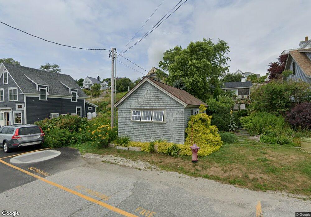
27 W Main St Stonington, ME 04681
Estimated Value: $473,000
--
Bed
--
Bath
3,400
Sq Ft
$139/Sq Ft
Est. Value
About This Home
This home is located at 27 W Main St, Stonington, ME 04681 and is currently estimated at $473,000, approximately $139 per square foot. 27 W Main St is a home located in Hancock County with nearby schools including Deer Isle-Stonington Elementary School, Deer Isle-Stonington High School, and The Heritage School.
Ownership History
Date
Name
Owned For
Owner Type
Purchase Details
Closed on
Oct 13, 2016
Sold by
Varisco Christopher E and Varisco Bozana F
Bought by
John Mcveigh Designs L
Current Estimated Value
Home Financials for this Owner
Home Financials are based on the most recent Mortgage that was taken out on this home.
Original Mortgage
$176,000
Outstanding Balance
$141,097
Interest Rate
3.46%
Mortgage Type
New Conventional
Estimated Equity
$331,903
Purchase Details
Closed on
Sep 25, 2015
Sold by
Varisco Christopher E and Varisco Bozana F
Bought by
Allen Mark C and Shapira Nancy H
Create a Home Valuation Report for This Property
The Home Valuation Report is an in-depth analysis detailing your home's value as well as a comparison with similar homes in the area
Home Values in the Area
Average Home Value in this Area
Purchase History
| Date | Buyer | Sale Price | Title Company |
|---|---|---|---|
| John Mcveigh Designs L | -- | -- | |
| Allen Mark C | -- | -- |
Source: Public Records
Mortgage History
| Date | Status | Borrower | Loan Amount |
|---|---|---|---|
| Open | John Mcveigh Designs L | $176,000 |
Source: Public Records
Tax History Compared to Growth
Tax History
| Year | Tax Paid | Tax Assessment Tax Assessment Total Assessment is a certain percentage of the fair market value that is determined by local assessors to be the total taxable value of land and additions on the property. | Land | Improvement |
|---|---|---|---|---|
| 2024 | $4,116 | $405,500 | $222,600 | $182,900 |
| 2023 | $3,479 | $223,600 | $148,400 | $75,200 |
| 2022 | $3,448 | $221,600 | $148,400 | $73,200 |
| 2021 | $3,479 | $221,600 | $148,400 | $73,200 |
| 2020 | $3,479 | $221,600 | $148,400 | $73,200 |
| 2019 | $3,523 | $221,600 | $148,400 | $73,200 |
| 2018 | $3,568 | $221,600 | $148,400 | $73,200 |
| 2017 | $3,570 | $221,600 | $148,400 | $73,200 |
| 2016 | $3,740 | $221,300 | $148,400 | $72,900 |
| 2015 | $3,855 | $224,800 | $148,700 | $76,100 |
| 2014 | $3,394 | $224,800 | $148,700 | $76,100 |
| 2013 | $3,188 | $224,800 | $148,700 | $76,100 |
Source: Public Records
Map
Nearby Homes
- 51 Main St Unit A
- 68 Main St Unit 3
- 36 Green Head Rd
- 12-4 S Burnt Cove Rd
- 12-2 S Burnt Cove Rd
- 12-1 S Burnt Cove Rd
- 102 S Burnt Cove Rd
- 12-3 S Burnt Cove Rd
- 176 N Main St
- 18 Davids Way
- 32 Burnt Cove Rd
- 17 Barbour Farm Rd
- 145 Stanley Field Rd
- 643 Sunset Rd
- M3L66&66-2 Sunset Cross Rd
- 191 Sunset Cross Rd
- 27 Spofford Dr
- 3-11-G Cat Cove Rd
- 36 Treasure Ln
- 293 Sunset Rd