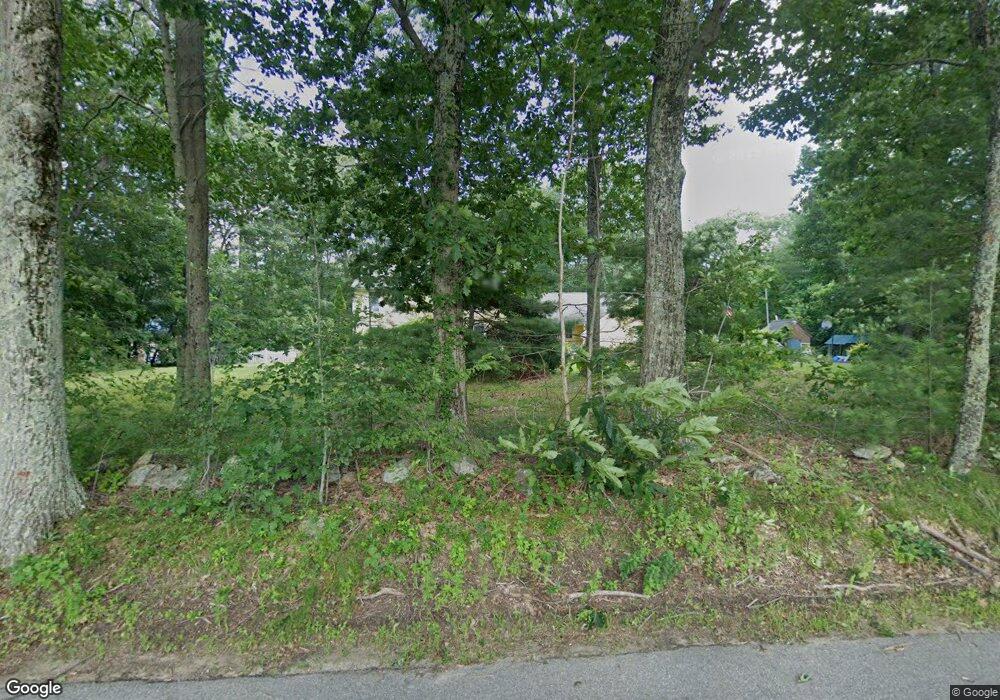
27 Walnut St Rutland, MA 01543
Estimated Value: $625,000 - $744,000
3
Beds
3
Baths
2,500
Sq Ft
$271/Sq Ft
Est. Value
About This Home
This home is located at 27 Walnut St, Rutland, MA 01543 and is currently estimated at $677,219, approximately $270 per square foot. 27 Walnut St is a home located in Worcester County with nearby schools including Wachusett Regional High School.
Create a Home Valuation Report for This Property
The Home Valuation Report is an in-depth analysis detailing your home's value as well as a comparison with similar homes in the area
Home Values in the Area
Average Home Value in this Area
Tax History Compared to Growth
Tax History
| Year | Tax Paid | Tax Assessment Tax Assessment Total Assessment is a certain percentage of the fair market value that is determined by local assessors to be the total taxable value of land and additions on the property. | Land | Improvement |
|---|---|---|---|---|
| 2025 | $8,189 | $575,100 | $100,300 | $474,800 |
| 2024 | $8,312 | $560,500 | $96,200 | $464,300 |
| 2023 | $7,661 | $558,400 | $90,900 | $467,500 |
| 2022 | $7,162 | $453,600 | $77,200 | $376,400 |
| 2021 | $7,051 | $422,200 | $77,200 | $345,000 |
| 2020 | $7,053 | $400,500 | $73,400 | $327,100 |
| 2019 | $7,154 | $399,900 | $70,000 | $329,900 |
| 2018 | $6,851 | $377,900 | $70,000 | $307,900 |
| 2017 | $6,923 | $377,900 | $70,000 | $307,900 |
| 2016 | $6,246 | $359,600 | $66,700 | $292,900 |
| 2015 | $6,155 | $348,700 | $66,700 | $282,000 |
| 2014 | $5,966 | $348,700 | $66,700 | $282,000 |
Source: Public Records
Map
Nearby Homes
- 176 Maple Ave Unit 1-38
- 176 Maple Ave Unit 3-25
- 176 Maple Ave Unit 2-26
- 189 Maple Ave
- 14 Welch Ave Unit A
- 7 Emerald Rd
- 236 Turkey Hill Rd
- 7 Prescott St
- 7 Victoria Ave
- 4 Wilson Way
- 132 Fidelity Dr Unit 61
- 12 Fidelity Dr Unit 6
- 10 Fidelity Dr Unit 5
- 2 Kosta Ave
- 85 Maple Ave Unit A
- 2 Forest Hill Dr
- 21 Highland Park Rd
- 43 Irish Ln
- 37 Irish Ln
- 39 Irish Ln
