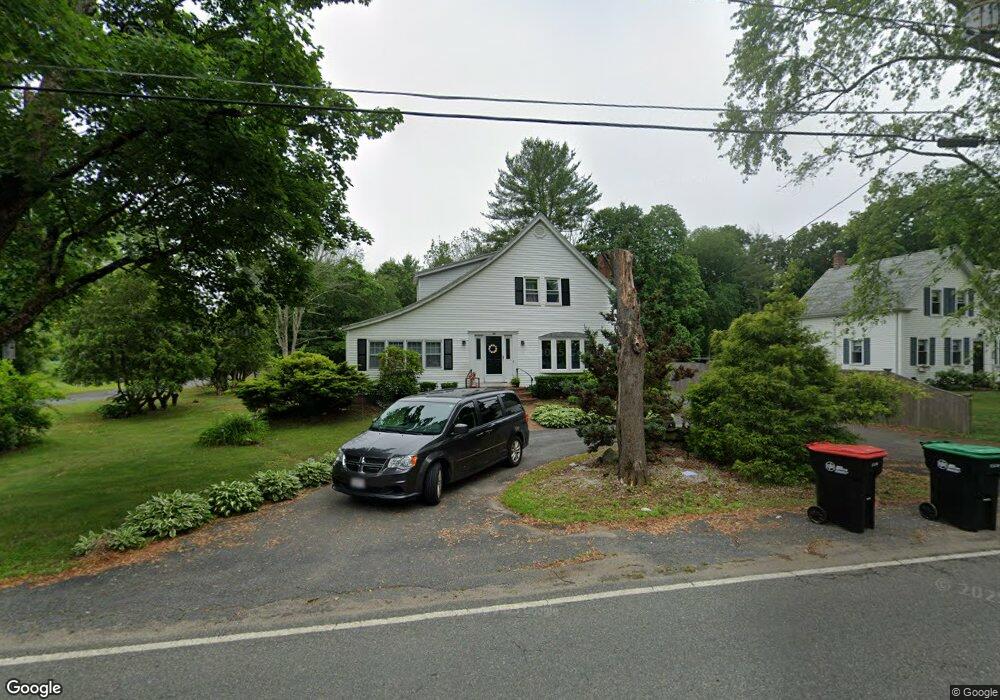
27 Walnut St West Bridgewater, MA 02379
Estimated Value: $447,000 - $654,000
3
Beds
2
Baths
1,448
Sq Ft
$389/Sq Ft
Est. Value
About This Home
This home is located at 27 Walnut St, West Bridgewater, MA 02379 and is currently estimated at $562,635, approximately $388 per square foot. 27 Walnut St is a home located in Plymouth County with nearby schools including Spring Street Elementary School, Rose L. MacDonald Elementary School, and Howard Elementary School.
Ownership History
Date
Name
Owned For
Owner Type
Purchase Details
Closed on
May 28, 2021
Sold by
Campodonico Aldo
Bought by
Pearson Camille M and Person Michael E
Current Estimated Value
Home Financials for this Owner
Home Financials are based on the most recent Mortgage that was taken out on this home.
Original Mortgage
$417,100
Outstanding Balance
$378,219
Interest Rate
3%
Mortgage Type
Purchase Money Mortgage
Estimated Equity
$184,416
Purchase Details
Closed on
Dec 16, 2003
Sold by
Manchester Irt and Pierce Deborah R
Bought by
Campodonico Aldo
Create a Home Valuation Report for This Property
The Home Valuation Report is an in-depth analysis detailing your home's value as well as a comparison with similar homes in the area
Home Values in the Area
Average Home Value in this Area
Purchase History
| Date | Buyer | Sale Price | Title Company |
|---|---|---|---|
| Pearson Camille M | $430,000 | None Available | |
| Campodonico Aldo | $315,000 | -- |
Source: Public Records
Mortgage History
| Date | Status | Borrower | Loan Amount |
|---|---|---|---|
| Open | Pearson Camille M | $417,100 | |
| Previous Owner | Campodonico Aldo | $279,000 | |
| Previous Owner | Campodonico Aldo | $286,400 | |
| Previous Owner | Campodonico Aldo | $13,600 |
Source: Public Records
Tax History Compared to Growth
Tax History
| Year | Tax Paid | Tax Assessment Tax Assessment Total Assessment is a certain percentage of the fair market value that is determined by local assessors to be the total taxable value of land and additions on the property. | Land | Improvement |
|---|---|---|---|---|
| 2025 | $6,534 | $478,000 | $209,300 | $268,700 |
| 2024 | $6,212 | $438,400 | $189,700 | $248,700 |
| 2023 | $5,764 | $375,000 | $164,300 | $210,700 |
| 2022 | $5,366 | $330,800 | $154,500 | $176,300 |
| 2021 | $5,422 | $324,500 | $154,500 | $170,000 |
| 2020 | $5,312 | $324,500 | $154,500 | $170,000 |
| 2019 | $5,364 | $324,500 | $154,500 | $170,000 |
| 2018 | $5,243 | $306,600 | $146,700 | $159,900 |
| 2017 | $5,034 | $283,900 | $133,000 | $150,900 |
| 2016 | $4,941 | $274,500 | $123,600 | $150,900 |
| 2015 | $4,889 | $274,500 | $123,600 | $150,900 |
| 2014 | $4,485 | $272,000 | $123,600 | $148,400 |
Source: Public Records
Map
Nearby Homes
- 63 Pine St
- 24 Pine St
- 741 Washington St Unit 7
- 66 Depot St
- 165 Pine Street (23 Lili Way)
- 20 Church St
- 4 County Ln
- 13 Welch Rd Unit 13
- 40 Bristol Dr
- 305 Turnpike St Unit 26 2nd St
- 305 Turnpike St=237 5th St Unit 237
- 23 Windchime Rd
- 6 Beatty Ln
- 21 Scotch Dam Rd
- 27 Short St
- 15 Scotch Dam Rd
- 26 Short St
- 6 Indian Cove Way Unit 6
- 5 Indian Cove Way Unit 5
- 24 Eisenhower Dr