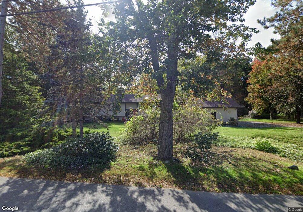
27 Waltham Rd Wayland, MA 01778
Estimated Value: $819,000 - $1,477,000
1
Bed
2
Baths
1,484
Sq Ft
$774/Sq Ft
Est. Value
About This Home
This home is located at 27 Waltham Rd, Wayland, MA 01778 and is currently estimated at $1,148,215, approximately $773 per square foot. 27 Waltham Rd is a home located in Middlesex County with nearby schools including Wayland High School, Corwin-Russell School at Broccoli Hall, and The Cambridge School Of Weston.
Ownership History
Date
Name
Owned For
Owner Type
Purchase Details
Closed on
Mar 21, 2013
Sold by
Peterson Thomas G and Vodvarka Janet
Bought by
Thomas G Peterson Ret and Peterson Thomas G
Current Estimated Value
Purchase Details
Closed on
Dec 17, 1997
Sold by
Harris Margery
Bought by
Peterson Thomas G and Vodvarka Janet
Home Financials for this Owner
Home Financials are based on the most recent Mortgage that was taken out on this home.
Original Mortgage
$328,000
Interest Rate
7.14%
Mortgage Type
Purchase Money Mortgage
Create a Home Valuation Report for This Property
The Home Valuation Report is an in-depth analysis detailing your home's value as well as a comparison with similar homes in the area
Home Values in the Area
Average Home Value in this Area
Purchase History
| Date | Buyer | Sale Price | Title Company |
|---|---|---|---|
| Thomas G Peterson Ret | -- | -- | |
| Peterson Thomas G | $410,000 | -- |
Source: Public Records
Mortgage History
| Date | Status | Borrower | Loan Amount |
|---|---|---|---|
| Previous Owner | Peterson Thomas G | $285,000 | |
| Previous Owner | Peterson Thomas G | $328,000 |
Source: Public Records
Tax History Compared to Growth
Tax History
| Year | Tax Paid | Tax Assessment Tax Assessment Total Assessment is a certain percentage of the fair market value that is determined by local assessors to be the total taxable value of land and additions on the property. | Land | Improvement |
|---|---|---|---|---|
| 2025 | $16,311 | $1,043,600 | $585,400 | $458,200 |
| 2024 | $15,765 | $1,015,800 | $557,600 | $458,200 |
| 2023 | $15,300 | $918,900 | $508,000 | $410,900 |
| 2022 | $14,618 | $796,600 | $423,100 | $373,500 |
| 2021 | $13,975 | $754,600 | $386,000 | $368,600 |
| 2020 | $13,801 | $777,100 | $386,000 | $391,100 |
| 2019 | $13,141 | $718,900 | $368,300 | $350,600 |
| 2018 | $11,682 | $647,900 | $368,300 | $279,600 |
| 2017 | $10,284 | $566,900 | $350,500 | $216,400 |
| 2016 | $9,877 | $569,600 | $343,700 | $225,900 |
| 2015 | $10,265 | $558,200 | $343,700 | $214,500 |
Source: Public Records
Map
Nearby Homes
- 93 Old Sudbury Rd
- 236 Lincoln Rd
- 244 Lincoln Rd
- 12 Pine Ridge Rd
- 224 Aspen Cir
- 134 Chestnut Cir
- 15 Lewis Path
- 448 & 454 Concord Rd
- 11 Grove St
- 25 Birchwood Ln
- 49 Birchwood Ln Unit 49
- 130 Tower Rd
- 156 Cherry Brook Rd
- 3 Clifford Ln
- 99 Tower Rd
- 6 Clifford Ln
- 50 3 Ponds Rd
- 33 Old Concord Rd
- 44 Baker Bridge Rd
- 75 Westland Rd