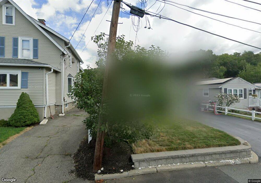
27 Wampum Ave Waltham, MA 02451
Lakeview NeighborhoodEstimated Value: $670,579 - $800,000
3
Beds
1
Bath
1,328
Sq Ft
$553/Sq Ft
Est. Value
About This Home
This home is located at 27 Wampum Ave, Waltham, MA 02451 and is currently estimated at $734,645, approximately $553 per square foot. 27 Wampum Ave is a home located in Middlesex County with nearby schools including Douglas Macarthur Elementary School, John F Kennedy Middle School, and Waltham Sr High School.
Ownership History
Date
Name
Owned For
Owner Type
Purchase Details
Closed on
Oct 12, 2007
Sold by
Coady Kenneth M and Coady Rosanne
Bought by
Philpott Crystal L
Current Estimated Value
Home Financials for this Owner
Home Financials are based on the most recent Mortgage that was taken out on this home.
Original Mortgage
$325,000
Outstanding Balance
$205,861
Interest Rate
6.49%
Mortgage Type
Purchase Money Mortgage
Estimated Equity
$528,784
Purchase Details
Closed on
Oct 24, 2002
Sold by
Breault Richard A
Bought by
Coady Kenneth M
Home Financials for this Owner
Home Financials are based on the most recent Mortgage that was taken out on this home.
Original Mortgage
$247,900
Interest Rate
6.2%
Mortgage Type
Purchase Money Mortgage
Purchase Details
Closed on
May 21, 1999
Sold by
Spellman Michael T and Spellman Mary B
Bought by
Breault Richard A
Home Financials for this Owner
Home Financials are based on the most recent Mortgage that was taken out on this home.
Original Mortgage
$160,000
Interest Rate
6.88%
Mortgage Type
Purchase Money Mortgage
Create a Home Valuation Report for This Property
The Home Valuation Report is an in-depth analysis detailing your home's value as well as a comparison with similar homes in the area
Home Values in the Area
Average Home Value in this Area
Purchase History
| Date | Buyer | Sale Price | Title Company |
|---|---|---|---|
| Philpott Crystal L | $331,000 | -- | |
| Coady Kenneth M | $309,900 | -- | |
| Breault Richard A | $181,000 | -- |
Source: Public Records
Mortgage History
| Date | Status | Borrower | Loan Amount |
|---|---|---|---|
| Open | Philpott Crystal L | $325,000 | |
| Previous Owner | Breault Richard A | $247,900 | |
| Previous Owner | Breault Richard A | $160,000 |
Source: Public Records
Tax History Compared to Growth
Tax History
| Year | Tax Paid | Tax Assessment Tax Assessment Total Assessment is a certain percentage of the fair market value that is determined by local assessors to be the total taxable value of land and additions on the property. | Land | Improvement |
|---|---|---|---|---|
| 2025 | $5,315 | $541,200 | $326,500 | $214,700 |
| 2024 | $5,037 | $522,500 | $311,000 | $211,500 |
| 2023 | $5,010 | $485,500 | $283,900 | $201,600 |
| 2022 | $5,019 | $450,500 | $256,900 | $193,600 |
| 2021 | $11,924 | $438,100 | $256,900 | $181,200 |
| 2020 | $4,896 | $409,700 | $243,400 | $166,300 |
| 2019 | $4,717 | $372,600 | $229,300 | $143,300 |
| 2018 | $6,257 | $338,400 | $212,300 | $126,100 |
| 2017 | $4,004 | $318,800 | $192,700 | $126,100 |
| 2016 | $3,744 | $305,900 | $179,800 | $126,100 |
| 2015 | $3,768 | $287,000 | $169,000 | $118,000 |
Source: Public Records
Map
Nearby Homes
- 30 Wampum Ave
- 129 Lake St
- 14 Piedmont Ave
- 234 Lake St
- 65 Montclair Ave
- 249 Lake St
- 98 Seminole Ave
- 28 Hillcrest St
- 30 Jacqueline Rd Unit C
- 44 Sachem St
- 28 College Farm Rd Unit 2
- 463 Lincoln St
- 15 Kings Way Unit 25
- 92 Milner St
- 102 Milner St
- 11 Autumn Ln
- 1105 Lexington St Unit 102
- 15 Cedarcroft Ln
- 16 Winter St Unit 26C
- 511 Lexington St