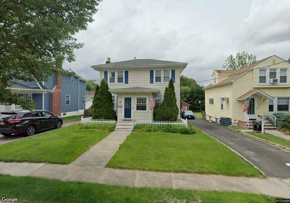
27 Warner Ave Springfield, NJ 07081
Estimated Value: $536,144 - $623,000
Studio
--
Bath
1,438
Sq Ft
$404/Sq Ft
Est. Value
About This Home
This home is located at 27 Warner Ave, Springfield, NJ 07081 and is currently estimated at $580,536, approximately $403 per square foot. 27 Warner Ave is a home located in Union County with nearby schools including Jonathan Dayton High School and St James The Apostle School.
Ownership History
Date
Name
Owned For
Owner Type
Purchase Details
Closed on
Aug 12, 2004
Sold by
Vogelaar Jacob
Bought by
Miller Scott and Miller Christine
Current Estimated Value
Home Financials for this Owner
Home Financials are based on the most recent Mortgage that was taken out on this home.
Original Mortgage
$271,920
Outstanding Balance
$134,931
Interest Rate
6.01%
Estimated Equity
$445,605
Purchase Details
Closed on
Jul 22, 1998
Sold by
Vogelaar Jacob and Vanderbrink Rebekah
Bought by
Vogelaar Jacob and Vogelaar Rebekah
Home Financials for this Owner
Home Financials are based on the most recent Mortgage that was taken out on this home.
Original Mortgage
$150,000
Interest Rate
6.92%
Purchase Details
Closed on
Feb 28, 1997
Sold by
Cubukcu Timucin and Cubukcu Patricia
Bought by
Vogelaar Jacob and Vanderbrink Rebekah
Home Financials for this Owner
Home Financials are based on the most recent Mortgage that was taken out on this home.
Original Mortgage
$148,000
Interest Rate
7.77%
Create a Home Valuation Report for This Property
The Home Valuation Report is an in-depth analysis detailing your home's value as well as a comparison with similar homes in the area
Home Values in the Area
Average Home Value in this Area
Purchase History
| Date | Buyer | Sale Price | Title Company |
|---|---|---|---|
| Miller Scott | $339,900 | -- | |
| Vogelaar Jacob | -- | -- | |
| Vogelaar Jacob | $170,000 | -- |
Source: Public Records
Mortgage History
| Date | Status | Borrower | Loan Amount |
|---|---|---|---|
| Open | Miller Scott | $271,920 | |
| Previous Owner | Vogelaar Jacob | $150,000 | |
| Previous Owner | Vogelaar Jacob | $148,000 |
Source: Public Records
Tax History
| Year | Tax Paid | Tax Assessment Tax Assessment Total Assessment is a certain percentage of the fair market value that is determined by local assessors to be the total taxable value of land and additions on the property. | Land | Improvement |
|---|---|---|---|---|
| 2025 | $10,160 | $427,800 | $168,300 | $259,500 |
| 2024 | $9,993 | $427,800 | $168,300 | $259,500 |
| 2023 | $9,993 | $427,800 | $168,300 | $259,500 |
| 2022 | $9,279 | $427,800 | $168,300 | $259,500 |
| 2021 | $8,011 | $107,600 | $56,700 | $50,900 |
| 2020 | $7,886 | $107,600 | $56,700 | $50,900 |
| 2019 | $7,779 | $107,600 | $56,700 | $50,900 |
| 2018 | $7,640 | $107,600 | $56,700 | $50,900 |
| 2017 | $7,430 | $107,600 | $56,700 | $50,900 |
| 2016 | $7,286 | $107,600 | $56,700 | $50,900 |
| 2015 | $7,201 | $107,600 | $56,700 | $50,900 |
| 2014 | $7,065 | $107,600 | $56,700 | $50,900 |
Source: Public Records
Map
Nearby Homes
- 17 Alvin Terrace
- 20 Maple Ave
- 67 Battle Hill Ave
- 105 Battle Hill Ave
- 2785 Larchmont Rd
- 1042 Battle Hill Terrace
- 238 Riverside Dr
- 298 Main St
- 270 Main St Unit D
- 960 Moessner Ave
- 2853 Allen Ave
- 2766 Alice Terrace
- 1065 Liberty Ave
- 148 Locust Dr
- 750 Andover Rd
- 8 Willow St
- 221 Main St
- 7 Willow St
- 24 Brook St
- 2659 Hawthorne Ave
Your Personal Tour Guide
Ask me questions while you tour the home.