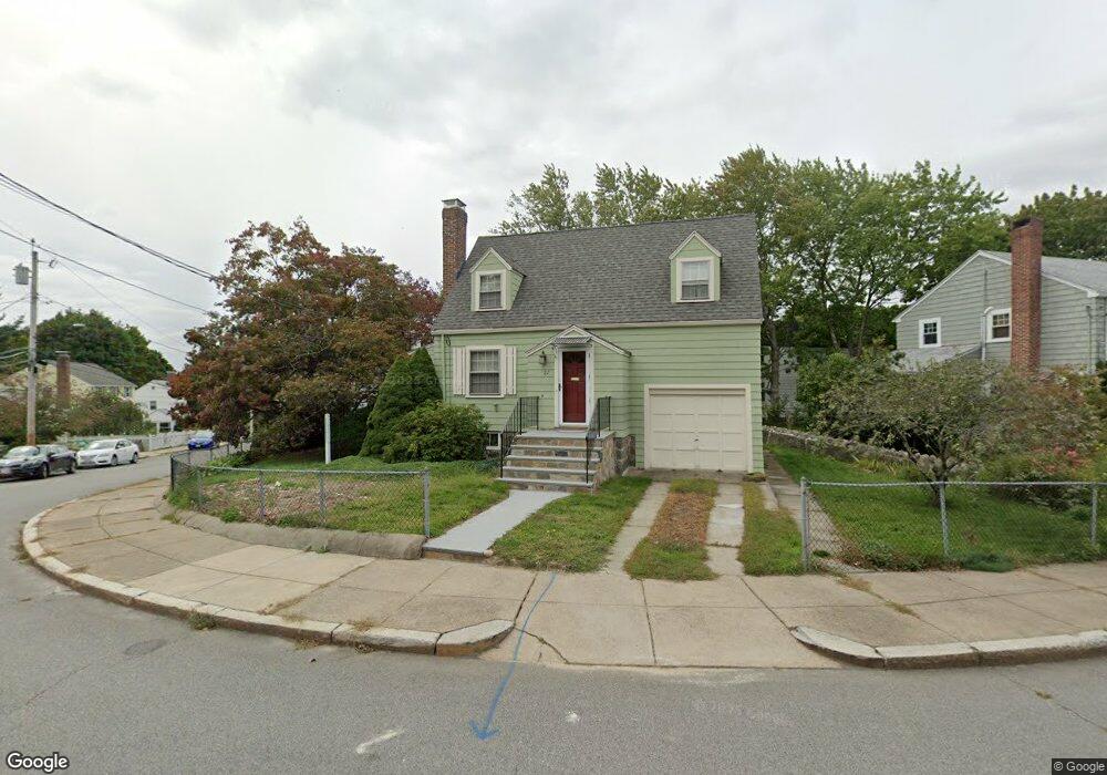
27 Wayburn Rd Jamaica Plain, MA 02130
Jamaica Plain NeighborhoodEstimated Value: $600,000 - $807,000
2
Beds
1
Bath
980
Sq Ft
$719/Sq Ft
Est. Value
About This Home
This home is located at 27 Wayburn Rd, Jamaica Plain, MA 02130 and is currently estimated at $704,748, approximately $719 per square foot. 27 Wayburn Rd is a home located in Suffolk County with nearby schools including Brooke Charter School Roslindale, The Croft School - Jamaica Plain, and St. Clare High School.
Ownership History
Date
Name
Owned For
Owner Type
Purchase Details
Closed on
Mar 23, 1994
Sold by
Eskew Arthur
Bought by
Meehan Mary E
Current Estimated Value
Purchase Details
Closed on
Nov 9, 1992
Sold by
Martin Raymond F and Martin Sandra T
Bought by
Eskew Arthur
Home Financials for this Owner
Home Financials are based on the most recent Mortgage that was taken out on this home.
Original Mortgage
$111,600
Interest Rate
7.99%
Mortgage Type
Purchase Money Mortgage
Purchase Details
Closed on
Jan 13, 1987
Sold by
Est Annette M Havey
Bought by
Martin Raymond F
Home Financials for this Owner
Home Financials are based on the most recent Mortgage that was taken out on this home.
Original Mortgage
$93,250
Interest Rate
9.49%
Mortgage Type
Purchase Money Mortgage
Create a Home Valuation Report for This Property
The Home Valuation Report is an in-depth analysis detailing your home's value as well as a comparison with similar homes in the area
Home Values in the Area
Average Home Value in this Area
Purchase History
| Date | Buyer | Sale Price | Title Company |
|---|---|---|---|
| Meehan Mary E | $132,000 | -- | |
| Eskew Arthur | $124,000 | -- | |
| Martin Raymond F | $116,600 | -- |
Source: Public Records
Mortgage History
| Date | Status | Borrower | Loan Amount |
|---|---|---|---|
| Previous Owner | Eskew Arthur | $111,600 | |
| Previous Owner | Martin Raymond F | $93,250 |
Source: Public Records
Tax History Compared to Growth
Tax History
| Year | Tax Paid | Tax Assessment Tax Assessment Total Assessment is a certain percentage of the fair market value that is determined by local assessors to be the total taxable value of land and additions on the property. | Land | Improvement |
|---|---|---|---|---|
| 2025 | $7,176 | $619,700 | $194,100 | $425,600 |
| 2024 | $6,537 | $599,700 | $198,500 | $401,200 |
| 2023 | $6,017 | $560,200 | $185,400 | $374,800 |
| 2022 | $5,591 | $513,900 | $170,100 | $343,800 |
| 2021 | $5,323 | $498,900 | $165,100 | $333,800 |
| 2020 | $4,723 | $447,300 | $162,400 | $284,900 |
| 2019 | $4,491 | $426,100 | $132,800 | $293,300 |
| 2018 | $3,987 | $380,400 | $132,800 | $247,600 |
| 2017 | $3,950 | $373,000 | $132,800 | $240,200 |
| 2016 | $4,023 | $365,700 | $132,800 | $232,900 |
| 2015 | $4,130 | $341,000 | $140,000 | $201,000 |
| 2014 | $3,756 | $298,600 | $140,000 | $158,600 |
Source: Public Records
Map
Nearby Homes
- 50 Southbourne Rd
- 31 Rodman St Unit 2
- 31 Rodman St Unit 1
- 24 Waterman Rd
- 18-20 Northbourne Rd Unit 18
- 602 Canterbury St Unit 14
- 602 Canterbury St Unit 4
- 602 Canterbury St Unit 5
- 602 Canterbury St Unit 2
- 602 Canterbury St Unit 9
- 105 Neponset Ave Unit 105
- 348-350 Hyde Park Ave Unit 2
- 71 Wyvern St
- 103 Neponset Ave Unit 103A
- 103-105 Neponset Ave
- 158 Wachusett St Unit 3
- 140 Wachusett St
- 36 Neponset Ave Unit 1
- 579 American Legion Hwy
- 577-579 American Legion Hwy