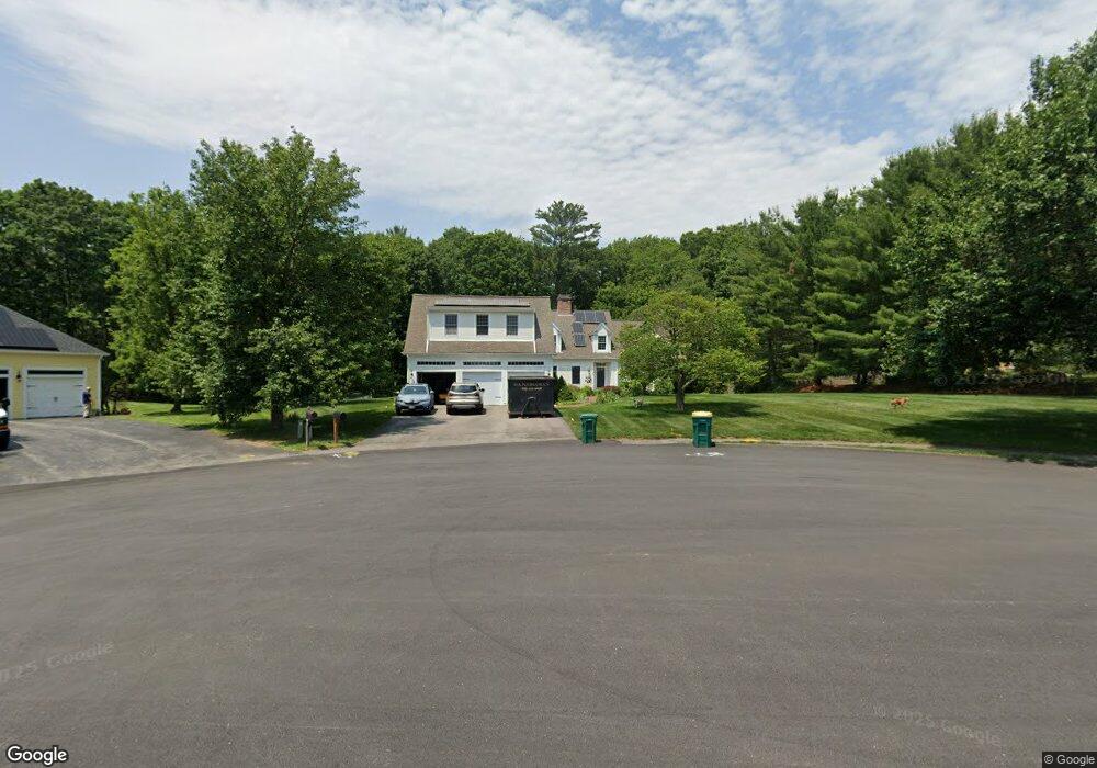
27 Wenlock Cir North Easton, MA 02356
Estimated Value: $1,024,000 - $1,216,000
4
Beds
4
Baths
3,437
Sq Ft
$338/Sq Ft
Est. Value
About This Home
This home is located at 27 Wenlock Cir, North Easton, MA 02356 and is currently estimated at $1,160,645, approximately $337 per square foot. 27 Wenlock Cir is a home located in Bristol County with nearby schools including Easton Middle School and St Mary's Catholic School.
Ownership History
Date
Name
Owned For
Owner Type
Purchase Details
Closed on
Sep 30, 1994
Sold by
Tenney Charles H and Tenney Constance C
Bought by
Pereira Stephen R and F Clifford Pereira V
Current Estimated Value
Create a Home Valuation Report for This Property
The Home Valuation Report is an in-depth analysis detailing your home's value as well as a comparison with similar homes in the area
Home Values in the Area
Average Home Value in this Area
Purchase History
| Date | Buyer | Sale Price | Title Company |
|---|---|---|---|
| Pereira Stephen R | $400,000 | -- | |
| Pereira Stephen R | $400,000 | -- |
Source: Public Records
Mortgage History
| Date | Status | Borrower | Loan Amount |
|---|---|---|---|
| Open | Pereira Stephen R | $177,000 | |
| Closed | Pereira Stephen R | $40,000 |
Source: Public Records
Tax History Compared to Growth
Tax History
| Year | Tax Paid | Tax Assessment Tax Assessment Total Assessment is a certain percentage of the fair market value that is determined by local assessors to be the total taxable value of land and additions on the property. | Land | Improvement |
|---|---|---|---|---|
| 2025 | $13,619 | $1,091,300 | $438,300 | $653,000 |
| 2024 | $13,633 | $1,021,200 | $370,200 | $651,000 |
| 2023 | $12,925 | $885,900 | $351,600 | $534,300 |
| 2022 | $12,497 | $812,000 | $292,100 | $519,900 |
| 2021 | $12,156 | $785,300 | $265,400 | $519,900 |
| 2020 | $11,781 | $766,000 | $265,400 | $500,600 |
| 2019 | $12,208 | $764,900 | $265,400 | $499,500 |
| 2018 | $11,968 | $738,300 | $270,300 | $468,000 |
| 2017 | $11,378 | $701,500 | $270,300 | $431,200 |
| 2016 | $11,553 | $713,600 | $287,700 | $425,900 |
| 2015 | $10,499 | $625,700 | $237,900 | $387,800 |
| 2014 | $10,436 | $626,800 | $234,200 | $392,600 |
Source: Public Records
Map
Nearby Homes
- 89 Massapoag Ave
- 98 Massapoag Ave
- 218 Massapoag Ave
- 6 Kingsley Rd
- 260 Massapoag Ave
- 29 Owl Ridge Rd
- 37 Kingsley Rd
- 3 Nicole Rd
- 15 Randall Farm Dr
- 45 Randall St
- 1 Whittier Ln Unit 1
- 79 Summer St
- 18 Prudence Crandall Ln Unit 18
- 73 Summer St
- 34 Kevins Way
- 23 Estelle Marsan Dr
- 4 Eagle Rock Rd
- 4 Plantation Rd
- 30 King Arthur Rd
- 9 Oak Ridge Dr
- 23 Wenlock Cir
- 31 Wenlock Cir
- 19 Wenlock Cir
- 24 Wenlock Cir
- 20 Wenlock Cir Hillington Estates
- 20 Wenlock Cir
- 20 Copperfield Ave
- 36 Hillington Dr
- 32 Hillington Dr
- 9 Wenlock Cir
- 16 Copperfield Ave
- 10 Wenlock Cir
- 2 Squantum Ave
- 28 Hillington Dr
- 12 Copperfield Ave
- 5 Wenlock Cir
- 33 Hillington Dr
- 6 Wenlock Cir
- 24 Hillington Dr
- 4 Squantum Ave