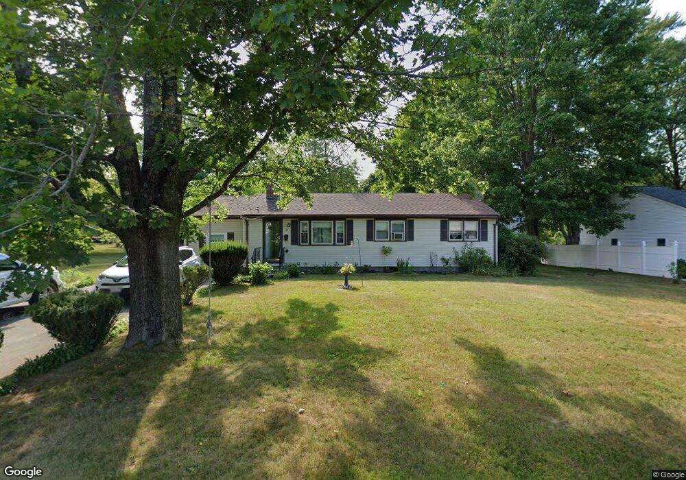
27 Wesson Rd Ashland, MA 01721
Estimated Value: $587,046 - $668,000
3
Beds
1
Bath
1,298
Sq Ft
$472/Sq Ft
Est. Value
About This Home
This home is located at 27 Wesson Rd, Ashland, MA 01721 and is currently estimated at $612,762, approximately $472 per square foot. 27 Wesson Rd is a home located in Middlesex County with nearby schools including William Pittaway Elementary School, Henry E. Warren Elementary School, and David Mindess Elementary School.
Ownership History
Date
Name
Owned For
Owner Type
Purchase Details
Closed on
Oct 9, 2013
Sold by
Mespelli Mary E
Bought by
Wesson Road Rt
Current Estimated Value
Purchase Details
Closed on
Oct 19, 1995
Sold by
Mespelli Ernest J and Mespelli Mary E
Bought by
Mespelli Mary E
Create a Home Valuation Report for This Property
The Home Valuation Report is an in-depth analysis detailing your home's value as well as a comparison with similar homes in the area
Home Values in the Area
Average Home Value in this Area
Purchase History
| Date | Buyer | Sale Price | Title Company |
|---|---|---|---|
| Wesson Road Rt | -- | -- | |
| Mespelli Mary E | $10,000 | -- |
Source: Public Records
Tax History
| Year | Tax Paid | Tax Assessment Tax Assessment Total Assessment is a certain percentage of the fair market value that is determined by local assessors to be the total taxable value of land and additions on the property. | Land | Improvement |
|---|---|---|---|---|
| 2025 | $6,880 | $538,800 | $252,500 | $286,300 |
| 2024 | $6,803 | $513,800 | $252,500 | $261,300 |
| 2023 | $6,322 | $459,100 | $240,500 | $218,600 |
| 2022 | $6,490 | $408,700 | $218,600 | $190,100 |
| 2021 | $6,149 | $386,000 | $218,600 | $167,400 |
| 2020 | $5,926 | $366,700 | $223,100 | $143,600 |
| 2019 | $5,716 | $351,100 | $223,100 | $128,000 |
| 2018 | $5,573 | $335,500 | $221,000 | $114,500 |
| 2017 | $5,443 | $325,900 | $221,000 | $104,900 |
| 2016 | $5,229 | $307,600 | $218,100 | $89,500 |
| 2015 | $4,929 | $284,900 | $205,600 | $79,300 |
| 2014 | $4,817 | $277,000 | $182,300 | $94,700 |
Source: Public Records
Map
Nearby Homes
- 20 Mulhall Dr
- 158 Algonquin Trail
- 140 Algonquin Trail
- 37 James Rd
- 45 Half Crown Cir
- 437 America Blvd Unit 437
- 102 Captain Eames Cir
- 2 Arrowhead Cir Unit 2
- 15 Bates Rd
- 116 Waverly St
- 24 Bates Rd
- 15 Bellmore Rd
- 45 Daytona Ave
- 131 Mellen St Unit 3B
- 768 Waverley St
- 69 Gilbert St
- 10 Rhubena St
- 207 Eliot St
- 9 Adams Rd
- 1 Adams Rd
Your Personal Tour Guide
Ask me questions while you tour the home.