27 Westcustogo Point Yarmouth, ME 04096
Estimated Value: $1,266,000 - $1,615,000
5
Beds
4
Baths
3,010
Sq Ft
$495/Sq Ft
Est. Value
About This Home
This home is located at 27 Westcustogo Point, Yarmouth, ME 04096 and is currently estimated at $1,491,172, approximately $495 per square foot. 27 Westcustogo Point is a home located in Cumberland County with nearby schools including William H. Rowe School, Yarmouth Elementary School, and Frank H. Harrison Middle School.
Ownership History
Date
Name
Owned For
Owner Type
Purchase Details
Closed on
Nov 24, 2017
Sold by
Grondin Bette J
Bought by
Bette Jane Grondin T
Current Estimated Value
Purchase Details
Closed on
Nov 17, 2017
Sold by
Philip H Grondin T
Bought by
Grondin Bette J
Purchase Details
Closed on
Oct 5, 2017
Sold by
Grondin Bette J
Bought by
Philip H Grondin T
Purchase Details
Closed on
Sep 20, 2017
Sold by
Bette J Grondin T
Bought by
Grondin Bette J
Purchase Details
Closed on
Feb 14, 2014
Sold by
Grondin Philip H
Bought by
Philip H Grondin T
Create a Home Valuation Report for This Property
The Home Valuation Report is an in-depth analysis detailing your home's value as well as a comparison with similar homes in the area
Home Values in the Area
Average Home Value in this Area
Purchase History
| Date | Buyer | Sale Price | Title Company |
|---|---|---|---|
| Bette Jane Grondin T | -- | -- | |
| Grondin Bette J | -- | -- | |
| Philip H Grondin T | -- | -- | |
| Grondin Bette J | -- | -- | |
| Philip H Grondin T | -- | -- | |
| Philip H Grondin T | -- | -- | |
| Bette J Grondin T | -- | -- | |
| Bette J Grondin T | -- | -- |
Source: Public Records
Tax History Compared to Growth
Tax History
| Year | Tax Paid | Tax Assessment Tax Assessment Total Assessment is a certain percentage of the fair market value that is determined by local assessors to be the total taxable value of land and additions on the property. | Land | Improvement |
|---|---|---|---|---|
| 2024 | $22,117 | $861,600 | $593,000 | $268,600 |
| 2023 | $20,282 | $861,600 | $593,000 | $268,600 |
| 2022 | $18,628 | $861,600 | $593,000 | $268,600 |
| 2021 | $17,060 | $861,600 | $593,000 | $268,600 |
| 2020 | $16,887 | $861,600 | $593,000 | $268,600 |
| 2019 | $16,250 | $861,600 | $593,000 | $268,600 |
| 2018 | $15,297 | $859,400 | $593,000 | $266,400 |
| 2017 | $3,039 | $859,400 | $593,000 | $266,400 |
| 2016 | $14,661 | $859,400 | $593,000 | $266,400 |
| 2015 | $15,103 | $700,500 | $544,900 | $155,600 |
| 2014 | $15,131 | $700,500 | $544,900 | $155,600 |
| 2013 | $15,411 | $700,500 | $0 | $0 |
Source: Public Records
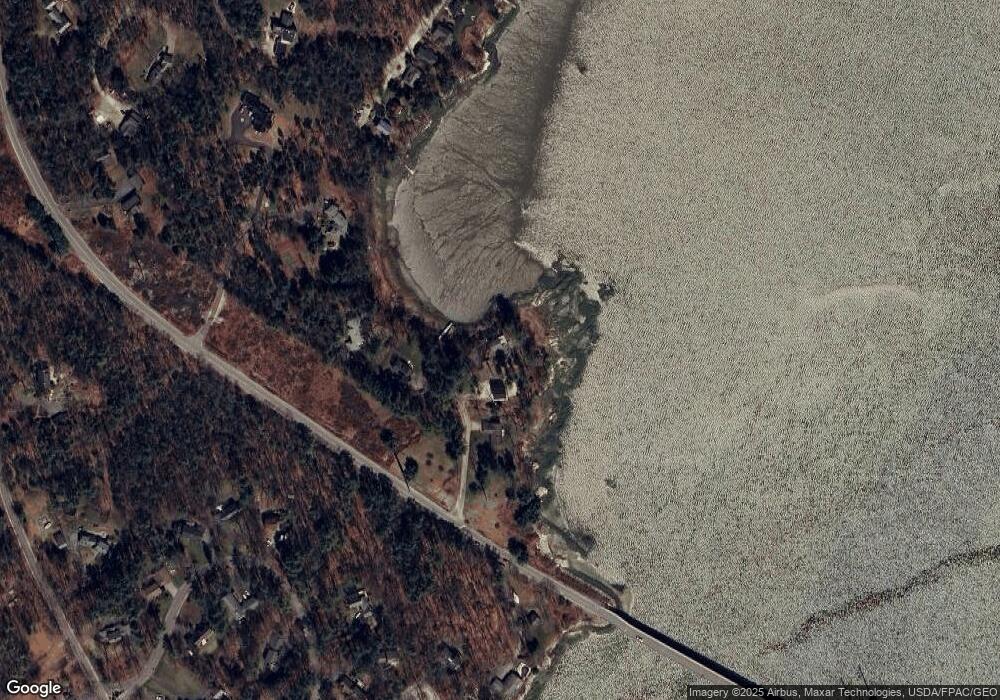
Map
Nearby Homes
- 6 Daybreak Ln Unit 18
- 24 Daybreak Ln
- 51 Meeting House Farms Rd
- 51 Oakland Ave
- 20 Blueberry Cove Rd Unit 20
- 52 Blueberry Cove Rd Unit 52
- 62 Blueberry Cove Rd Unit 62
- 86 Pleasant St
- 87 Wharf Rd
- 51 Pleasant St
- 275 Littlejohn Rd
- 24 York Ledge Dr
- 184 Spruce Point Rd
- 70 Main St
- 149 E Main St Unit 7
- 1 Ledge Rd
- 393 E Main St
- 1 Railroad Square Unit Townhome C
- 1 Railroad Square Unit 103
- 1 Railroad Square Unit 205
- 21 Westcustogo Point
- 35 Westcustogo Point
- 49 Westcustogo Point
- TBD Serenity Ln
- 166 Whites Cove Rd
- 4 Spinnaker Ln
- 164 Whites Cove Rd
- 154 Whites Cove Rd
- 148 Whites Cove Rd
- 50 Seaborne Dr
- 74 Seaborne Dr
- 26 Channel Point Rd
- 20 Channel Point Rd
- 142 Whites Cove Rd
- 32 Serenity Ln
- 44 Seaborne Dr
- 134 Whites Cove Rd
- 17 Spinnaker Ln
- 130 Whites Cove
- 000 Confidential