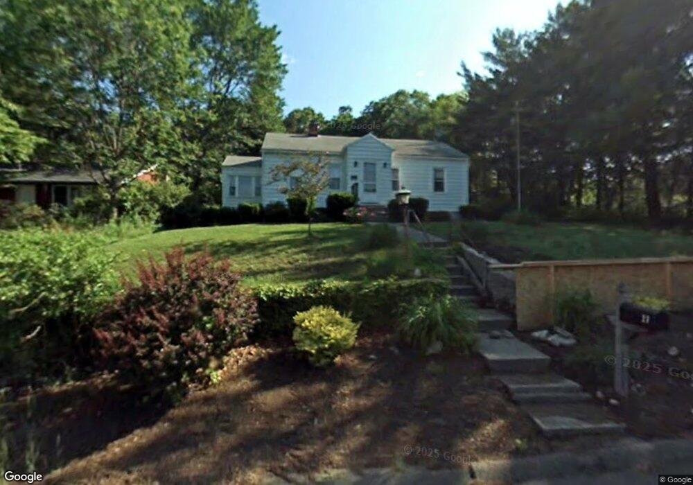
27 Westerman Ave Seymour, CT 06483
Estimated Value: $283,000 - $371,000
3
Beds
1
Bath
988
Sq Ft
$327/Sq Ft
Est. Value
About This Home
This home is located at 27 Westerman Ave, Seymour, CT 06483 and is currently estimated at $322,804, approximately $326 per square foot. 27 Westerman Ave is a home located in New Haven County with nearby schools including Seymour Middle School, Seymour High School, and Assumption School.
Ownership History
Date
Name
Owned For
Owner Type
Purchase Details
Closed on
Dec 30, 2005
Sold by
Schiumo Carol A
Bought by
Miller Susan
Current Estimated Value
Home Financials for this Owner
Home Financials are based on the most recent Mortgage that was taken out on this home.
Original Mortgage
$179,920
Outstanding Balance
$112,787
Interest Rate
8.4%
Estimated Equity
$210,017
Purchase Details
Closed on
Apr 5, 2000
Sold by
Irish Anne and Ubladi Leo M
Bought by
Schiumo Carol A
Home Financials for this Owner
Home Financials are based on the most recent Mortgage that was taken out on this home.
Original Mortgage
$106,400
Interest Rate
8.3%
Create a Home Valuation Report for This Property
The Home Valuation Report is an in-depth analysis detailing your home's value as well as a comparison with similar homes in the area
Home Values in the Area
Average Home Value in this Area
Purchase History
| Date | Buyer | Sale Price | Title Company |
|---|---|---|---|
| Miller Susan | $224,900 | -- | |
| Schiumo Carol A | $112,000 | -- |
Source: Public Records
Mortgage History
| Date | Status | Borrower | Loan Amount |
|---|---|---|---|
| Open | Schiumo Carol A | $179,920 | |
| Closed | Schiumo Carol A | $44,980 | |
| Previous Owner | Schiumo Carol A | $111,500 | |
| Previous Owner | Schiumo Carol A | $106,400 |
Source: Public Records
Tax History Compared to Growth
Tax History
| Year | Tax Paid | Tax Assessment Tax Assessment Total Assessment is a certain percentage of the fair market value that is determined by local assessors to be the total taxable value of land and additions on the property. | Land | Improvement |
|---|---|---|---|---|
| 2025 | $4,814 | $173,670 | $33,600 | $140,070 |
| 2024 | $4,407 | $119,630 | $26,600 | $93,030 |
| 2023 | $4,304 | $119,630 | $26,600 | $93,030 |
| 2022 | $4,258 | $119,630 | $26,600 | $93,030 |
| 2021 | $4,152 | $119,630 | $26,600 | $93,030 |
| 2020 | $3,883 | $107,870 | $31,220 | $76,650 |
| 2019 | $3,883 | $107,870 | $31,220 | $76,650 |
| 2018 | $3,883 | $107,870 | $31,220 | $76,650 |
| 2017 | $3,883 | $107,870 | $31,220 | $76,650 |
| 2016 | $3,883 | $107,870 | $31,220 | $76,650 |
| 2015 | $4,085 | $118,090 | $35,070 | $83,020 |
| 2014 | $4,020 | $118,090 | $35,070 | $83,020 |
Source: Public Records
Map
Nearby Homes
- 3 Hine St
- 25 Oakwood Dr
- 17 Patton Ave
- 61 Moss Ave
- 169 Derby Ave
- 17 Warren Dr
- 9 Omar St
- 9 Wooster St
- 50 Bissell Place
- 77 S Main St
- 36 Bungay Terrace
- 50 Bellevue Terrace
- 57 Bellevue Terrace
- 26-28 S Main St
- 4 Nickel Mine Dr
- 226 Walnut St
- 4 Mead Farm Rd
- 22 Pheasant Dr
- 3 Deer Run Dr
- 21 Great Oak Ridge Way Unit 21
- 23 Westerman Ave
- 32 Westerman Ave
- 30 Westerman Ave
- 29 Moss Ave Unit 22
- 29 Moss Ave Unit 23
- 29 Moss Ave Unit 21
- 29 Moss Ave Unit 17
- 29 Moss Ave Unit 16
- 29 Moss Ave Unit 15
- 29 Moss Ave Unit 14
- 29 Moss Ave Unit 12
- 29 Moss Ave Unit 10
- 29 Moss Ave Unit 9
- 29 Moss Ave Unit 8
- 29 Moss Ave Unit 7
- 29 Moss Ave Unit 6
- 29 Moss Ave Unit 5
- 29 Moss Ave Unit 4
- 29 Moss Ave Unit 3
- 29 Moss Ave Unit 2