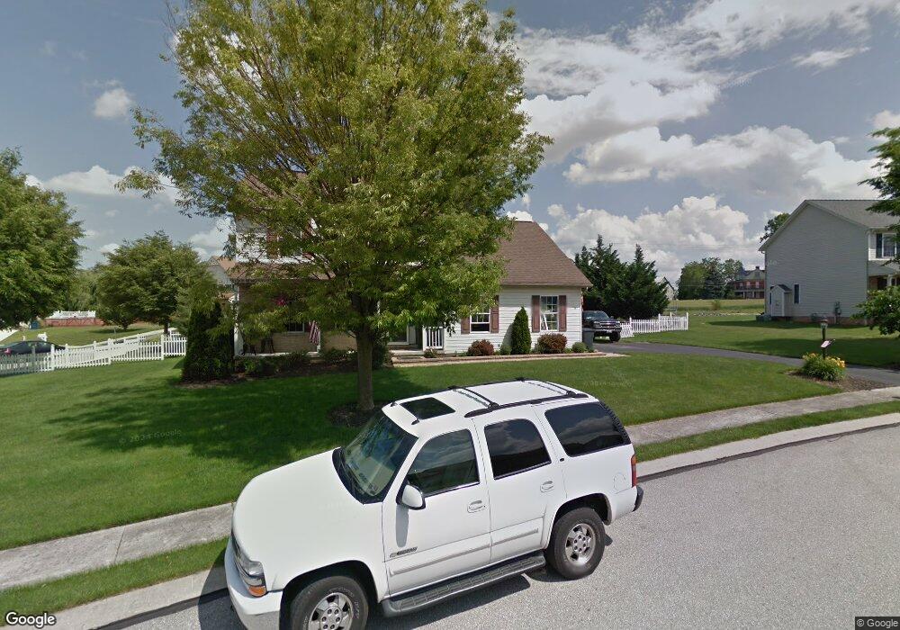
27 Wheaton Dr Unit 72 Littlestown, PA 17340
Estimated Value: $384,994 - $457,000
3
Beds
3
Baths
2,414
Sq Ft
$175/Sq Ft
Est. Value
About This Home
This home is located at 27 Wheaton Dr Unit 72, Littlestown, PA 17340 and is currently estimated at $421,249, approximately $174 per square foot. 27 Wheaton Dr Unit 72 is a home located in Adams County with nearby schools including Rolling Acres El School, Maple Avenue Middle School, and Littlestown Senior High School.
Ownership History
Date
Name
Owned For
Owner Type
Purchase Details
Closed on
Nov 15, 2011
Sold by
Goth Karen L and Goth Philip
Bought by
Barthel William H and Barthel Wanda D
Current Estimated Value
Home Financials for this Owner
Home Financials are based on the most recent Mortgage that was taken out on this home.
Original Mortgage
$168,000
Outstanding Balance
$16,216
Interest Rate
3.27%
Mortgage Type
New Conventional
Estimated Equity
$405,033
Create a Home Valuation Report for This Property
The Home Valuation Report is an in-depth analysis detailing your home's value as well as a comparison with similar homes in the area
Home Values in the Area
Average Home Value in this Area
Purchase History
| Date | Buyer | Sale Price | Title Company |
|---|---|---|---|
| Barthel William H | $265,900 | None Available |
Source: Public Records
Mortgage History
| Date | Status | Borrower | Loan Amount |
|---|---|---|---|
| Open | Barthel William H | $168,000 |
Source: Public Records
Tax History Compared to Growth
Tax History
| Year | Tax Paid | Tax Assessment Tax Assessment Total Assessment is a certain percentage of the fair market value that is determined by local assessors to be the total taxable value of land and additions on the property. | Land | Improvement |
|---|---|---|---|---|
| 2025 | $4,914 | $259,600 | $52,500 | $207,100 |
| 2024 | $4,697 | $259,600 | $52,500 | $207,100 |
| 2023 | $4,604 | $259,600 | $52,500 | $207,100 |
| 2022 | $4,602 | $259,600 | $52,500 | $207,100 |
| 2021 | $4,439 | $259,600 | $52,500 | $207,100 |
| 2020 | $4,375 | $259,600 | $52,500 | $207,100 |
| 2019 | $4,282 | $259,600 | $52,500 | $207,100 |
| 2018 | $4,189 | $259,600 | $52,500 | $207,100 |
| 2017 | $4,045 | $259,600 | $52,500 | $207,100 |
| 2016 | -- | $259,600 | $52,500 | $207,100 |
| 2015 | -- | $259,600 | $52,500 | $207,100 |
| 2014 | -- | $259,600 | $52,500 | $207,100 |
Source: Public Records
Map
Nearby Homes
- 567 Lumber St
- 559 Lumber St
- 535 Lumber St
- 449 Glenwyn Dr
- 43 Ashfield Dr Unit 14
- 41 Smith Cir
- 211 E King St
- 106 E King St
- 61 E King St
- 162 Newark St
- 241 M St
- 115 Charles St
- 117 Charles St
- 140 Apple Grove Ln Unit 425
- LOT 9 Mehring Rd
- 440 N Queen St
- 129 W King St
- 22 Rita Marie Ave
- 0 Locust Dr Unit PAAD2015910
- 20c Locust Dr
- 25 Wheaton Dr Unit 71
- 3 Tudor Ct Unit 73
- 26 Wheaton Dr Unit 96
- 5 Tudor Ct Unit 74
- 23 Wheaton Dr Unit 70
- 29 Wheaton Dr
- 22 Wheaton Dr Unit 95
- 30 Wheaton Dr Unit 97
- 4 Tudor Ct Unit 75
- 21 Wheaton Dr Unit 69
- 31 Wheaton Dr Unit 77
- 6 Manor Cir Unit 100
- 20 Wheaton Dr Unit 94
- 4 Manor Cir Unit 99
- 2 Manor Cir Unit 98
- 17 Fieldcrest Dr Unit 156
- 19 Wheaton Dr Unit 68
- 15 Fieldcrest Dr Unit 155
- 33 Wheaton Dr Unit 78
- 18 Wheaton Dr Unit 93