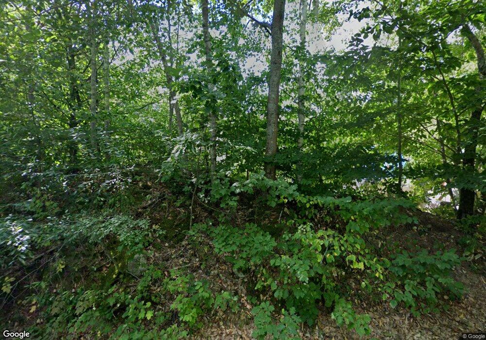
27 Wilson Spur Limerick, ME 04048
Estimated Value: $372,000 - $410,000
2
Beds
1
Bath
816
Sq Ft
$479/Sq Ft
Est. Value
About This Home
This home is located at 27 Wilson Spur, Limerick, ME 04048 and is currently estimated at $390,829, approximately $478 per square foot. 27 Wilson Spur is a home located in York County with nearby schools including Massabesic High School.
Ownership History
Date
Name
Owned For
Owner Type
Purchase Details
Closed on
Oct 3, 2006
Sold by
Marks Michelle and Marks Matthew E
Bought by
Libby Renee D and Libby Jason A
Current Estimated Value
Home Financials for this Owner
Home Financials are based on the most recent Mortgage that was taken out on this home.
Original Mortgage
$161,160
Outstanding Balance
$95,490
Interest Rate
6.52%
Mortgage Type
Purchase Money Mortgage
Estimated Equity
$295,339
Create a Home Valuation Report for This Property
The Home Valuation Report is an in-depth analysis detailing your home's value as well as a comparison with similar homes in the area
Home Values in the Area
Average Home Value in this Area
Purchase History
| Date | Buyer | Sale Price | Title Company |
|---|---|---|---|
| Libby Renee D | -- | -- |
Source: Public Records
Mortgage History
| Date | Status | Borrower | Loan Amount |
|---|---|---|---|
| Open | Libby Renee D | $161,160 |
Source: Public Records
Tax History Compared to Growth
Tax History
| Year | Tax Paid | Tax Assessment Tax Assessment Total Assessment is a certain percentage of the fair market value that is determined by local assessors to be the total taxable value of land and additions on the property. | Land | Improvement |
|---|---|---|---|---|
| 2025 | $3,191 | $335,867 | $85,798 | $250,069 |
| 2024 | $3,191 | $335,867 | $85,798 | $250,069 |
| 2023 | $2,836 | $186,553 | $33,450 | $153,103 |
| 2022 | $2,649 | $186,552 | $33,450 | $153,102 |
| 2021 | $2,477 | $149,242 | $26,760 | $122,482 |
| 2020 | $2,448 | $149,242 | $26,760 | $122,482 |
| 2019 | $2,907 | $149,242 | $26,760 | $122,482 |
| 2018 | $2,819 | $149,242 | $26,760 | $122,482 |
| 2017 | $3,039 | $149,242 | $26,760 | $122,482 |
| 2016 | $2,246 | $149,242 | $26,760 | $122,482 |
| 2015 | $2,179 | $149,242 | $26,760 | $122,482 |
| 2014 | $2,112 | $149,242 | $26,760 | $122,482 |
Source: Public Records
Map
Nearby Homes
- LOT# 8 Business Park Rd
- Lot# 11 Business Park Rd
- 4 Deer Crossing Rd
- 14 Mallard Dr
- 55 Sportsmans Way
- 33 Maple St
- 7 Echo Ln
- 148 Washington St Unit A
- 91 Pleasant Hill Rd
- 110 Pleasant Hill Rd
- 16 Whiteley Rd
- 24 Emery Corner Rd
- 36 Elm St
- 48 King Hill Rd
- 21 Quarry Rd
- 71 Quarry Rd
- 50 Island Rd
- 0 Island Rd Unit 1643509
- 13 Quaker Ln
- Lot 12 Prokey Dr
- 24 Wilson Spur
- 94 Wilson Spur
- 388 Owl Ridge Rd
- 390 Owl Ridge Rd
- 7 Wilson Spur
- 183 Burnham Rd
- 202 Burnham Rd
- 3 Owl Ridge Rd
- 6 Wilson Spur
- Lot 1 Rock Rd
- 190 Burnham Rd
- 0 Marten Cir Unit 248618
- 0 Marten Cir Unit 566689
- 0 Marten Cir Unit 561327
- 0 Marten Cir Unit 1153742
- 0 Island On Sokokis Lake Unit 2724606
- 000 Pennell
- 0 Island On Sokokis Lake Unit 894932
- 0abc Coffin Hill Rd
- 176 Burnham Rd
